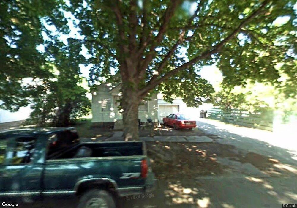
129 8th St W Kalispell, MT 59901
Estimated Value: $366,000 - $452,000
1
Bed
1
Bath
560
Sq Ft
$742/Sq Ft
Est. Value
About This Home
This home is located at 129 8th St W, Kalispell, MT 59901 and is currently estimated at $415,657, approximately $742 per square foot. 129 8th St W is a home located in Flathead County with nearby schools including Elrod School, Kalispell Middle School, and Flathead High School.
Ownership History
Date
Name
Owned For
Owner Type
Purchase Details
Closed on
Oct 30, 2017
Sold by
Gardner Tarcy A
Bought by
Gardner Julie R
Current Estimated Value
Home Financials for this Owner
Home Financials are based on the most recent Mortgage that was taken out on this home.
Original Mortgage
$225,000
Outstanding Balance
$188,189
Interest Rate
3.78%
Mortgage Type
New Conventional
Estimated Equity
$227,468
Purchase Details
Closed on
Aug 17, 2005
Sold by
Mcmannamy Reynold E and Mcmannamy Linda J
Bought by
Gardner Tracy A and Gardner Julie R
Create a Home Valuation Report for This Property
The Home Valuation Report is an in-depth analysis detailing your home's value as well as a comparison with similar homes in the area
Purchase History
| Date | Buyer | Sale Price | Title Company |
|---|---|---|---|
| Gardner Julie R | -- | None Available | |
| Gardner Tracy A | -- | Citizens Title & Escrow Co I |
Source: Public Records
Mortgage History
| Date | Status | Borrower | Loan Amount |
|---|---|---|---|
| Open | Gardner Julie R | $225,000 |
Source: Public Records
Tax History
| Year | Tax Paid | Tax Assessment Tax Assessment Total Assessment is a certain percentage of the fair market value that is determined by local assessors to be the total taxable value of land and additions on the property. | Land | Improvement |
|---|---|---|---|---|
| 2025 | $2,431 | $474,530 | $0 | $0 |
| 2024 | $2,936 | $376,970 | $0 | $0 |
| 2023 | $3,792 | $376,970 | $0 | $0 |
| 2022 | $3,835 | $289,860 | $0 | $0 |
| 2021 | $3,119 | $289,860 | $0 | $0 |
| 2020 | $3,499 | $247,760 | $0 | $0 |
| 2019 | $3,511 | $247,760 | $0 | $0 |
| 2018 | $3,321 | $220,680 | $0 | $0 |
| 2017 | $2,313 | $220,680 | $0 | $0 |
| 2016 | $2,794 | $192,620 | $0 | $0 |
| 2015 | $2,793 | $192,620 | $0 | $0 |
| 2014 | $2,564 | $102,698 | $0 | $0 |
Source: Public Records
Map
Nearby Homes
Your Personal Tour Guide
Ask me questions while you tour the home.