129 Ariel Cir Sutton, MA 01590
Estimated Value: $502,365 - $536,000
2
Beds
3
Baths
2,042
Sq Ft
$254/Sq Ft
Est. Value
About This Home
This home is located at 129 Ariel Cir, Sutton, MA 01590 and is currently estimated at $518,841, approximately $254 per square foot. 129 Ariel Cir is a home located in Worcester County with nearby schools including Sutton Elementary School, Sutton Middle School, and Sutton High School.
Ownership History
Date
Name
Owned For
Owner Type
Purchase Details
Closed on
Aug 13, 2019
Sold by
Bolduc Philip H and Waldo Dorothy
Bought by
Bolduc Joseph J and Bolduc Michele J
Current Estimated Value
Home Financials for this Owner
Home Financials are based on the most recent Mortgage that was taken out on this home.
Original Mortgage
$170,000
Outstanding Balance
$147,909
Interest Rate
3.8%
Mortgage Type
New Conventional
Estimated Equity
$370,932
Purchase Details
Closed on
Apr 14, 2016
Sold by
Buffone Lt and Buffone
Bought by
Bolduc Philip H and Bolduc Joseph J
Purchase Details
Closed on
Jun 1, 2005
Sold by
Ariel Circle Llc
Bought by
Buffone Daniel and Buffone Karen A
Home Financials for this Owner
Home Financials are based on the most recent Mortgage that was taken out on this home.
Original Mortgage
$239,920
Interest Rate
5.83%
Mortgage Type
Purchase Money Mortgage
Create a Home Valuation Report for This Property
The Home Valuation Report is an in-depth analysis detailing your home's value as well as a comparison with similar homes in the area
Home Values in the Area
Average Home Value in this Area
Purchase History
| Date | Buyer | Sale Price | Title Company |
|---|---|---|---|
| Bolduc Joseph J | -- | -- | |
| Bolduc Philip H | $288,000 | -- | |
| Buffone Daniel | $299,900 | -- | |
| Buffone Daniel | $299,900 | -- |
Source: Public Records
Mortgage History
| Date | Status | Borrower | Loan Amount |
|---|---|---|---|
| Open | Bolduc Joseph J | $170,000 | |
| Previous Owner | Buffone Daniel | $239,920 |
Source: Public Records
Tax History Compared to Growth
Tax History
| Year | Tax Paid | Tax Assessment Tax Assessment Total Assessment is a certain percentage of the fair market value that is determined by local assessors to be the total taxable value of land and additions on the property. | Land | Improvement |
|---|---|---|---|---|
| 2025 | $5,730 | $459,900 | $0 | $459,900 |
| 2024 | $5,074 | $393,600 | $0 | $393,600 |
| 2023 | $4,514 | $320,600 | $0 | $320,600 |
| 2022 | $4,838 | $311,700 | $0 | $311,700 |
| 2021 | $4,649 | $284,700 | $0 | $284,700 |
| 2020 | $4,655 | $284,700 | $0 | $284,700 |
| 2019 | $4,952 | $292,000 | $0 | $292,000 |
| 2018 | $4,287 | $252,000 | $0 | $252,000 |
| 2017 | $4,062 | $239,500 | $0 | $239,500 |
| 2016 | $4,053 | $236,300 | $0 | $236,300 |
| 2015 | $3,894 | $227,700 | $0 | $227,700 |
| 2014 | $3,826 | $219,400 | $0 | $219,400 |
Source: Public Records
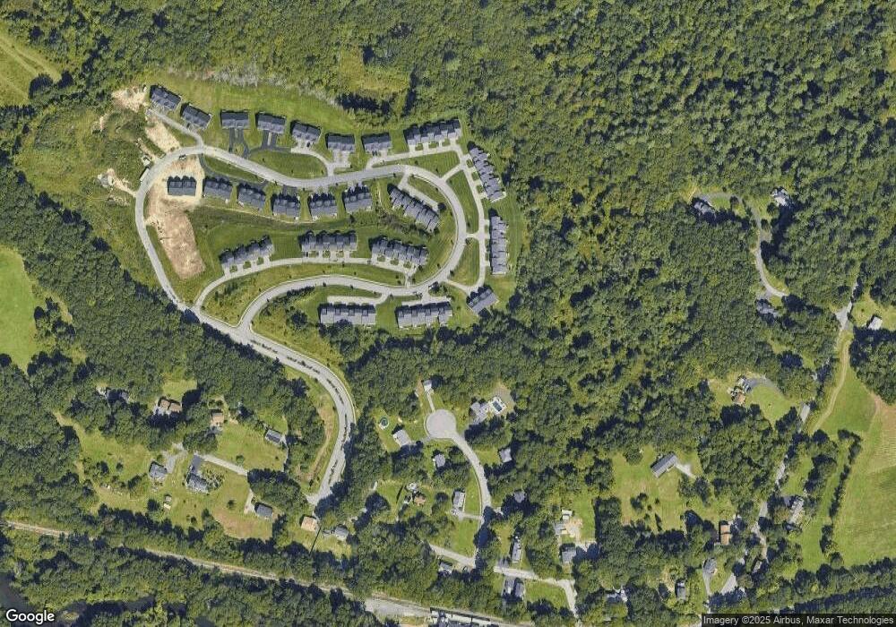
Map
Nearby Homes
- 115 Ariel Cir
- 150 Ariel Cir
- 8 Autumn Gate Cir
- Lot 1 Cooper Rd
- 7 Pine Hill Rd
- 20 Millers Way Unit C
- 7 Millers Way Unit C
- 11 Coldspring Dr Unit B
- 58 Fisherville Terrace
- 24 Coldspring Dr Unit B
- 55 Fisherville Terrace
- 20 Woodridge Rd
- 19 Wildflower Dr
- 19 Rice Rd
- 4 Thomas Hill Rd
- 5 Wildflower Dr
- 29 Sampson St Unit 29
- 90 Leland Hill Rd
- 16 Jackie Dr
- 2 Jessica j Dr
- 135 Ariel Cir
- 133 Ariel Cir
- 131 Ariel Cir
- 129 Ariel Cir Unit 129
- 133 Ariel Cir Unit 133
- 132 Ariel Cir
- 134 Ariel Cir
- 136 Ariel Cir
- 138 Ariel Cir
- 136 Ariel Cir Unit 136
- 12 Marks Way
- 12 Mark's Way
- 143 Ariel Cir
- 141 Ariel Cir
- 139 Ariel Cir
- 137 Ariel Cir
- 139 Ariel Cir Unit 139
- 100 Ariel Cir Unit 68
- 100 Ariel Cir
- 102 Ariel Cir