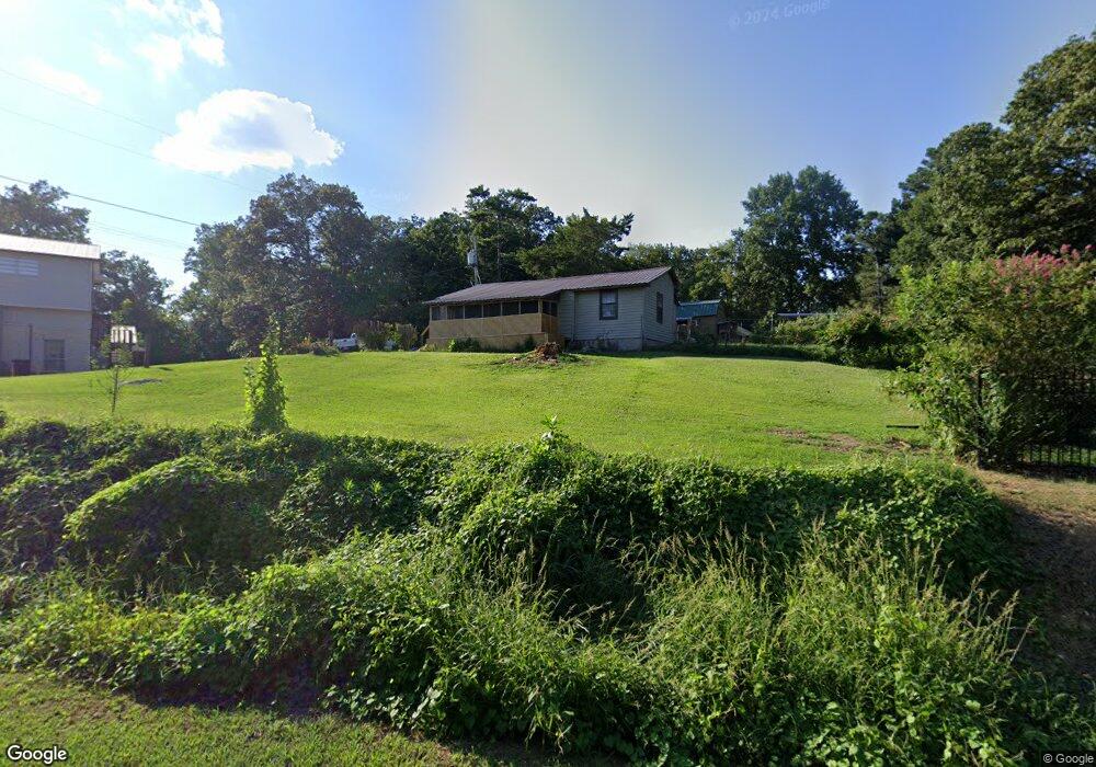
129 Barnard Rd Cohutta, GA 30710
Estimated Value: $108,068 - $255,000
3
Beds
2
Baths
1,568
Sq Ft
$123/Sq Ft
Est. Value
About This Home
This home is located at 129 Barnard Rd, Cohutta, GA 30710 and is currently estimated at $192,517, approximately $122 per square foot. 129 Barnard Rd is a home located in Whitfield County with nearby schools including Beaverdale Elementary School and Coahulla Creek High School.
Ownership History
Date
Name
Owned For
Owner Type
Purchase Details
Closed on
Feb 6, 2007
Sold by
Vanderbilt Mtg & Finance
Bought by
Vanderbilt Mtg & Finance Inc
Current Estimated Value
Purchase Details
Closed on
Oct 31, 2006
Sold by
Not Provided
Bought by
Cronan Dennis
Home Financials for this Owner
Home Financials are based on the most recent Mortgage that was taken out on this home.
Original Mortgage
$24,462
Interest Rate
6.25%
Mortgage Type
New Conventional
Purchase Details
Closed on
Apr 1, 1994
Bought by
Cronan Dennis
Create a Home Valuation Report for This Property
The Home Valuation Report is an in-depth analysis detailing your home's value as well as a comparison with similar homes in the area
Home Values in the Area
Average Home Value in this Area
Purchase History
| Date | Buyer | Sale Price | Title Company |
|---|---|---|---|
| Vanderbilt Mtg & Finance Inc | $34,200 | -- | |
| Cronan Dennis | -- | -- | |
| Cronan Dennis | -- | -- |
Source: Public Records
Mortgage History
| Date | Status | Borrower | Loan Amount |
|---|---|---|---|
| Previous Owner | Cronan Dennis | $24,462 |
Source: Public Records
Tax History Compared to Growth
Tax History
| Year | Tax Paid | Tax Assessment Tax Assessment Total Assessment is a certain percentage of the fair market value that is determined by local assessors to be the total taxable value of land and additions on the property. | Land | Improvement |
|---|---|---|---|---|
| 2024 | -- | $38,731 | $1,878 | $36,853 |
| 2023 | $0 | $17,567 | $1,425 | $16,142 |
| 2022 | $274 | $16,611 | $1,251 | $15,360 |
| 2021 | $274 | $16,611 | $1,251 | $15,360 |
| 2020 | $274 | $16,611 | $1,251 | $15,360 |
| 2019 | $274 | $16,611 | $1,251 | $15,360 |
| 2018 | $270 | $16,398 | $1,038 | $15,360 |
| 2017 | $270 | $16,398 | $1,038 | $15,360 |
| 2016 | $264 | $16,070 | $2,100 | $13,970 |
| 2014 | $265 | $16,070 | $2,100 | $13,970 |
| 2013 | -- | $16,070 | $2,100 | $13,970 |
Source: Public Records
Map
Nearby Homes
- 4323 Cronan Dr
- 355 Golf View Dr
- 353 Golf View Dr
- 327 Golf View Dr
- 139 N Hills Dr
- 4503 Crestway Dr
- 4510 Bluffwood Way
- 4511 Crestway Dr
- 0 Tee Top Dr
- 4401 Panorama Dr
- 4405 Panorama Dr
- 103 Paddle Wheel Ct
- 4424 Trailwood Dr
- Lot 93 Country Way
- Lot 92 Country Way
- Tract 8 Wheeler Dam Rd
- Tract 2 Wheeler Dam Rd
- Tract 6 Wheeler Dam Rd
- Tract 9 Wheeler Dam Rd
- Tract 7 Wheeler Dam Rd
- 129 Barnard Rd
- 143 Barnard Rd
- 146 Barnard Rd
- 126 Barnard Rd
- 152 Barnard Rd
- 4374 Cleveland Hwy
- 159 Barnard Rd
- 116 Barnard Rd Unit a
- 4354 Cleveland Hwy
- 4354 Cleveland Hwy
- 4324 Cronan Dr
- 0 Barnard Rd Unit 28058
- 0 Barnard Rd
- 158 Barnard Rd
- 161 Barnard Rd
- 4327 Cronan Dr Unit B
- 4327 Cronan Dr Unit A
- 4320 Cronan Dr
- 174 Barnard Rd
- 4412 Cleveland Hwy