129 Big Oak Ln Winchester, TN 37398
Estimated Value: $344,000 - $464,000
--
Bed
3
Baths
2,065
Sq Ft
$198/Sq Ft
Est. Value
About This Home
This home is located at 129 Big Oak Ln, Winchester, TN 37398 and is currently estimated at $408,710, approximately $197 per square foot. 129 Big Oak Ln is a home located in Franklin County with nearby schools including South Middle School, Franklin County High School, and Winchester Christian Academy.
Ownership History
Date
Name
Owned For
Owner Type
Purchase Details
Closed on
Jun 5, 2013
Sold by
Stephens Kenneth M
Bought by
Stephens Kenneth M
Current Estimated Value
Purchase Details
Closed on
Sep 25, 1998
Sold by
Stephens Pamela Jo
Bought by
Stephens Kenneth M
Purchase Details
Closed on
Oct 11, 1984
Bought by
Stephens Pamela Jo
Purchase Details
Closed on
May 7, 1982
Bought by
Stephens Kenneth Virgil and Pamela Jo
Purchase Details
Closed on
Jan 2, 1982
Create a Home Valuation Report for This Property
The Home Valuation Report is an in-depth analysis detailing your home's value as well as a comparison with similar homes in the area
Home Values in the Area
Average Home Value in this Area
Purchase History
| Date | Buyer | Sale Price | Title Company |
|---|---|---|---|
| Stephens Kenneth M | -- | -- | |
| Stephens Kenneth M | $24,542 | -- | |
| Stephens Pamela Jo | -- | -- | |
| Stephens Kenneth Virgil | -- | -- | |
| -- | $12,000 | -- |
Source: Public Records
Tax History Compared to Growth
Tax History
| Year | Tax Paid | Tax Assessment Tax Assessment Total Assessment is a certain percentage of the fair market value that is determined by local assessors to be the total taxable value of land and additions on the property. | Land | Improvement |
|---|---|---|---|---|
| 2024 | $1,505 | $75,450 | $15,750 | $59,700 |
| 2023 | $1,505 | $75,450 | $15,750 | $59,700 |
| 2022 | $1,415 | $75,450 | $15,750 | $59,700 |
| 2021 | $1,414 | $75,450 | $15,750 | $59,700 |
| 2020 | $1,414 | $49,125 | $11,500 | $37,625 |
| 2019 | $1,414 | $49,125 | $11,500 | $37,625 |
| 2018 | $1,313 | $49,125 | $11,500 | $37,625 |
| 2017 | $1,313 | $49,125 | $11,500 | $37,625 |
| 2016 | $1,162 | $43,475 | $10,375 | $33,100 |
| 2015 | $1,162 | $43,475 | $10,375 | $33,100 |
| 2014 | $1,162 | $43,459 | $0 | $0 |
Source: Public Records
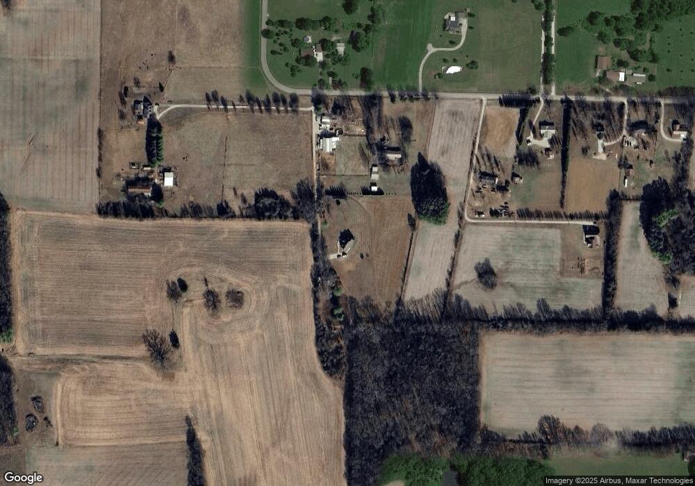
Map
Nearby Homes
- 0 Old Holders Cove Rd
- 630 Shadowbrook Rd
- 1313 Liberty Rd
- 88 Norwood Creek Rd
- 109 Carter Farris Ln
- 1203 Liberty Rd
- 267 Golf Course Ln
- 0 S College St Unit RTC2942332
- 1111 Holders Cove Rd
- 136 Houghton Dr
- 0 Deer Valley Cir Unit RTC2980817
- 0 Deer Valley Cir Unit RTC2980816
- 0 Deer Valley Cir Unit RTC2980815
- 0 Deer Valley Cir Unit RTC2980813
- 0 Deer Valley Cir Unit RTC2980812
- 0 Deer Valley Cir Unit RTC2980811
- 0 Deer Valley Cir Unit RTC2980810
- 0 Deer Valley Cir Unit RTC2980808
- 0 Deer Valley Cir Unit RTC2980805
- 0 Deer Valley Cir Unit RTC2980803
- 3010 Holders Cove Rd
- 2958 Holders Cove Rd
- 2935 Holders Cove Rd
- 2961 Holders Cove Rd
- 3144 Holders Cove Rd
- 3033 Holders Cove Rd
- 3086 Holders Cove Rd
- 3190 Holders Cove Rd
- 2801 Holders Cove Rd
- 3115 Holders Cove Rd
- 3226 Holders Cove Rd
- 3258 Holders Cove Rd
- 40 Black Powder Rd
- 125 Douglas Howard Ln
- 2733 Holders Cove Rd
- 2705 Holders Cove Rd
- 233 Douglas Howard Ln
- 443 Old Holders Cove Rd
- 3784 Holders Cove Rd
- 479 Old Holders Cove Rd