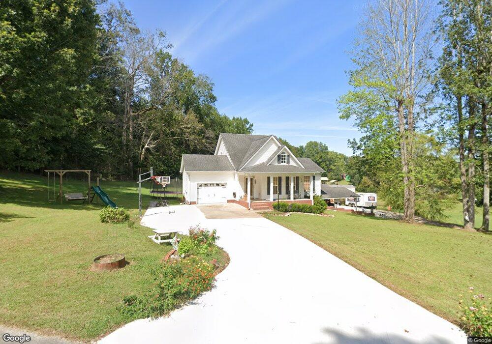
129 Cabin Dr Linden, TN 37096
Estimated Value: $241,000 - $468,000
--
Bed
3
Baths
1,810
Sq Ft
$197/Sq Ft
Est. Value
About This Home
This home is located at 129 Cabin Dr, Linden, TN 37096 and is currently estimated at $356,283, approximately $196 per square foot. 129 Cabin Dr is a home located in Perry County.
Ownership History
Date
Name
Owned For
Owner Type
Purchase Details
Closed on
Aug 16, 2019
Sold by
King Troy and King Maleah
Bought by
Waters Wesley Shane and Waters Emily
Current Estimated Value
Home Financials for this Owner
Home Financials are based on the most recent Mortgage that was taken out on this home.
Original Mortgage
$181,210
Outstanding Balance
$158,362
Interest Rate
3.7%
Mortgage Type
New Conventional
Estimated Equity
$197,921
Purchase Details
Closed on
Aug 18, 2000
Bought by
King Troy and King Maleah
Create a Home Valuation Report for This Property
The Home Valuation Report is an in-depth analysis detailing your home's value as well as a comparison with similar homes in the area
Home Values in the Area
Average Home Value in this Area
Purchase History
| Date | Buyer | Sale Price | Title Company |
|---|---|---|---|
| Waters Wesley Shane | $195,000 | Title Source Inc | |
| King Troy | $18,000 | -- |
Source: Public Records
Mortgage History
| Date | Status | Borrower | Loan Amount |
|---|---|---|---|
| Open | Waters Wesley Shane | $181,210 |
Source: Public Records
Tax History Compared to Growth
Tax History
| Year | Tax Paid | Tax Assessment Tax Assessment Total Assessment is a certain percentage of the fair market value that is determined by local assessors to be the total taxable value of land and additions on the property. | Land | Improvement |
|---|---|---|---|---|
| 2025 | $1,247 | $44,550 | $0 | $0 |
| 2024 | $1,247 | $44,550 | $3,600 | $40,950 |
| 2023 | $1,247 | $44,550 | $3,600 | $40,950 |
| 2022 | $1,247 | $44,550 | $3,600 | $40,950 |
| 2021 | $1,247 | $44,550 | $3,600 | $40,950 |
| 2020 | $1,023 | $44,550 | $3,600 | $40,950 |
| 2019 | $1,244 | $41,700 | $4,500 | $37,200 |
| 2018 | $1,244 | $41,700 | $4,500 | $37,200 |
| 2017 | $1,232 | $41,700 | $4,500 | $37,200 |
| 2016 | $1,232 | $41,700 | $4,500 | $37,200 |
| 2015 | $1,212 | $41,700 | $4,500 | $37,200 |
| 2014 | $1,212 | $41,700 | $4,500 | $37,200 |
| 2013 | $1,142 | $39,337 | $0 | $0 |
Source: Public Records
Map
Nearby Homes
- 218 Cedar Ave
- 122 Shelton St
- 2017 Airport Ridge Rd
- 2082 Airport Ridge Rd
- 141 Maple St
- 130 Elm Ln
- 245 S Mill St
- 0 Church St
- 117 Wyatt Ln
- 0 Treadwell Prong Unit RTC2707562
- 628 Starlight Dr
- 8884 U S Highway 412
- 8072 Old Hohenwald Rd
- 5681 Old Hohenwald Rd
- 4439 Old Hohenwald Rd
- 7696 Old Hohenwald Rd
- 6004 Old Hohenwald Rd
- 5608 Old Hohenwald Rd
- 107 Possum Trot Ln
- 2172 Airport Ridge Rd
- 127 Cabin Dr
- 236 Southwood Dr
- 124 Cabin Dr
- 230 Southwood Dr
- 121 Cabin Dr
- 237 Southwood Dr
- 226 Southwood Dr
- 233 Southwood Dr
- 119 Cabin Dr
- 229 Southwood Dr
- 222 Southwood Dr
- 231 Cedar Ave
- 230 Cedar Ave
- 223 Southwood Dr
- 52 Tennessee 13
- 4850 Cedar Ave
- 214 Southwood Dr
- 228 Cedar Ave
- 1088 Big Opossum Rd
- 229 Cedar Ave