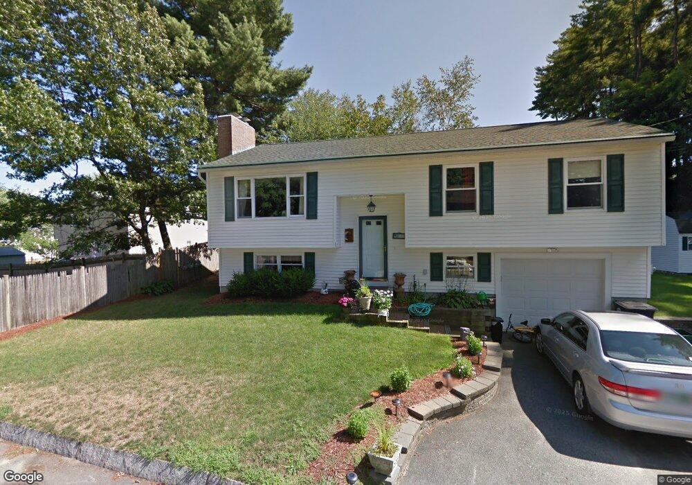
129 Calais St Unit 124 Nashua, NH 03060
South End Nashua NeighborhoodEstimated Value: $464,671 - $529,000
3
Beds
2
Baths
1,130
Sq Ft
$440/Sq Ft
Est. Value
About This Home
This home is located at 129 Calais St Unit 124, Nashua, NH 03060 and is currently estimated at $496,668, approximately $439 per square foot. 129 Calais St Unit 124 is a home located in Hillsborough County with nearby schools including Fairgrounds Elementary School, Fairgrounds Middle School, and Nashua High School South.
Ownership History
Date
Name
Owned For
Owner Type
Purchase Details
Closed on
Nov 4, 2002
Sold by
Trottier Therese G
Bought by
Mccabe Richard P and Mccabe Kim
Current Estimated Value
Home Financials for this Owner
Home Financials are based on the most recent Mortgage that was taken out on this home.
Original Mortgage
$186,950
Interest Rate
6.09%
Mortgage Type
Purchase Money Mortgage
Create a Home Valuation Report for This Property
The Home Valuation Report is an in-depth analysis detailing your home's value as well as a comparison with similar homes in the area
Home Values in the Area
Average Home Value in this Area
Purchase History
| Date | Buyer | Sale Price | Title Company |
|---|---|---|---|
| Mccabe Richard P | $189,900 | -- |
Source: Public Records
Mortgage History
| Date | Status | Borrower | Loan Amount |
|---|---|---|---|
| Open | Mccabe Richard P | $10,000 | |
| Closed | Mccabe Richard P | $10,000 | |
| Open | Mccabe Richard P | $210,000 | |
| Closed | Mccabe Richard P | $186,950 |
Source: Public Records
Tax History Compared to Growth
Tax History
| Year | Tax Paid | Tax Assessment Tax Assessment Total Assessment is a certain percentage of the fair market value that is determined by local assessors to be the total taxable value of land and additions on the property. | Land | Improvement |
|---|---|---|---|---|
| 2024 | $7,238 | $455,200 | $128,100 | $327,100 |
| 2023 | $6,918 | $379,500 | $102,500 | $277,000 |
| 2022 | $6,858 | $379,500 | $102,500 | $277,000 |
| 2021 | $5,986 | $257,800 | $68,300 | $189,500 |
| 2020 | $5,485 | $242,600 | $68,300 | $174,300 |
| 2019 | $5,279 | $242,600 | $68,300 | $174,300 |
| 2018 | $5,146 | $242,600 | $68,300 | $174,300 |
| 2017 | $4,751 | $184,200 | $70,400 | $113,800 |
| 2016 | $4,618 | $184,200 | $70,400 | $113,800 |
| 2015 | $4,518 | $184,200 | $70,400 | $113,800 |
| 2014 | $4,430 | $184,200 | $70,400 | $113,800 |
Source: Public Records
Map
Nearby Homes
- 11 Bordeaux St
- 22 Kern Dr
- 41 New Dunstable Rd Unit 371
- 22 New Dunstable Rd Unit 132133
- 247 Main Dunstable Rd
- 4 Henry David Dr Unit 203
- 97 Linwood St
- 29 Greenwood Dr
- 63 Dexter St
- 23 Glen Dr
- 169A W Hollis St Unit 193
- 8 Althea Ln Unit U26
- 30 Gendron St
- 4 Badger St
- 121 Palm St
- 22 Wilder St
- 47 Dogwood Dr Unit U202
- 15 Lovell St Unit 20
- 15 Lovell St Unit 3
- 15 Lovell St Unit 7
- 7 Verdun Ave
- 16 Calais St
- 127 Calais St Unit 127A
- 25 Kingston Dr Unit 27
- 29 Kingston Dr Unit 31
- 32 Ferson St
- 21 Kingston Dr Unit 23
- 33 Kingston Dr
- 125 Calais St Unit 125A
- 30 Ferson St
- 16 Pine Grove Ave
- 5 Verdun Ave
- 33 Ferson St
- 24 Kingston Dr Unit 26
- Lot 0 Bordeaux St
- 88 Pine St
- 8 Pine Grove Ave
- 123 Calais St Unit 123A
- 17 Kingston Dr
- 28 Ferson St