Estimated Value: $414,000 - $974,051
3
Beds
3
Baths
3,576
Sq Ft
$181/Sq Ft
Est. Value
About This Home
This home is located at 129 Campbell Mill Rd, Mason, NH 03048 and is currently estimated at $646,684, approximately $180 per square foot. 129 Campbell Mill Rd is a home.
Ownership History
Date
Name
Owned For
Owner Type
Purchase Details
Closed on
Oct 8, 2019
Sold by
Maillet Eric A
Bought by
Maillet Eric A and Maillet Dustin Cynthia
Current Estimated Value
Purchase Details
Closed on
Jun 22, 2015
Sold by
Maillet Antoine
Bought by
Maillet Eric A
Home Financials for this Owner
Home Financials are based on the most recent Mortgage that was taken out on this home.
Original Mortgage
$111,000
Interest Rate
3.78%
Mortgage Type
New Conventional
Create a Home Valuation Report for This Property
The Home Valuation Report is an in-depth analysis detailing your home's value as well as a comparison with similar homes in the area
Home Values in the Area
Average Home Value in this Area
Purchase History
| Date | Buyer | Sale Price | Title Company |
|---|---|---|---|
| Maillet Eric A | -- | -- | |
| Maillet Eric A | $148,000 | -- |
Source: Public Records
Mortgage History
| Date | Status | Borrower | Loan Amount |
|---|---|---|---|
| Previous Owner | Maillet Eric A | $111,000 |
Source: Public Records
Tax History Compared to Growth
Tax History
| Year | Tax Paid | Tax Assessment Tax Assessment Total Assessment is a certain percentage of the fair market value that is determined by local assessors to be the total taxable value of land and additions on the property. | Land | Improvement |
|---|---|---|---|---|
| 2024 | $16,023 | $627,114 | $112,814 | $514,300 |
| 2023 | $14,883 | $627,430 | $113,130 | $514,300 |
| 2022 | $12,756 | $627,430 | $113,130 | $514,300 |
| 2021 | $11,744 | $591,942 | $113,142 | $478,800 |
| 2020 | $8,130 | $301,017 | $91,517 | $209,500 |
| 2019 | $7,899 | $301,017 | $91,517 | $209,500 |
| 2018 | $7,580 | $301,017 | $91,517 | $209,500 |
| 2017 | $7,568 | $300,918 | $91,418 | $209,500 |
| 2016 | $7,410 | $293,918 | $91,418 | $202,500 |
| 2015 | $6,731 | $283,072 | $84,772 | $198,300 |
| 2014 | $6,719 | $282,172 | $84,772 | $197,400 |
| 2013 | $5,304 | $213,000 | $84,700 | $128,300 |
Source: Public Records
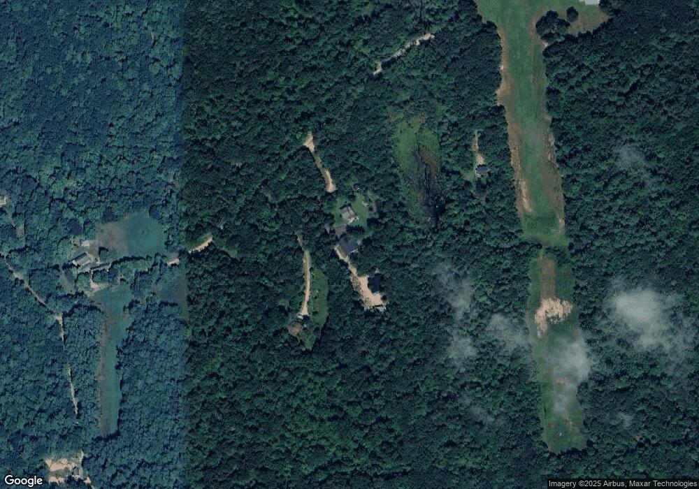
Map
Nearby Homes
- 1235 Townsend Rd
- 9 Winterberry Rd
- 7 Winterberry Rd
- 59 Cleveland Hill Rd
- 1275 Valley Rd
- 6 Laurelcrest Dr
- 38 Countryside Dr
- 18 Bridle Path
- 75 Merriam Hill Rd
- 11 Fox Run
- 3 Ben Farnsworth Rd
- 0 Brookline St
- 15 N End Rd
- 104 N Mason Rd
- 183 New Hillcrest Dr
- 39 Old Ashby Rd
- 87 Laurel Dr
- 64 Meadow Rd
- 1-65-C Barrett Rd
- 53 W Meadow Rd
- lot H-50-1 Campbell Mill
- 101 Campbell Mill Rd
- 203 Campbell Mill Rd
- 50 Campbell Mill Rd
- 24 Campbell Mill Rd
- 227 Campbell Mill Rd
- 717 Hurricane Hill Rd
- 555 Hurricane Hill Rd
- 596 Hurricane Hill Rd
- 525 Hurricane Hill Rd
- H-50 Campbell Mill Rd
- H-50-1 Campbell Mill Rd
- H-50-2 Campbell Mill Rd
- 775 Hurricane Hill Rd
- 290 Campbell Mill Rd
- 748 Hurricane Hill Rd
- 382 Briggs Rd
- 337 Campbell Mill Rd
- 712 Hurricane Hill Rd
- 0 Hurricane Hill Rd