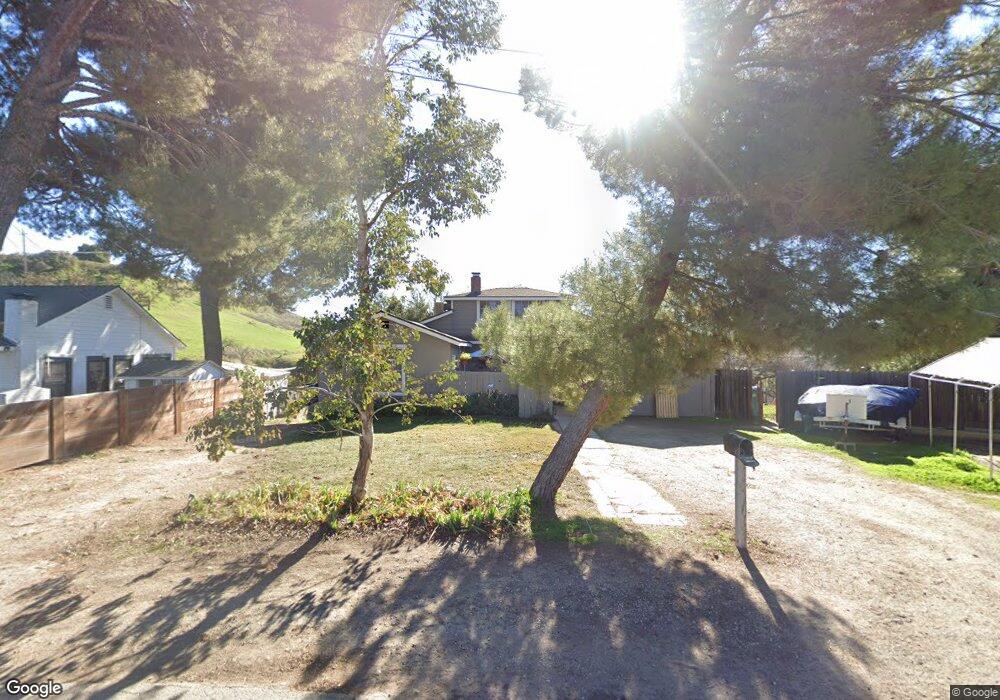
129 Capitol Hill Dr Paso Robles, CA 93446
Estimated Value: $613,000 - $842,588
4
Beds
2
Baths
2,000
Sq Ft
$368/Sq Ft
Est. Value
About This Home
This home is located at 129 Capitol Hill Dr, Paso Robles, CA 93446 and is currently estimated at $736,647, approximately $368 per square foot. 129 Capitol Hill Dr is a home located in San Luis Obispo County with nearby schools including Winifred Pifer Elementary School, Daniel Lewis Middle School, and Paso Robles High School.
Ownership History
Date
Name
Owned For
Owner Type
Purchase Details
Closed on
Oct 25, 2001
Sold by
Mann Ken and Mann Anne
Bought by
Lithwin Alan and Lithwin Kimberly
Current Estimated Value
Home Financials for this Owner
Home Financials are based on the most recent Mortgage that was taken out on this home.
Original Mortgage
$181,875
Interest Rate
6.57%
Purchase Details
Closed on
Apr 5, 1997
Sold by
Mann Ken and Mann Anne
Bought by
Easton Virginia
Purchase Details
Closed on
Dec 12, 1996
Sold by
Frey Craig A and Frey Flora Mae
Bought by
Mann Ken and Mann Anne
Create a Home Valuation Report for This Property
The Home Valuation Report is an in-depth analysis detailing your home's value as well as a comparison with similar homes in the area
Purchase History
| Date | Buyer | Sale Price | Title Company |
|---|---|---|---|
| Lithwin Alan | $187,500 | Fidelity National Title Co | |
| Easton Virginia | -- | -- | |
| Mann Ken | $55,000 | Cuesta Title Company |
Source: Public Records
Mortgage History
| Date | Status | Borrower | Loan Amount |
|---|---|---|---|
| Previous Owner | Lithwin Alan | $181,875 | |
| Closed | Lithwin Alan | $5,625 |
Source: Public Records
Tax History
| Year | Tax Paid | Tax Assessment Tax Assessment Total Assessment is a certain percentage of the fair market value that is determined by local assessors to be the total taxable value of land and additions on the property. | Land | Improvement |
|---|---|---|---|---|
| 2025 | $3,817 | $357,356 | $66,466 | $290,890 |
| 2024 | $3,753 | $350,350 | $65,163 | $285,187 |
| 2023 | $3,753 | $343,482 | $63,886 | $279,596 |
| 2022 | $3,696 | $336,748 | $62,634 | $274,114 |
| 2021 | $3,631 | $330,146 | $61,406 | $268,740 |
| 2020 | $3,581 | $326,762 | $60,777 | $265,985 |
| 2019 | $3,529 | $320,356 | $59,586 | $260,770 |
| 2018 | $3,479 | $314,075 | $58,418 | $255,657 |
| 2017 | $3,270 | $307,918 | $57,273 | $250,645 |
| 2016 | $3,205 | $301,881 | $56,150 | $245,731 |
| 2015 | $3,191 | $297,347 | $55,307 | $242,040 |
| 2014 | $3,079 | $291,523 | $54,224 | $237,299 |
Source: Public Records
Map
Nearby Homes
- 127 Capitol Hill Dr
- 125 Capitol Hill Dr
- 133 Capitol Hill Dr
- 123 Capitol Hill
- 123 Capitol Hill Dr
- 126 Capitol Hill Dr
- 121 Capitol Hill Dr Unit A & B
- 121 Capitol Hill Dr
- 122 Capitol Hill Dr
- 121 Capitol Hill
- 120 Capitol Hill Dr
- 119 Capitol Hill Dr Unit A&B
- 119 Capitol Hill Dr
- 119 Capitol Hill
- 118 Capitol Hill Dr
- 117 Capitol Hill Dr
- 122 Almond St
- 134 Almond St
- 134 Almond St
- 134 Almond St Unit 25
Your Personal Tour Guide
Ask me questions while you tour the home.