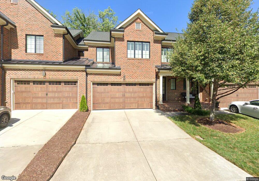
129 Cofield Cir Unit 12 Durham, NC 27707
Hope Valley NeighborhoodEstimated Value: $625,638 - $643,000
3
Beds
3
Baths
2,325
Sq Ft
$273/Sq Ft
Est. Value
About This Home
This home is located at 129 Cofield Cir Unit 12, Durham, NC 27707 and is currently estimated at $634,910, approximately $273 per square foot. 129 Cofield Cir Unit 12 is a home located in Durham County with nearby schools including Morehead Montessori, Sherwood Githens Middle, and Jordan High School.
Ownership History
Date
Name
Owned For
Owner Type
Purchase Details
Closed on
Oct 20, 2025
Sold by
Narron Randy Wayne and Brown Shari Lynn
Bought by
Sabat John and Sabat Dana W
Current Estimated Value
Home Financials for this Owner
Home Financials are based on the most recent Mortgage that was taken out on this home.
Original Mortgage
$305,000
Outstanding Balance
$305,000
Interest Rate
5.88%
Mortgage Type
New Conventional
Estimated Equity
$329,910
Purchase Details
Closed on
Jul 29, 2021
Sold by
Lowe Jared R and Emerson Robert W
Bought by
Narron Randy Wayne and Brown Shari Lynn
Home Financials for this Owner
Home Financials are based on the most recent Mortgage that was taken out on this home.
Original Mortgage
$376,000
Interest Rate
2.93%
Mortgage Type
New Conventional
Purchase Details
Closed on
Mar 22, 2018
Sold by
Sidwell Lawrence E and Sidwell Mary H
Bought by
Lowe Jared R and Emerson Robert W
Home Financials for this Owner
Home Financials are based on the most recent Mortgage that was taken out on this home.
Original Mortgage
$412,500
Interest Rate
4.4%
Mortgage Type
New Conventional
Purchase Details
Closed on
Feb 18, 2014
Sold by
Hope Valley Townhomes Llc
Bought by
Sidwell Family Living Trust
Create a Home Valuation Report for This Property
The Home Valuation Report is an in-depth analysis detailing your home's value as well as a comparison with similar homes in the area
Home Values in the Area
Average Home Value in this Area
Purchase History
| Date | Buyer | Sale Price | Title Company |
|---|---|---|---|
| Sabat John | $620,000 | None Listed On Document | |
| Narron Randy Wayne | $470,000 | None Available | |
| Lowe Jared R | $412,500 | None Available | |
| Sidwell Family Living Trust | $355,000 | None Available |
Source: Public Records
Mortgage History
| Date | Status | Borrower | Loan Amount |
|---|---|---|---|
| Open | Sabat John | $305,000 | |
| Previous Owner | Narron Randy Wayne | $376,000 | |
| Previous Owner | Lowe Jared R | $412,500 |
Source: Public Records
Tax History Compared to Growth
Tax History
| Year | Tax Paid | Tax Assessment Tax Assessment Total Assessment is a certain percentage of the fair market value that is determined by local assessors to be the total taxable value of land and additions on the property. | Land | Improvement |
|---|---|---|---|---|
| 2025 | $6,139 | $619,336 | $96,250 | $523,086 |
| 2024 | $5,373 | $385,194 | $80,000 | $305,194 |
| 2023 | $5,046 | $385,194 | $80,000 | $305,194 |
| 2022 | $4,930 | $385,194 | $80,000 | $305,194 |
| 2021 | $4,907 | $385,194 | $80,000 | $305,194 |
| 2020 | $4,791 | $385,194 | $80,000 | $305,194 |
| 2019 | $4,791 | $385,194 | $80,000 | $305,194 |
| 2018 | $4,995 | $368,249 | $80,000 | $288,249 |
| 2017 | $4,958 | $368,249 | $80,000 | $288,249 |
| 2016 | $4,791 | $368,249 | $80,000 | $288,249 |
| 2015 | $5,502 | $397,483 | $77,000 | $320,483 |
| 2014 | $5,502 | $397,483 | $77,000 | $320,483 |
Source: Public Records
Map
Nearby Homes
- 4420 Sun Valley Dr
- 5515 S Roxboro St Unit 4
- 5515 S Roxboro St Unit 3
- 3306 Meadowrun Dr
- 3511 Shady Creek Dr
- 3514 Shady Creek Dr
- 4220 Hope Valley Rd
- 3 Fieldcrest Ct
- 3816 Swarthmore Rd
- 903 Teague Place
- 4008 Livingstone Place
- 4036 Nottaway Rd
- 4030 King Charles Rd
- 2000 Cotswold Place Unit A
- 2000 Cotswold Place Unit B
- 4035 King Charles Rd
- 18 W Bridlewood Trail
- 14 W Bridlewood Trail
- 3540 Rugby Rd
- 4 Barkridge Ct
- 131 Cofield Cir
- 131 Cofield Cir Unit 11
- 127 Cofield Cir
- 133 Cofield Cir
- 125 Cofield Cir
- 123 Cofield Cir
- 128 Cofield Cir
- 130 Cofield Cir
- 3514 Meadowrun Dr
- 135 Cofield Cir
- 3516 Meadowrun Dr
- 126 Cofield Cir
- 124 Cofield Cir
- 121 Cofield Cir
- 121 Cofield Cir Unit 16
- 3512 Meadowrun Dr
- 122 Cofield Cir
- 139 Cofield Cir
- 119 Cofield Cir
- 120 Cofield Cir