129 Community Dr Southside, AR 72501
Estimated Value: $178,000 - $253,000
--
Bed
2
Baths
1,853
Sq Ft
$122/Sq Ft
Est. Value
About This Home
This home is located at 129 Community Dr, Southside, AR 72501 and is currently estimated at $225,604, approximately $121 per square foot. 129 Community Dr is a home located in Independence County with nearby schools including Southside Elementary School, Southside Middle School, and Southside Junior High School.
Ownership History
Date
Name
Owned For
Owner Type
Purchase Details
Closed on
Dec 10, 2022
Sold by
Griffis James A
Bought by
Griffis James A and Griffis Regenia P
Current Estimated Value
Home Financials for this Owner
Home Financials are based on the most recent Mortgage that was taken out on this home.
Original Mortgage
$293,850
Outstanding Balance
$293,575
Interest Rate
7.24%
Mortgage Type
Credit Line Revolving
Estimated Equity
-$67,971
Purchase Details
Closed on
Jul 25, 2008
Sold by
Not Provided
Bought by
Griffis James
Purchase Details
Closed on
Aug 5, 1997
Sold by
Not Provided
Bought by
Caradine Virginia
Create a Home Valuation Report for This Property
The Home Valuation Report is an in-depth analysis detailing your home's value as well as a comparison with similar homes in the area
Home Values in the Area
Average Home Value in this Area
Purchase History
| Date | Buyer | Sale Price | Title Company |
|---|---|---|---|
| Griffis James A | -- | -- | |
| Griffis James | -- | -- | |
| Caradine Virginia | -- | -- |
Source: Public Records
Mortgage History
| Date | Status | Borrower | Loan Amount |
|---|---|---|---|
| Open | Griffis James A | $293,850 | |
| Closed | Griffis James A | $293,850 |
Source: Public Records
Tax History Compared to Growth
Tax History
| Year | Tax Paid | Tax Assessment Tax Assessment Total Assessment is a certain percentage of the fair market value that is determined by local assessors to be the total taxable value of land and additions on the property. | Land | Improvement |
|---|---|---|---|---|
| 2024 | $1,087 | $32,040 | $5,250 | $26,790 |
| 2023 | $1,162 | $32,040 | $5,250 | $26,790 |
| 2022 | $1,212 | $32,040 | $5,250 | $26,790 |
| 2021 | $1,212 | $32,040 | $5,250 | $26,790 |
| 2020 | $1,075 | $32,040 | $5,250 | $26,790 |
| 2019 | $1,011 | $30,360 | $5,250 | $25,110 |
| 2018 | $1,036 | $30,360 | $5,250 | $25,110 |
| 2017 | $1,036 | $30,360 | $5,250 | $25,110 |
Source: Public Records
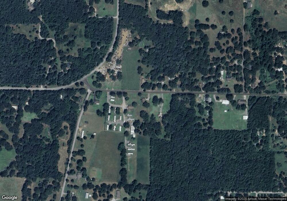
Map
Nearby Homes
- 1315 Batesville Blvd
- 1583 Batesville Blvd
- 301 McHue Rd
- 416 Pepsi Cola Rd
- 405 Lumpkin Dr
- 70 England Dr
- 60 Boulder Dr
- 105 Chamblee Dr
- 90 Dennison Heights
- 20 Estes Way
- 22 Estes Way
- 23 Estes Way
- 0 Triangle Ln Unit 19-351
- 2 Triangle Ln
- 825, 909 Heber Springs Rd
- 37 Chamblee Cir
- 0 Riverview Rd Unit 25017568
- 0 Riverview Rd Unit 25-259
- 468 Park Rd
- 219 E Mcclendon St
- 15 Pierce Ln
- 126 Community Dr
- 135 Community Dr
- 40 Pierce Ln
- 43 Pierce Ln
- 145 Community Dr
- 150 Community Dr
- 154 Community Dr
- 155 Community Dr
- 100 Community Dr
- 18 Double 200 1o9erh426jp1
- 171 Community Dr
- 19 Double Rd
- 174 Community Dr
- 25 Double Rd
- 99 Pierce Ln
- 60 Community Dr
- 75 Community Dr
- 183 Community Dr
- 29 Double Rd