129 Cox Dr Dahlonega, GA 30533
Estimated Value: $115,000 - $231,000
--
Bed
1
Bath
1,056
Sq Ft
$168/Sq Ft
Est. Value
About This Home
This home is located at 129 Cox Dr, Dahlonega, GA 30533 and is currently estimated at $177,506, approximately $168 per square foot. 129 Cox Dr is a home located in Lumpkin County with nearby schools including Lumpkin County High School.
Ownership History
Date
Name
Owned For
Owner Type
Purchase Details
Closed on
Oct 17, 2018
Sold by
Holland Elizabeth
Bought by
Cox Bonnell N
Current Estimated Value
Purchase Details
Closed on
Apr 25, 2018
Sold by
Cox Bonnell
Bought by
Christy Phyllis and Hardegree Donna
Purchase Details
Closed on
Jul 27, 2010
Sold by
Hester Janice
Bought by
Cox Bonnell N
Purchase Details
Closed on
Dec 17, 2006
Sold by
Not Provided
Bought by
Cox Bonnell N
Purchase Details
Closed on
Aug 1, 1976
Sold by
Cox Garnett G
Bought by
Cox Garnett G
Purchase Details
Closed on
Jun 21, 1976
Bought by
Cox Garnett G
Create a Home Valuation Report for This Property
The Home Valuation Report is an in-depth analysis detailing your home's value as well as a comparison with similar homes in the area
Home Values in the Area
Average Home Value in this Area
Purchase History
| Date | Buyer | Sale Price | Title Company |
|---|---|---|---|
| Cox Bonnell N | -- | -- | |
| Christy Phyllis | $60,129 | -- | |
| Cox Bonnell N | -- | -- | |
| Cox Bonnell N | -- | -- | |
| Cox Garnett G | -- | -- | |
| Cox Garnett G | -- | -- |
Source: Public Records
Tax History Compared to Growth
Tax History
| Year | Tax Paid | Tax Assessment Tax Assessment Total Assessment is a certain percentage of the fair market value that is determined by local assessors to be the total taxable value of land and additions on the property. | Land | Improvement |
|---|---|---|---|---|
| 2024 | $808 | $34,345 | $16,594 | $17,751 |
| 2023 | $777 | $33,052 | $16,594 | $16,458 |
| 2022 | $726 | $29,332 | $13,831 | $15,501 |
| 2021 | $755 | $26,596 | $13,831 | $12,765 |
| 2020 | $727 | $25,616 | $13,252 | $12,364 |
| 2019 | $640 | $25,616 | $13,252 | $12,364 |
| 2018 | $687 | $24,228 | $13,252 | $10,976 |
| 2017 | $729 | $24,372 | $13,252 | $11,120 |
| 2016 | $640 | $22,848 | $13,252 | $9,596 |
| 2015 | -- | $22,848 | $13,252 | $9,596 |
| 2014 | -- | $23,204 | $13,252 | $9,952 |
| 2013 | -- | $0 | $0 | $0 |
Source: Public Records
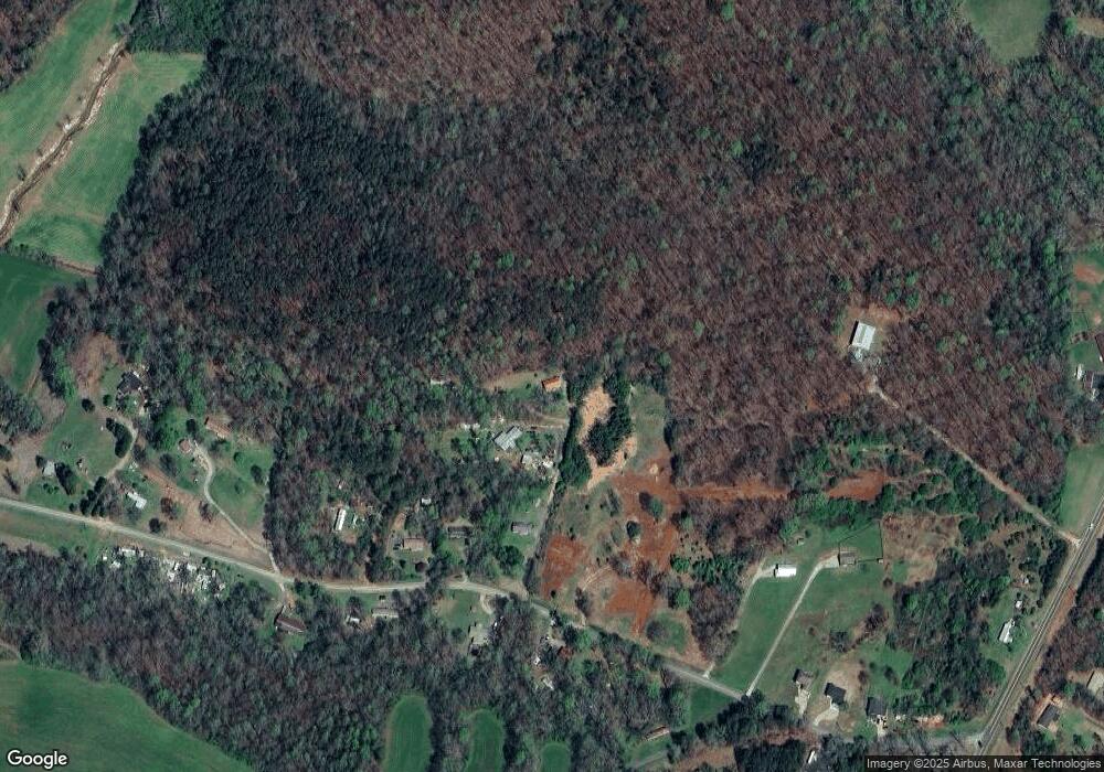
Map
Nearby Homes
- 1433 Mount Olive Church Rd
- 1405 Mount Olive Church Rd
- 1320 Claude Parks Rd
- 118 Pine Corner Dr
- 119 Pine Corner Dr
- 112 Pine Corner Dr
- 219 John Garner Rd
- 136 Ladyslipper Ln
- 6518 Payne Rd
- 151 Norris Rd
- 0 Myrtle Dr Unit 10607430
- 0 Myrtle Dr Unit 7650061
- 8641 Highway 52 E
- 238 Sunrise Trail
- 12 Katydid Ln
- 94 King Arthur Ct
- 100 Rocky Branch Dr
- 500 Chapman Ridge Ln
- 95 Imperial Dr
- 1363 Mount Olive Church Rd
- 37 Cox Dr
- 43 Imperial Dr
- 45 Pebblebrook Dr
- 1432 Mount Olive Church Rd
- 1208 Mount Olive Church Rd
- 1159 Mount Olive Church Rd
- 0 Pebblebrook Dr Unit 8028846
- 0 Pebblebrook Dr
- 1513 Mount Olive Church Rd
- 56 Parks Dr
- 1135 Mount Olive Church Rd
- 57 Parks Dr
- 1525 Mount Olive Church Rd Unit 3
- 1525 Mount Olive Church Rd
- 125 Parks Dr
- 1571 Mount Olive Church Rd
- 256 Parks Dr
- 183 Parks Dr