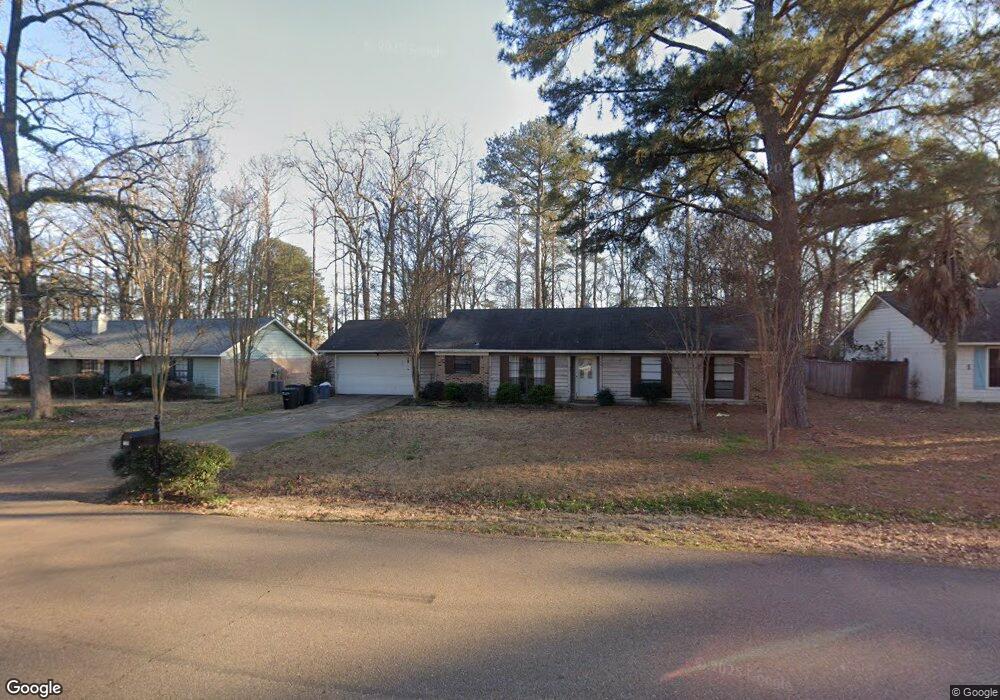
129 Cumberland Rd Brandon, MS 39047
Estimated Value: $199,000 - $210,000
3
Beds
2
Baths
1,369
Sq Ft
$151/Sq Ft
Est. Value
About This Home
This home is located at 129 Cumberland Rd, Brandon, MS 39047 and is currently estimated at $206,600, approximately $150 per square foot. 129 Cumberland Rd is a home located in Rankin County with nearby schools including Highland Bluff Elementary School, Northwest Rankin Middle School, and Northwest Rankin High School.
Ownership History
Date
Name
Owned For
Owner Type
Purchase Details
Closed on
Feb 5, 2018
Bought by
Russell Melanie
Current Estimated Value
Home Financials for this Owner
Home Financials are based on the most recent Mortgage that was taken out on this home.
Original Mortgage
$160,606
Outstanding Balance
$135,254
Interest Rate
4.22%
Estimated Equity
$71,346
Purchase Details
Closed on
Sep 30, 2014
Sold by
Moss David and Moss Cassandra
Bought by
Shook Kathryn G
Purchase Details
Closed on
Jul 16, 2007
Sold by
Steele Roland and Steele Jana Hope
Bought by
Moss David and Moss Cassandra
Home Financials for this Owner
Home Financials are based on the most recent Mortgage that was taken out on this home.
Original Mortgage
$126,000
Interest Rate
6.56%
Create a Home Valuation Report for This Property
The Home Valuation Report is an in-depth analysis detailing your home's value as well as a comparison with similar homes in the area
Purchase History
| Date | Buyer | Sale Price | Title Company |
|---|---|---|---|
| Russell Melanie | -- | -- | |
| Shook Kathryn G | -- | -- | |
| Moss David | -- | -- |
Source: Public Records
Mortgage History
| Date | Status | Borrower | Loan Amount |
|---|---|---|---|
| Open | Russell Melanie | $160,606 | |
| Closed | Russell Melanie | -- | |
| Previous Owner | Russell Melanie | $126,000 |
Source: Public Records
Tax History
| Year | Tax Paid | Tax Assessment Tax Assessment Total Assessment is a certain percentage of the fair market value that is determined by local assessors to be the total taxable value of land and additions on the property. | Land | Improvement |
|---|---|---|---|---|
| 2025 | $1,765 | $15,543 | $0 | $0 |
| 2024 | $1,674 | $15,543 | $0 | $0 |
| 2023 | $1,422 | $13,203 | $0 | $0 |
| 2022 | $1,402 | $13,203 | $0 | $0 |
| 2021 | $1,402 | $13,203 | $0 | $0 |
| 2020 | $1,402 | $13,203 | $0 | $0 |
| 2019 | $1,299 | $11,921 | $0 | $0 |
| 2018 | $1,275 | $11,921 | $0 | $0 |
| 2017 | $1,275 | $11,921 | $0 | $0 |
| 2016 | $1,246 | $12,218 | $0 | $0 |
| 2015 | $1,246 | $12,218 | $0 | $0 |
| 2014 | $1,220 | $12,218 | $0 | $0 |
| 2013 | -- | $12,218 | $0 | $0 |
Source: Public Records
Map
Nearby Homes
- 131 Cumberland Rd
- 117 Cumberland Rd
- 600 Bauxite Cove
- 154 Cumberland Rd
- 173b Cumberland Rd
- 601 Emerald Ct
- 735 Cotton Creek Trail
- 613 Emerald Ct
- 125 Emerald Dr
- 14 Brandy Ct S
- 151 Amethyst Dr
- 118 Fairfax Cir Unit B
- 118 Fairfax Cir Unit A
- 307 Emerald Way
- 111 Fairfax Cir Unit a
- 111 B N Bent Creek Cir
- 201 Greenfield Place
- 109 Brandy Run Rd
- 191 Bellegrove Cir
- 324 Millcreek Dr
- 127 Cumberland Rd
- 126 Cumberland Rd
- 133 Cumberland Rd
- 125 Cumberland Rd
- 130 Cumberland Rd
- 102 Cumberland Ct
- 132 Cumberland Rd
- 132 Cumberland Rd
- 135 Cumberland Rd
- 123 Cumberland Rd
- 103 Cumberland Ct Unit A
- 124 Cumberland Rd
- 6450 Manship Rd
- 134 Cumberland Rd
- 121 Cumberland Rd
- 137 Cumberland Rd
- 122 Cumberland Rd
- 408 Shenadoah Rd
- 104 Cumberland Ct
- 6442 Manship Rd
Your Personal Tour Guide
Ask me questions while you tour the home.