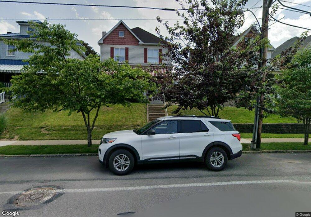
129 Custer Ave Vandergrift, PA 15690
Estimated Value: $97,000 - $140,000
Studio
--
Bath
--
Sq Ft
4,617
Sq Ft
About This Home
This home is located at 129 Custer Ave, Vandergrift, PA 15690 and is currently estimated at $115,761. 129 Custer Ave is a home located in Westmoreland County with nearby schools including Kiski Area High School.
Ownership History
Date
Name
Owned For
Owner Type
Purchase Details
Closed on
Sep 21, 2022
Sold by
Pietron David J
Bought by
Pietron David J and Pietron Rebecca A
Current Estimated Value
Purchase Details
Closed on
May 30, 2006
Sold by
Kester Helen M
Bought by
Pietron David J and Arlof Rebecca A
Home Financials for this Owner
Home Financials are based on the most recent Mortgage that was taken out on this home.
Original Mortgage
$74,312
Interest Rate
6.62%
Mortgage Type
FHA
Create a Home Valuation Report for This Property
The Home Valuation Report is an in-depth analysis detailing your home's value as well as a comparison with similar homes in the area
Home Values in the Area
Average Home Value in this Area
Purchase History
| Date | Buyer | Sale Price | Title Company |
|---|---|---|---|
| Pietron David J | -- | -- | |
| Pietron David J | $74,900 | None Available |
Source: Public Records
Mortgage History
| Date | Status | Borrower | Loan Amount |
|---|---|---|---|
| Previous Owner | Pietron David J | $74,312 |
Source: Public Records
Tax History
| Year | Tax Paid | Tax Assessment Tax Assessment Total Assessment is a certain percentage of the fair market value that is determined by local assessors to be the total taxable value of land and additions on the property. | Land | Improvement |
|---|---|---|---|---|
| 2026 | $1,708 | $10,210 | $2,580 | $7,630 |
| 2025 | $1,666 | $10,210 | $2,580 | $7,630 |
| 2024 | $1,587 | $10,210 | $2,580 | $7,630 |
| 2023 | $1,461 | $10,210 | $2,580 | $7,630 |
| 2022 | $1,430 | $10,210 | $2,580 | $7,630 |
| 2021 | $1,430 | $10,210 | $2,580 | $7,630 |
| 2020 | $1,427 | $10,210 | $2,580 | $7,630 |
| 2019 | $1,422 | $10,210 | $2,580 | $7,630 |
| 2018 | $1,401 | $10,210 | $2,580 | $7,630 |
| 2017 | $1,371 | $10,210 | $2,580 | $7,630 |
| 2016 | $1,352 | $10,210 | $2,580 | $7,630 |
| 2015 | $1,352 | $10,210 | $2,580 | $7,630 |
| 2014 | $1,346 | $10,210 | $2,580 | $7,630 |
Source: Public Records
Map
Nearby Homes
- 109 E Adams Ave
- 109 Washington Ave
- 322 Chestnut St
- 311 Elm St
- 166 Grant Ave
- 112 Farragut Ave Unit 3
- 324 Beech St
- 419 Vandergrift Ln
- 510 Franklin Ave
- 133 Sherman Ave
- 137 Sherman Ave
- 219 Quay St
- 325 Walnut St
- 250 Kennedy Ave
- 225 Mckinley Ave
- 608 Kennedy Ave
- 517 Sycamore St
- 300 Longfellow St
- 1252 Jefferson St
- 410 Longfellow St
- 127 Custer Ave
- 131 Custer Ave
- 125 Custer Ave
- 133 Custer Ave
- 123 Custer Ave
- 106 W Adams Ave
- 108 W Adams Ave
- 204 Hancock Ave
- 102 W Adams Ave
- 104 W Adams Ave
- 137 Custer Ave
- 124 Custer Ave
- 206 Hancock Ave
- 200 Hancock Ave Unit 202
- 122 Custer Ave
- 112 W Adams Ave
- 208 Hancock Ave
- 139 Custer Ave
- 120 Custer Ave
- 114 W Adams Ave
Your Personal Tour Guide
Ask me questions while you tour the home.