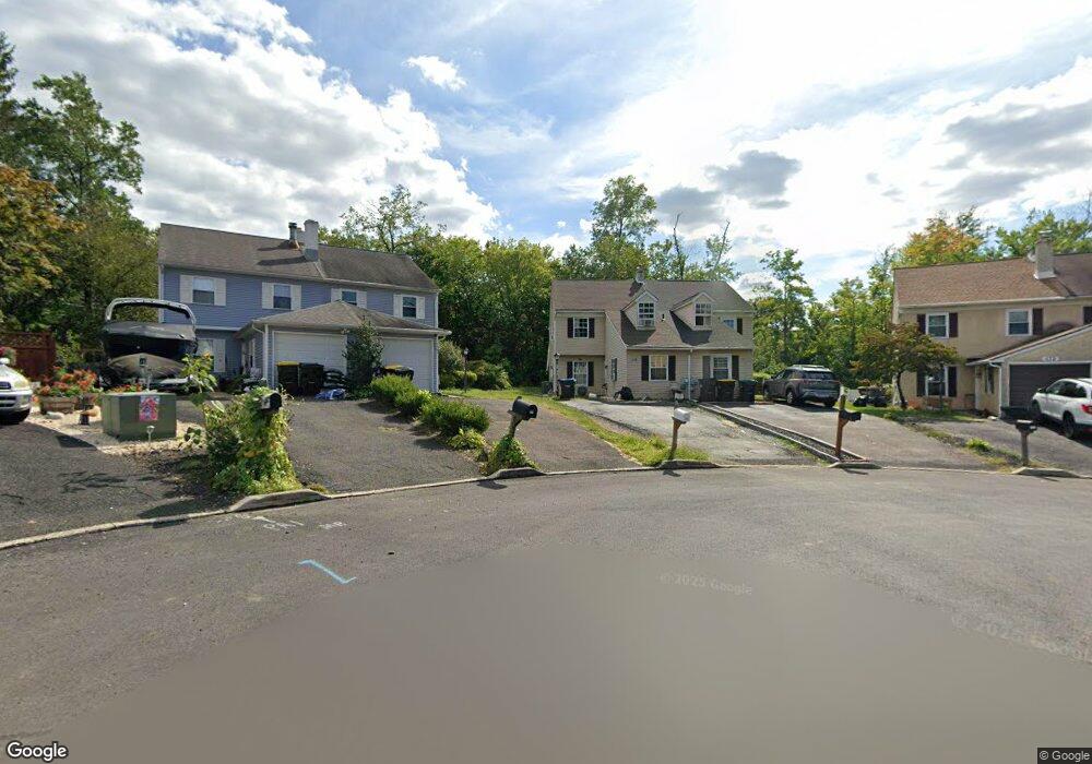
129 Deerpath Dr Lansdale, PA 19446
Estimated Value: $105,000 - $218,000
4
Beds
3
Baths
1,636
Sq Ft
$108/Sq Ft
Est. Value
About This Home
This home is located at 129 Deerpath Dr, Lansdale, PA 19446 and is currently estimated at $176,519, approximately $107 per square foot. 129 Deerpath Dr is a home located in Montgomery County with nearby schools including Bridle Path Elementary School, Penndale Middle School, and North Penn Senior High School.
Ownership History
Date
Name
Owned For
Owner Type
Purchase Details
Closed on
Nov 12, 2024
Sold by
Rosario Alma R Cruz
Bought by
129 Dp Llc
Current Estimated Value
Home Financials for this Owner
Home Financials are based on the most recent Mortgage that was taken out on this home.
Original Mortgage
$236,250
Outstanding Balance
$234,078
Interest Rate
6.54%
Mortgage Type
New Conventional
Estimated Equity
-$57,559
Purchase Details
Closed on
May 15, 1979
Bought by
Leicht Carol C
Create a Home Valuation Report for This Property
The Home Valuation Report is an in-depth analysis detailing your home's value as well as a comparison with similar homes in the area
Home Values in the Area
Average Home Value in this Area
Purchase History
| Date | Buyer | Sale Price | Title Company |
|---|---|---|---|
| 129 Dp Llc | $100,000 | North Penn Abstract | |
| Leicht Carol C | $52,600 | -- |
Source: Public Records
Mortgage History
| Date | Status | Borrower | Loan Amount |
|---|---|---|---|
| Open | 129 Dp Llc | $236,250 |
Source: Public Records
Tax History Compared to Growth
Tax History
| Year | Tax Paid | Tax Assessment Tax Assessment Total Assessment is a certain percentage of the fair market value that is determined by local assessors to be the total taxable value of land and additions on the property. | Land | Improvement |
|---|---|---|---|---|
| 2025 | $4,189 | $112,270 | $41,590 | $70,680 |
| 2024 | $4,189 | $112,270 | $41,590 | $70,680 |
| 2023 | $3,996 | $112,270 | $41,590 | $70,680 |
| 2022 | $3,855 | $112,270 | $41,590 | $70,680 |
| 2021 | $3,625 | $112,270 | $41,590 | $70,680 |
| 2020 | $3,529 | $112,270 | $41,590 | $70,680 |
| 2019 | $3,463 | $112,270 | $41,590 | $70,680 |
| 2018 | $555 | $112,270 | $41,590 | $70,680 |
| 2017 | $3,315 | $112,270 | $41,590 | $70,680 |
| 2016 | $3,271 | $112,270 | $41,590 | $70,680 |
| 2015 | $3,124 | $112,270 | $41,590 | $70,680 |
| 2014 | $3,124 | $112,270 | $41,590 | $70,680 |
Source: Public Records
Map
Nearby Homes
- 134 Briarwood Ln
- 583 Bethlehem Pike
- 4 Mele Ave
- 206 Broad Acres Rd
- 6 Lantern Ln
- 100 Victoria Dr
- 000 Lenape Dr
- 219 Pinecrest Ln
- 0002 Sydney Ln
- 2546 N Broad St
- 110 Country Club Dr
- 405 Country Club Dr
- 21 Meadow Glen Rd
- 2111 Hidden Meadow Dr
- 421 Cowpath Rd
- 104 Pinecrest Ln
- 1823 N Line St
- 2244 Lenhart Rd
- 534 Airy Ave
- 107 David Ln