129 Dragonfly Dr Titusville, FL 32780
Estimated Value: $445,508 - $543,000
2
Beds
2
Baths
1,252
Sq Ft
$386/Sq Ft
Est. Value
About This Home
This home is located at 129 Dragonfly Dr, Titusville, FL 32780 and is currently estimated at $482,877, approximately $385 per square foot. 129 Dragonfly Dr is a home located in Brevard County with nearby schools including Imperial Estates Elementary School, Titusville High School, and Andrew Jackson Middle School.
Ownership History
Date
Name
Owned For
Owner Type
Purchase Details
Closed on
Aug 8, 2018
Sold by
Lapio William F and Landry Nancy M
Bought by
Bresnahan Jason W and Lapio Family Irrevocable Trust
Current Estimated Value
Purchase Details
Closed on
Dec 19, 2013
Sold by
Aaron Michael D and Aaron Lisa J
Bought by
Lapio William F
Purchase Details
Closed on
Apr 16, 2007
Sold by
August Robert E and August Nancy A
Bought by
Aaron Michael D and Aaron Lisa J
Home Financials for this Owner
Home Financials are based on the most recent Mortgage that was taken out on this home.
Original Mortgage
$287,920
Interest Rate
6.1%
Mortgage Type
Purchase Money Mortgage
Purchase Details
Closed on
Aug 25, 2003
Sold by
T G O Partners Llc
Bought by
August Robert E and August Nancy A
Create a Home Valuation Report for This Property
The Home Valuation Report is an in-depth analysis detailing your home's value as well as a comparison with similar homes in the area
Home Values in the Area
Average Home Value in this Area
Purchase History
| Date | Buyer | Sale Price | Title Company |
|---|---|---|---|
| Bresnahan Jason W | -- | Attorney | |
| Lapio William F | -- | Attorney | |
| Lapio William F | $275,000 | Fidelity Natl Title Fl Inc | |
| Aaron Michael D | $359,900 | Fidelity Natl Title Ins Co | |
| August Robert E | $50,400 | -- |
Source: Public Records
Mortgage History
| Date | Status | Borrower | Loan Amount |
|---|---|---|---|
| Previous Owner | Aaron Michael D | $287,920 |
Source: Public Records
Tax History Compared to Growth
Tax History
| Year | Tax Paid | Tax Assessment Tax Assessment Total Assessment is a certain percentage of the fair market value that is determined by local assessors to be the total taxable value of land and additions on the property. | Land | Improvement |
|---|---|---|---|---|
| 2025 | $5,463 | $358,120 | -- | -- |
| 2024 | $5,034 | $398,040 | -- | -- |
| 2023 | $5,034 | $348,870 | $99,000 | $249,870 |
| 2022 | $4,695 | $352,740 | $0 | $0 |
| 2021 | $4,480 | $289,800 | $78,000 | $211,800 |
| 2020 | $4,575 | $292,180 | $78,000 | $214,180 |
| 2019 | $4,489 | $279,950 | $78,000 | $201,950 |
| 2018 | $4,350 | $263,080 | $68,000 | $195,080 |
| 2017 | $4,349 | $259,450 | $68,000 | $191,450 |
| 2016 | $4,256 | $251,760 | $68,000 | $183,760 |
| 2015 | $3,925 | $204,570 | $50,000 | $154,570 |
| 2014 | $3,589 | $185,980 | $40,000 | $145,980 |
Source: Public Records
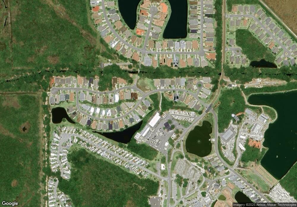
Map
Nearby Homes
- 13 Sunset Dr Unit 13
- 217 Harmony Ln
- 115 Bowfin Ct
- 22 Sunset Dr Unit 22
- 6 Sunset Dr
- 40 Sunset Dr Unit 40
- 161 Harmony Ln Unit 161
- 50 Sunset Dr Unit 50
- 252 Harmony Ln Unit 252
- 65 Sunset Dr
- 137 Harmony Ln
- 270 Harmony Ln Unit 270
- 95 Sunset Dr
- 163 Greenwing Trail Unit 163
- 148 Greenwing Trail Unit 148
- 152 Plantation Dr
- 840 Plantation Dr
- 181 Greenwing Trail Unit 181
- 177 Plantation Dr
- 437 Harmony Ln Unit 437
- 133 Dragonfly Dr Unit 133
- 125 Dragonfly Dr
- 137 Dragonfly Dr
- 137 Dragonfly Dr Unit 137
- 136 Dragonfly Dr Unit 136
- 201 Addison Way Unit 201
- 139 Dragonfly Dr Unit 139
- 140 Dragonfly Dr Unit 140
- 205 Addison Way Unit 205
- 143 Dragonfly Dr
- 144 Dragonfly Dr
- 209 Addison Way
- 147 Dragonfly Dr Unit 147
- 121 Dragonfly Dr Unit 121
- 122 Dragonfly Dr Unit 122
- 213 Addison Way
- 120 Dragonfly Dr
- 150 Dragonfly Dr Unit 50
- 151 Dragonfly Dr Unit 151
- 117 Dragonfly Dr