129 E Fork Rd Lower Salem, OH 45745
Estimated Value: $86,635 - $303,000
2
Beds
2
Baths
2,288
Sq Ft
$90/Sq Ft
Est. Value
About This Home
This home is located at 129 E Fork Rd, Lower Salem, OH 45745 and is currently estimated at $205,878, approximately $89 per square foot. 129 E Fork Rd is a home with nearby schools including Fort Frye High School.
Ownership History
Date
Name
Owned For
Owner Type
Purchase Details
Closed on
Oct 5, 2017
Sold by
Erb James M
Bought by
Erb James M and The James M Erb Revocable Living Trust
Current Estimated Value
Purchase Details
Closed on
Aug 11, 1995
Bought by
Erb James M
Purchase Details
Closed on
Sep 17, 1986
Create a Home Valuation Report for This Property
The Home Valuation Report is an in-depth analysis detailing your home's value as well as a comparison with similar homes in the area
Purchase History
| Date | Buyer | Sale Price | Title Company |
|---|---|---|---|
| Erb James M | -- | Attorney | |
| Erb James M | -- | -- | |
| Erb James M | -- | -- | |
| -- | -- | -- | |
| -- | -- | -- |
Source: Public Records
Tax History
| Year | Tax Paid | Tax Assessment Tax Assessment Total Assessment is a certain percentage of the fair market value that is determined by local assessors to be the total taxable value of land and additions on the property. | Land | Improvement |
|---|---|---|---|---|
| 2024 | $718 | $19,100 | $5,950 | $13,150 |
| 2023 | $600 | $19,100 | $5,950 | $13,150 |
| 2022 | $574 | $19,100 | $5,950 | $13,150 |
| 2021 | $448 | $14,420 | $4,490 | $9,930 |
| 2020 | $448 | $14,420 | $4,490 | $9,930 |
| 2019 | $448 | $13,430 | $3,500 | $9,930 |
| 2018 | $446 | $13,320 | $3,390 | $9,930 |
| 2017 | $433 | $12,890 | $2,960 | $9,930 |
| 2016 | $810 | $12,890 | $2,960 | $9,930 |
| 2015 | $521 | $14,870 | $3,030 | $11,840 |
| 2014 | $929 | $14,870 | $3,030 | $11,840 |
| 2013 | $519 | $14,870 | $3,030 | $11,840 |
Source: Public Records
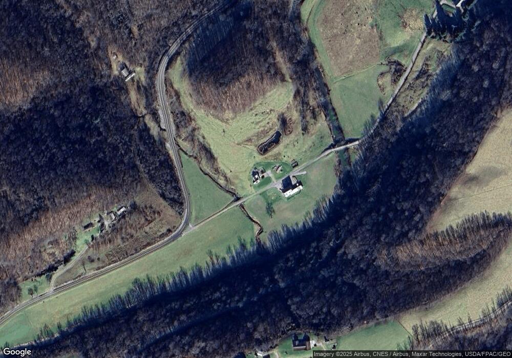
Map
Nearby Homes
- 0 Tract 15 Peaker Run Rd
- 0 Tract 15 Peaker Run Rd
- 0 Township Highway 272
- 0 Highland Ridge Rd
- 9050 Dalzell Rd
- 34799 Paw Rd
- 3275 Highland Ridge Rd
- 360 E Henniger Rd
- 0 Sheepskin Ridge Rd
- 0 County Road 46
- 38700 Sheepskin Ridge Rd
- 36863 Township Road 10
- 8292 State Route 60
- 0 State Route 530 Unit Lowell OH 45744
- 0 Ohio 530
- Lot 3 Moss Run Rd
- Lot 4 Moss Run Rd
- 310 5th St
- 0 Jefferly Rd Unit 24191708
- 116 Main St
- 335 Stille Rd
- 392 E Fork Rd
- 150 Stille Rd
- 30 Wetzler Rd
- 1205 State Route 145 Rd
- 454 Wetzler Rd
- 1281 E Fork Rd
- 625 State Route 145 Rd
- 1290 E Fork Rd
- 1100 E Fork Rd
- 347 Main St
- 347 Main St
- 325 Wetzler Rd
- 180 Baker Ridge Rd
- 343 Main St
- 33 Pontius Rd
- 370 Peaker Run Rd
- 341 Main St
- 3025 Stille Rd
- 2465 State Route 145 Rd
Your Personal Tour Guide
Ask me questions while you tour the home.