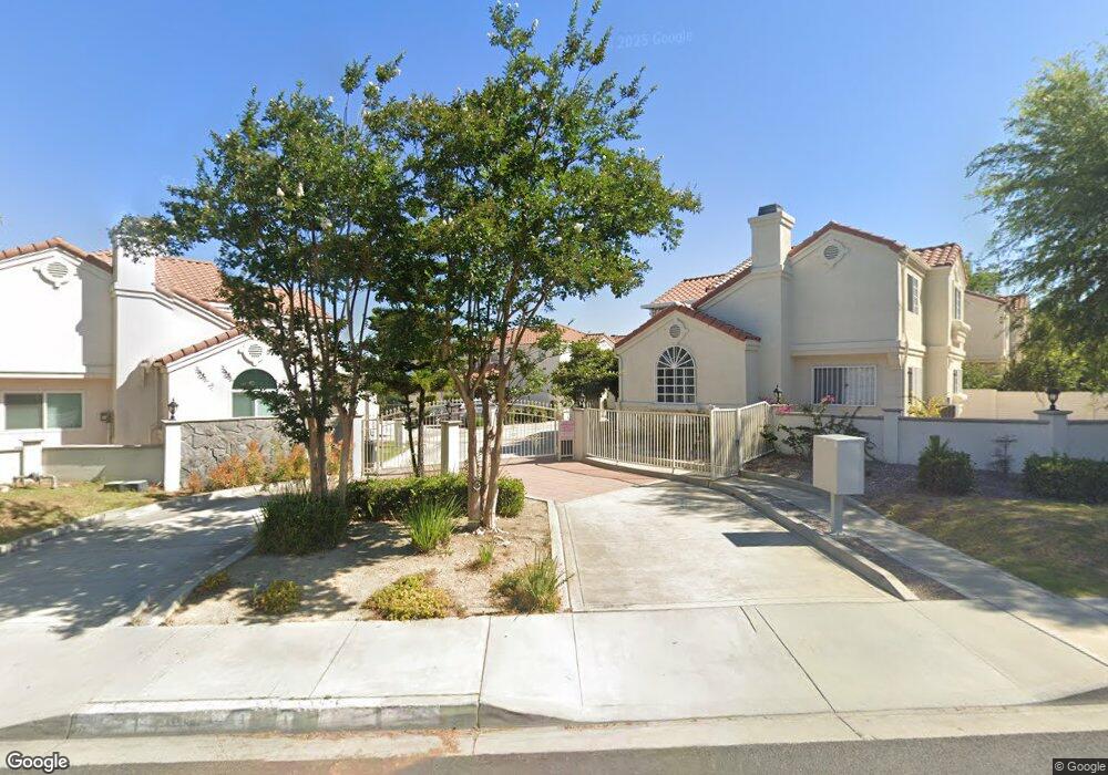
129 E Graves Ave Monterey Park, CA 91755
Estimated Value: $812,532 - $1,074,000
4
Beds
3
Baths
1,870
Sq Ft
$519/Sq Ft
Est. Value
About This Home
This home is located at 129 E Graves Ave, Monterey Park, CA 91755 and is currently estimated at $969,883, approximately $518 per square foot. 129 E Graves Ave is a home located in Los Angeles County with nearby schools including Ynez Elementary School, Mark Keppel High School, and St. Stephen Martyr School.
Ownership History
Date
Name
Owned For
Owner Type
Purchase Details
Closed on
Oct 2, 2024
Sold by
Chen Cheng Angela and Chen Angela Angela
Bought by
Cheng Michael Weitsun Hiyo
Current Estimated Value
Purchase Details
Closed on
Jan 18, 2002
Sold by
Wong Chung Shek and Poon Wai Chong
Bought by
Cheng Michael W H
Home Financials for this Owner
Home Financials are based on the most recent Mortgage that was taken out on this home.
Original Mortgage
$260,000
Interest Rate
7.15%
Create a Home Valuation Report for This Property
The Home Valuation Report is an in-depth analysis detailing your home's value as well as a comparison with similar homes in the area
Home Values in the Area
Average Home Value in this Area
Purchase History
| Date | Buyer | Sale Price | Title Company |
|---|---|---|---|
| Cheng Michael Weitsun Hiyo | -- | None Listed On Document | |
| Cheng Michael W H | -- | Southland Title |
Source: Public Records
Mortgage History
| Date | Status | Borrower | Loan Amount |
|---|---|---|---|
| Previous Owner | Cheng Michael W H | $260,000 |
Source: Public Records
Tax History
| Year | Tax Paid | Tax Assessment Tax Assessment Total Assessment is a certain percentage of the fair market value that is determined by local assessors to be the total taxable value of land and additions on the property. | Land | Improvement |
|---|---|---|---|---|
| 2025 | $6,375 | $480,100 | $193,959 | $286,141 |
| 2024 | $6,375 | $470,687 | $190,156 | $280,531 |
| 2023 | $6,246 | $461,459 | $186,428 | $275,031 |
| 2022 | $5,931 | $452,412 | $182,773 | $269,639 |
| 2021 | $5,854 | $443,542 | $179,190 | $264,352 |
| 2019 | $5,647 | $430,388 | $173,876 | $256,512 |
| 2018 | $5,610 | $421,950 | $170,467 | $251,483 |
| 2016 | $5,181 | $405,567 | $163,849 | $241,718 |
| 2015 | $5,100 | $399,476 | $161,388 | $238,088 |
| 2014 | $5,030 | $391,652 | $158,227 | $233,425 |
Source: Public Records
Map
Nearby Homes
- 500 S Garfield Ave
- 438 S Garfield Ave
- 411 S Garfield Ave
- 421 S Garfield Ave Unit 79
- 421 S Garfield Ave Unit 7
- 617 S Bradshawe Ave
- 748 S Garfield Ave
- 418 S Lincoln Ave
- 701 S Garfield Ave
- 325 Russell Ave
- 894 S Garfield Ave
- 346 E Graves Ave
- 521 S Alhambra Ave
- 127 S Ramona Ave Unit B
- 219 S Nicholson Ave
- 607 Sefton Ave
- 273 Starbird Dr
- 503 Sefton Ave Unit C
- 126 N Mcpherrin Ave
- 442 S Sefton Ave
- 127 E Graves Ave Unit D
- 125 E Graves Ave
- 123 E Graves Ave
- 131 E Graves Ave Unit C
- 121 E Graves Ave
- 119 E Graves Ave
- 522 S Garfield Ave
- 526 S Garfield Ave
- 518 S Garfield Ave
- 530 S Garfield Ave
- 136 E Graves Ave
- 600 Craighurst Terrace
- 601 Cecil St
- 107 E Graves Ave
- 615 Cecil St
- 601 Craighurst Terrace
- 614 Craighurst Terrace
- 534 Lamont Dr
- 533 Lamont Dr
- 629 Cecil St
Your Personal Tour Guide
Ask me questions while you tour the home.