Estimated Value: $584,053 - $657,000
3
Beds
2
Baths
2,014
Sq Ft
$312/Sq Ft
Est. Value
About This Home
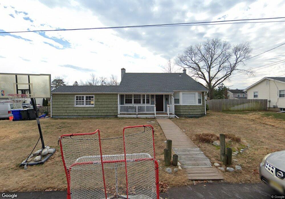
This home is located at 129 Forest Rd, Brick, NJ 08724 and is currently estimated at $628,763, approximately $312 per square foot. 129 Forest Rd is a home located in Ocean County with nearby schools including Midstreams Elementary School, Veterans Memorial Middle School, and Brick Township Memorial High School.
Ownership History
Date
Name
Owned For
Owner Type
Purchase Details
Closed on
Nov 14, 2003
Sold by
Meyer Cheryl
Bought by
Meyer Doulgas E and Meyer Cheryl
Current Estimated Value
Home Financials for this Owner
Home Financials are based on the most recent Mortgage that was taken out on this home.
Original Mortgage
$196,000
Outstanding Balance
$90,234
Interest Rate
5.9%
Estimated Equity
$538,529
Purchase Details
Closed on
Jul 17, 2000
Sold by
Caverly Luke
Bought by
Vanderveer Cheryl and Vanderveer John
Home Financials for this Owner
Home Financials are based on the most recent Mortgage that was taken out on this home.
Original Mortgage
$173,825
Interest Rate
8.13%
Mortgage Type
FHA
Create a Home Valuation Report for This Property
The Home Valuation Report is an in-depth analysis detailing your home's value as well as a comparison with similar homes in the area
Home Values in the Area
Average Home Value in this Area
Purchase History
| Date | Buyer | Sale Price | Title Company |
|---|---|---|---|
| Meyer Doulgas E | -- | -- | |
| Vanderveer Cheryl | $178,000 | -- |
Source: Public Records
Mortgage History
| Date | Status | Borrower | Loan Amount |
|---|---|---|---|
| Open | Meyer Doulgas E | $196,000 | |
| Previous Owner | Vanderveer Cheryl | $173,825 |
Source: Public Records
Tax History
| Year | Tax Paid | Tax Assessment Tax Assessment Total Assessment is a certain percentage of the fair market value that is determined by local assessors to be the total taxable value of land and additions on the property. | Land | Improvement |
|---|---|---|---|---|
| 2025 | $7,394 | $283,300 | $168,200 | $115,100 |
| 2024 | $7,017 | $283,300 | $168,200 | $115,100 |
Source: Public Records
Map
Nearby Homes
- 13 Golden Rod Ct
- 4 East Trail
- 17 East Trail
- 3 C Trail
- 1 Princeton Pines Place
- 74 Fairview Ave
- 36 Sleepy Hollow Dr
- 94 Sleepy Hollow Dr
- 982 Falkenberg Rd
- 241 Old Squan Rd
- 24 Davos Rd
- 209 Winchester Dr
- 140 Meridian Dr
- 106 Arrowhead Park Dr
- 14 Coolidge Dr
- 313 Shawnee Dr
- 315 Shawnee Dr
- 203 Lorraine Place
- 49 N Cherokee Ln
- 53 Albert Cucci Dr
- 130 Laurelwood Rd
- 126 Laurelwood Rd
- 37 Sunnycrest Dr
- 35 Sunnycrest Dr
- 128 Forest Rd
- 41 Sunnycrest Dr
- 126 Forest Rd
- 122 Laurelwood Rd
- 122 Laurelwood Rd
- 134 Laurelwood Rd
- 45 Sunnycrest Dr
- 119 Forest Rd
- 122 Forest Rd
- 38 Harmony Ln
- 118 Laurelwood Rd
- 29 Edgewood Dr
- 131 Salem Rd
- 42 Harmony Ln
- 127 Laurelwood Rd
Your Personal Tour Guide
Ask me questions while you tour the home.