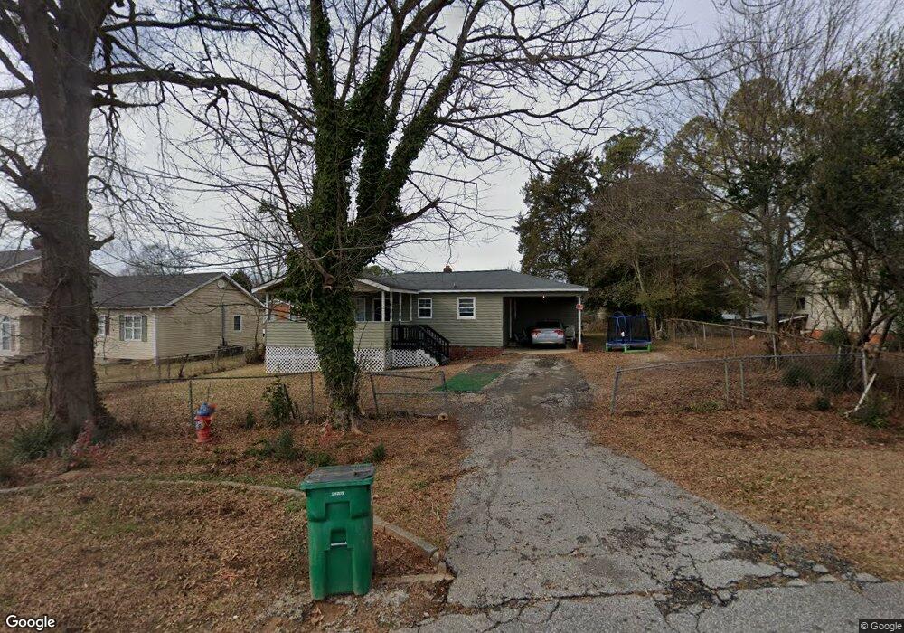
129 Griswald Cir Unit 11 Spartanburg, SC 29302
Estimated Value: $119,000 - $188,000
2
Beds
1
Bath
1,150
Sq Ft
$121/Sq Ft
Est. Value
About This Home
This home is located at 129 Griswald Cir Unit 11, Spartanburg, SC 29302 and is currently estimated at $138,983, approximately $120 per square foot. 129 Griswald Cir Unit 11 is a home located in Spartanburg County with nearby schools including Spartanburg High School.
Ownership History
Date
Name
Owned For
Owner Type
Purchase Details
Closed on
Jan 30, 2012
Sold by
Lpa Holdings Llc
Bought by
Jones Rene
Current Estimated Value
Purchase Details
Closed on
Jun 21, 2011
Sold by
Branch Banking & Trust Company
Bought by
Lpa Holdings Llc
Purchase Details
Closed on
Apr 4, 2011
Sold by
Chounlamany Khamfeuan
Bought by
Branch Banking & Trust Company
Purchase Details
Closed on
May 12, 2000
Sold by
Loungrath Bounmy and Loungrath Malinvanh
Bought by
Chounlamany Khamfeuan
Create a Home Valuation Report for This Property
The Home Valuation Report is an in-depth analysis detailing your home's value as well as a comparison with similar homes in the area
Home Values in the Area
Average Home Value in this Area
Purchase History
| Date | Buyer | Sale Price | Title Company |
|---|---|---|---|
| Jones Rene | $5,000 | -- | |
| Lpa Holdings Llc | $6,500 | -- | |
| Branch Banking & Trust Company | $7,000 | -- | |
| Chounlamany Khamfeuan | $42,500 | -- |
Source: Public Records
Tax History Compared to Growth
Tax History
| Year | Tax Paid | Tax Assessment Tax Assessment Total Assessment is a certain percentage of the fair market value that is determined by local assessors to be the total taxable value of land and additions on the property. | Land | Improvement |
|---|---|---|---|---|
| 2025 | $1,515 | $3,388 | $924 | $2,464 |
| 2024 | $1,515 | $3,388 | $924 | $2,464 |
| 2023 | $1,515 | $3,388 | $924 | $2,464 |
| 2022 | $1,309 | $2,946 | $720 | $2,226 |
| 2021 | $1,306 | $2,946 | $720 | $2,226 |
| 2020 | $1,294 | $2,946 | $720 | $2,226 |
| 2019 | $1,294 | $2,946 | $720 | $2,226 |
| 2018 | $1,292 | $2,946 | $720 | $2,226 |
| 2017 | $1,249 | $2,850 | $720 | $2,130 |
| 2016 | $1,248 | $2,850 | $720 | $2,130 |
| 2015 | $1,218 | $2,850 | $720 | $2,130 |
| 2014 | $1,202 | $2,850 | $720 | $2,130 |
Source: Public Records
Map
Nearby Homes
- 137 Anderson Dr
- 2504 W Croft Cir
- 117 Wardlaw Ave
- 218 Donavan Dr
- 203 Patch Dr
- 231 Patch Dr
- 530 Patch Dr
- 130 Landis St Unit 3
- 0 Bethesda Rd
- 3420 E Croft Cir
- 1023 Four Mile Branch Rd
- 240 Cotton Creek Dr
- 1154 Edisto Dr
- 216 Dares Ferry Rd
- 1008 Patch Dr
- ESSEX Plan at Riverdale Hills
- BERKSHIRE Plan at Riverdale Hills
- DUPONT Plan at Riverdale Hills
- CABOT Plan at Riverdale Hills
- BEAUMONT Plan at Riverdale Hills
- 121 Griswald Cir Unit 11
- 137 Griswald Cir
- 137 Griswald Cir Unit 11
- 105 Cedar Springs Ave
- 901 Cedar Springs Ave
- 328 Anderson Drive Extension
- 328 Anderson Drive Extension
- 320 Anderson Drive Extension
- 334 Anderson Drive Extension
- 348 Anderson Drive Extension
- 151 Griswold Cir Unit 11
- 256 Anderson Dr
- 261 Anderson Dr
- 163 Griswald Cir Unit 11
- 356 Anderson Drive Extension Unit 11
- 358 Anderson Dr
- 151 Headquarters Loop
- 364 Anderson Drive Extension
- 173 Griswald Cir Unit 175
- 364 Anderson Drive Extension Unit 11