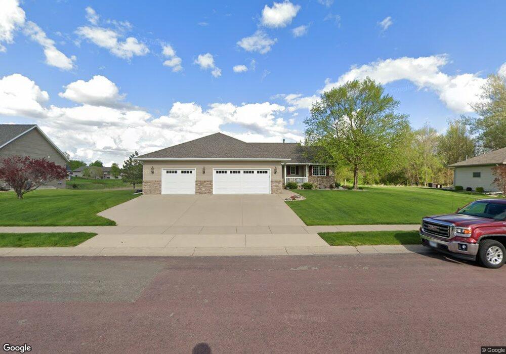
129 Grovebrook Dr Mankato, MN 56001
Country Club Estates NeighborhoodEstimated Value: $483,235 - $576,000
3
Beds
2
Baths
1,700
Sq Ft
$303/Sq Ft
Est. Value
About This Home
This home is located at 129 Grovebrook Dr, Mankato, MN 56001 and is currently estimated at $515,059, approximately $302 per square foot. 129 Grovebrook Dr is a home located in Blue Earth County with nearby schools including Franklin Elementary School, Prairie Winds Middle School, and Mankato East Senior High School.
Ownership History
Date
Name
Owned For
Owner Type
Purchase Details
Closed on
Sep 19, 2017
Sold by
Costello Janet E
Bought by
Degenstein Doris M and Degenstein Robert L
Current Estimated Value
Purchase Details
Closed on
Apr 1, 2008
Sold by
Orhn Rick Douglas and Orhn Teresa Lee
Bought by
Walter Mary E and Baker Ronald
Home Financials for this Owner
Home Financials are based on the most recent Mortgage that was taken out on this home.
Original Mortgage
$144,000
Interest Rate
6.09%
Mortgage Type
New Conventional
Purchase Details
Closed on
Jan 31, 2007
Sold by
Hiniker Homes Inc
Bought by
Orhn Rick Douglas and Orhn Teresa Lee
Home Financials for this Owner
Home Financials are based on the most recent Mortgage that was taken out on this home.
Original Mortgage
$140,000
Interest Rate
6.27%
Mortgage Type
New Conventional
Create a Home Valuation Report for This Property
The Home Valuation Report is an in-depth analysis detailing your home's value as well as a comparison with similar homes in the area
Home Values in the Area
Average Home Value in this Area
Purchase History
| Date | Buyer | Sale Price | Title Company |
|---|---|---|---|
| Degenstein Doris M | $282,000 | Blethen Title Services | |
| Walter Mary E | $265,000 | -- | |
| Orhn Rick Douglas | $257,686 | -- |
Source: Public Records
Mortgage History
| Date | Status | Borrower | Loan Amount |
|---|---|---|---|
| Previous Owner | Walter Mary E | $144,000 | |
| Previous Owner | Orhn Rick Douglas | $140,000 |
Source: Public Records
Tax History Compared to Growth
Tax History
| Year | Tax Paid | Tax Assessment Tax Assessment Total Assessment is a certain percentage of the fair market value that is determined by local assessors to be the total taxable value of land and additions on the property. | Land | Improvement |
|---|---|---|---|---|
| 2025 | $5,436 | $492,900 | $67,700 | $425,200 |
| 2024 | $5,436 | $482,000 | $67,700 | $414,300 |
| 2023 | $5,438 | $475,800 | $67,700 | $408,100 |
| 2022 | $4,812 | $464,200 | $67,700 | $396,500 |
| 2021 | $4,388 | $381,400 | $67,700 | $313,700 |
| 2020 | $4,218 | $335,700 | $67,700 | $268,000 |
| 2019 | $3,978 | $335,700 | $67,700 | $268,000 |
| 2018 | $3,682 | $317,500 | $56,400 | $261,100 |
| 2017 | $3,252 | $297,400 | $56,400 | $241,000 |
| 2016 | $3,160 | $277,300 | $56,400 | $220,900 |
| 2015 | $29 | $271,300 | $56,400 | $214,900 |
| 2014 | $2,964 | $253,300 | $56,400 | $196,900 |
Source: Public Records
Map
Nearby Homes
- 105 Dr
- 320 320 Grovebrook Ct
- 320 Grovebrook Ct
- 147 147 Waynesborough Way
- 147 Waynesborough Way
- 117 Ct
- 101 La Costa Ln
- 814 Pinnacle Path
- 814 814 Pinnacle Path
- 409 409 Grayhawk Dr
- 116 116 Torrey Pines Dr Unit 116 Torrey Pines Dri
- 104 104 Castle Pines Ct
- 640 Grayhawk Dr
- 640 640 Grayhawk Dr
- 21 Wood Dr Unit 7
- 29 Wood Dr Unit 11
- 24 Wood Dr Unit 33
- 66 Knoll Ln Unit 36
- 109 Maple Dr Unit 47
- 103 Maple Dr Unit 44
- 133 Grovebrook Dr
- 125 Grovebrook Dr
- 137 Grovebrook Dr
- 128 Grovebrook Dr
- 132 Grovebrook Dr
- 124 Grovebrook Dr
- 121 Grovebrook Dr
- 141 141 Grovebrook Dr
- 141 Grovebrook Dr
- 1204 Augusta Dr
- 136 Grovebrook Dr
- 120 Grovebrook Dr
- 145 Grovebrook Dr
- 117 Grovebrook Dr
- 140 Grovebrook Dr
- 1004 1004 Augusta Dr
- 205 Pebble Creek Dr
- 308 Grovebrook Ct
- 116 Grovebrook Dr
- 201 Pebble Creek Dr