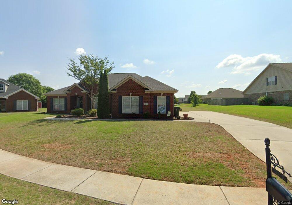
129 Hawks Nest Dr Madison, AL 35757
Monrovia NeighborhoodEstimated Value: $446,000 - $511,782
4
Beds
5
Baths
2,820
Sq Ft
$173/Sq Ft
Est. Value
About This Home
This home is located at 129 Hawks Nest Dr, Madison, AL 35757 and is currently estimated at $488,946, approximately $173 per square foot. 129 Hawks Nest Dr is a home located in Madison County with nearby schools including Legacy Elementary School, Monrovia Middle School, and Sparkman High School.
Ownership History
Date
Name
Owned For
Owner Type
Purchase Details
Closed on
Nov 30, 2010
Sold by
Jeff Benton Homes Inc
Bought by
Gangl Hubert R and Gangl Cheryl D
Current Estimated Value
Home Financials for this Owner
Home Financials are based on the most recent Mortgage that was taken out on this home.
Original Mortgage
$28,200
Outstanding Balance
$18,612
Interest Rate
4.2%
Mortgage Type
Credit Line Revolving
Estimated Equity
$470,334
Purchase Details
Closed on
Aug 25, 2010
Sold by
Jeff Benton Development Inc
Bought by
Jeff Benton Homes Inc
Create a Home Valuation Report for This Property
The Home Valuation Report is an in-depth analysis detailing your home's value as well as a comparison with similar homes in the area
Home Values in the Area
Average Home Value in this Area
Purchase History
| Date | Buyer | Sale Price | Title Company |
|---|---|---|---|
| Gangl Hubert R | -- | -- | |
| Jeff Benton Homes Inc | -- | -- |
Source: Public Records
Mortgage History
| Date | Status | Borrower | Loan Amount |
|---|---|---|---|
| Open | Gangl Hubert R | $28,200 |
Source: Public Records
Tax History Compared to Growth
Tax History
| Year | Tax Paid | Tax Assessment Tax Assessment Total Assessment is a certain percentage of the fair market value that is determined by local assessors to be the total taxable value of land and additions on the property. | Land | Improvement |
|---|---|---|---|---|
| 2024 | $1,744 | $47,100 | $9,500 | $37,600 |
| 2023 | $1,643 | $45,420 | $9,500 | $35,920 |
| 2022 | $1,353 | $38,960 | $7,000 | $31,960 |
| 2021 | $1,261 | $36,220 | $4,260 | $31,960 |
| 2020 | $1,136 | $32,760 | $4,250 | $28,510 |
| 2019 | $1,099 | $31,770 | $4,250 | $27,520 |
| 2018 | $1,033 | $29,980 | $0 | $0 |
| 2017 | $1,033 | $29,980 | $0 | $0 |
| 2016 | $1,033 | $29,980 | $0 | $0 |
| 2015 | $1,033 | $29,980 | $0 | $0 |
| 2014 | $1,006 | $29,240 | $0 | $0 |
Source: Public Records
Map
Nearby Homes
- 200 Sarah Jane Dr
- 124 Kinsale Dr
- 195 Sarah Jane Dr
- 223 Wainscott Dr
- 150 Blue Spruce Dr
- 108 Conifer Ct
- 110 Danika Dr NW
- 114 Pettus Rd
- 123 Forest Ridge Dr
- 101 Windsong Ct
- 146 Forest Ridge Dr
- 104 Windsong Ct
- 116 Cove Pointe Way
- 509 Summer Cove Cir NW
- 482 Mount Zion Rd
- 109 Sarah Jane Dr
- 436 Mount Zion Rd
- 207 Brier Ridge Ct
- 129 Sagebrook Dr
- 651 Summer Cove Cir NW
- 125 Hawks Nest Dr
- 102 Gardenia Ct
- 131 Hawks Nest Dr
- 119 Hawks Nest Dr
- 128 Hawks Nest Dr
- 132 Hawks Nest Dr
- 126 Hawks Nest Dr
- 130 Hawks Nest Dr
- 104 Gardenia Ct
- 480 Jasmine Dr
- 124 Hawks Nest Dr
- 118 Hawks Nest Dr
- 103 Gardenia Ct
- 115 Hawks Nest Dr
- 212 Sarah Jane Dr
- 207 Haddington Ct
- 203 Haddington Ct
- 205 Haddington Ct
- 209 Haddington Ct
- 116 Hawks Nest Dr