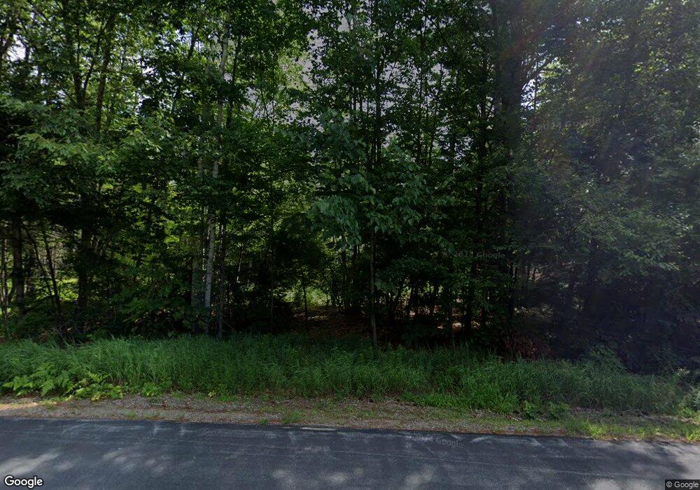
129 Jo Al Co Rd Strafford, NH 03884
Estimated Value: $515,931 - $586,000
3
Beds
2
Baths
1,264
Sq Ft
$428/Sq Ft
Est. Value
About This Home
This home is located at 129 Jo Al Co Rd, Strafford, NH 03884 and is currently estimated at $540,977, approximately $427 per square foot. 129 Jo Al Co Rd is a home with nearby schools including Strafford School and Coe-Brown Northwood Academy.
Create a Home Valuation Report for This Property
The Home Valuation Report is an in-depth analysis detailing your home's value as well as a comparison with similar homes in the area
Home Values in the Area
Average Home Value in this Area
Tax History Compared to Growth
Tax History
| Year | Tax Paid | Tax Assessment Tax Assessment Total Assessment is a certain percentage of the fair market value that is determined by local assessors to be the total taxable value of land and additions on the property. | Land | Improvement |
|---|---|---|---|---|
| 2024 | $6,254 | $316,500 | $77,100 | $239,400 |
| 2023 | $5,860 | $314,400 | $77,100 | $237,300 |
| 2022 | $5,386 | $314,400 | $77,100 | $237,300 |
| 2021 | $5,804 | $314,400 | $77,100 | $237,300 |
| 2020 | $5,730 | $223,400 | $70,300 | $153,100 |
| 2019 | $5,243 | $223,400 | $70,300 | $153,100 |
| 2018 | $5,051 | $223,400 | $70,300 | $153,100 |
| 2016 | $4,747 | $223,400 | $70,300 | $153,100 |
| 2015 | $4,373 | $200,500 | $84,200 | $116,300 |
| 2014 | $4,644 | $200,500 | $84,200 | $116,300 |
| 2013 | $4,332 | $191,000 | $84,200 | $106,800 |
| 2012 | $4,275 | $191,000 | $84,200 | $106,800 |
Source: Public Records
Map
Nearby Homes
- 1760 Province Rd
- Map 102 Lot 9 Kramas Ln
- 133 & 137 Browns Pasture Rd
- 152 Evans Rd
- 21 Quimby Dr
- 20 Quimby Dr
- R11 07 Clough Rd
- 955 Catamount Rd
- Map 219 Lot 6-8 Ridge Rd
- Map 3 Lot 18-2b and 18-2c Water St
- 8 Bow Lake Rd
- 11 Drake Hill Rd
- 17 Brook Circle Rd
- 152 Olde Canterbury Rd
- 64 Kelsey Mill Rd
- 0 1st New Hampshire Turnpike Unit 5026030
- 0 1st New Hampshire Turnpike Unit 5013320
- 150A 1st New Hampshire Turnpike
- M37 L40 Beaver Rd
- 572 S Barnstead Rd
- 119 Joalco Rd
- 109 Joalco Rd
- 109 Jo Al Co Rd
- off Jo Al Co Rd Unit Map 1 Lot 35
- 145 Jo Al Co Rd
- 95 Jo Al County Rd
- 95 Joalco Rd
- 0 Webber Rd
- 85 Joalco Rd
- 162 Jo Al Co Rd
- 83 Joalco Rd
- 83 Jo Al Co Rd
- 180 Joalco Rd
- 180 Jo Al Co Rd
- 67 Joalco Rd
- 181 Joalco Rd
- 61 Joalco Rd
- 184 Jo Al Co Rd
- 1382 Province Rd
- 193 Joalco Rd
