129 Landing Dr Morgantown, WV 26508
Estimated Value: $380,000 - $401,000
3
Beds
3
Baths
2,358
Sq Ft
$165/Sq Ft
Est. Value
About This Home
This home is located at 129 Landing Dr, Morgantown, WV 26508 and is currently estimated at $388,984, approximately $164 per square foot. 129 Landing Dr is a home located in Monongalia County with nearby schools including Ridgedale Elementary School, South Middle School, and Morgantown High School.
Ownership History
Date
Name
Owned For
Owner Type
Purchase Details
Closed on
Jan 7, 2022
Sold by
Thompson Bryan K
Bought by
Richard Michael Dale and Richard Jene Kayla
Current Estimated Value
Home Financials for this Owner
Home Financials are based on the most recent Mortgage that was taken out on this home.
Original Mortgage
$288,000
Outstanding Balance
$265,463
Interest Rate
3.12%
Mortgage Type
New Conventional
Estimated Equity
$123,521
Purchase Details
Closed on
Aug 12, 2019
Sold by
Gcf2 Properties Llc
Bought by
Thompson Bryan K and Thompson Jennifer R
Home Financials for this Owner
Home Financials are based on the most recent Mortgage that was taken out on this home.
Original Mortgage
$256,025
Interest Rate
3.87%
Mortgage Type
Adjustable Rate Mortgage/ARM
Purchase Details
Closed on
Sep 25, 2017
Sold by
Big Sky Enterprises Llc
Bought by
Gcf2 Properties Llc
Create a Home Valuation Report for This Property
The Home Valuation Report is an in-depth analysis detailing your home's value as well as a comparison with similar homes in the area
Home Values in the Area
Average Home Value in this Area
Purchase History
| Date | Buyer | Sale Price | Title Company |
|---|---|---|---|
| Richard Michael Dale | $320,000 | Buckley Legal Pllc | |
| Richard Michael Dale | $320,000 | Buckley8 Legal Pllc | |
| Thompson Bryan K | $269,500 | None Available | |
| Gcf2 Properties Llc | -- | None Available |
Source: Public Records
Mortgage History
| Date | Status | Borrower | Loan Amount |
|---|---|---|---|
| Open | Richard Michael Dale | $288,000 | |
| Previous Owner | Thompson Bryan K | $256,025 |
Source: Public Records
Tax History Compared to Growth
Tax History
| Year | Tax Paid | Tax Assessment Tax Assessment Total Assessment is a certain percentage of the fair market value that is determined by local assessors to be the total taxable value of land and additions on the property. | Land | Improvement |
|---|---|---|---|---|
| 2024 | $1,802 | $168,660 | $33,240 | $135,420 |
| 2023 | $1,797 | $168,660 | $33,240 | $135,420 |
| 2022 | $1,598 | $155,940 | $33,240 | $122,700 |
| 2021 | $1,606 | $155,940 | $33,240 | $122,700 |
| 2020 | $1,589 | $153,600 | $30,900 | $122,700 |
| 2019 | $644 | $30,900 | $30,900 | $0 |
| 2018 | $646 | $30,900 | $30,900 | $0 |
| 2017 | $613 | $29,160 | $29,160 | $0 |
Source: Public Records
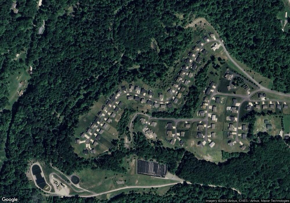
Map
Nearby Homes
- 100 Landing Dr
- 3228 Ridgedale Rd
- TBD Humphreys Rd
- 53 Owl St
- 52 Owl St
- 1248 Goshen Rd
- 107 Lockwood Dr
- 105 Lockwood Dr
- 100 Lockwood Dr
- 48 Ringold Ln
- 00 Camp Mountaineer Rd
- 0 Camp Mountaineer Rd
- 1266 Grafton Rd
- Lot 2 Fieldstone Dr
- Lot 11 Rockwell Ct
- Lot 10 Rockwell Ct
- Lot 9 Rockwell Ct
- TBD Blue Sky Ln
- 114 Nichole St
- TBD Blue Sky LN Blue Sky Ln