Estimated Value: $422,000 - $456,000
2
Beds
2
Baths
1,072
Sq Ft
$408/Sq Ft
Est. Value
About This Home
This home is located at 129 Lowell St Unit 41, Peabody, MA 01960 and is currently estimated at $437,773, approximately $408 per square foot. 129 Lowell St Unit 41 is a home located in Essex County with nearby schools including Peabody Veterans Memorial High School, St John The Baptist School, and Bishop Fenwick High School.
Ownership History
Date
Name
Owned For
Owner Type
Purchase Details
Closed on
Oct 10, 2020
Sold by
Diefenbach Gayle
Bought by
Ograbisz Gayle
Current Estimated Value
Home Financials for this Owner
Home Financials are based on the most recent Mortgage that was taken out on this home.
Original Mortgage
$194,155
Outstanding Balance
$172,376
Interest Rate
2.8%
Mortgage Type
New Conventional
Estimated Equity
$265,397
Purchase Details
Closed on
Jul 31, 1998
Sold by
Langley Peter A
Bought by
Diefenbach Gayle
Create a Home Valuation Report for This Property
The Home Valuation Report is an in-depth analysis detailing your home's value as well as a comparison with similar homes in the area
Home Values in the Area
Average Home Value in this Area
Purchase History
| Date | Buyer | Sale Price | Title Company |
|---|---|---|---|
| Ograbisz Gayle | -- | None Available | |
| Diefenbach Gayle | $119,500 | -- |
Source: Public Records
Mortgage History
| Date | Status | Borrower | Loan Amount |
|---|---|---|---|
| Open | Ograbisz Gayle | $194,155 | |
| Previous Owner | Diefenbach Gayle | $211,000 | |
| Previous Owner | Diefenbach Gayle | $198,500 | |
| Previous Owner | Diefenbach Gayle | $165,000 |
Source: Public Records
Tax History Compared to Growth
Tax History
| Year | Tax Paid | Tax Assessment Tax Assessment Total Assessment is a certain percentage of the fair market value that is determined by local assessors to be the total taxable value of land and additions on the property. | Land | Improvement |
|---|---|---|---|---|
| 2025 | $3,566 | $385,100 | $0 | $385,100 |
| 2024 | $3,399 | $372,700 | $0 | $372,700 |
| 2023 | $3,302 | $346,900 | $0 | $346,900 |
| 2022 | $3,140 | $310,900 | $0 | $310,900 |
| 2021 | $3,046 | $290,400 | $0 | $290,400 |
| 2020 | $2,826 | $263,100 | $0 | $263,100 |
| 2019 | $2,897 | $263,100 | $0 | $263,100 |
| 2018 | $2,741 | $239,200 | $0 | $239,200 |
| 2017 | $2,451 | $208,400 | $0 | $208,400 |
| 2016 | $2,444 | $205,000 | $0 | $205,000 |
| 2015 | $2,228 | $181,100 | $0 | $181,100 |
Source: Public Records
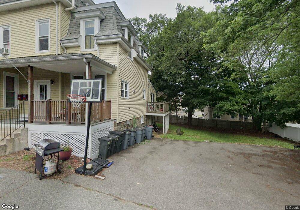
About This Building
Map
Nearby Homes
- 16 Ethel Ave
- 2 Ethel Ave Unit 2
- 21 Emerson St
- 38-1/2 Ellsworth Rd
- 8R Elm St Unit 2
- 62 Wallis St
- 46 Wallis St
- 5 Tremont Place
- 4R Forest St
- 111 Foster St Unit 416
- 111 Foster St Unit 401
- 46 Walnut St
- 4 Northend St
- 32 Mason St
- 75 Walnut St Unit 116
- 1 Dennis St
- 13 State St
- 20 State St
- 12 Sutton St
- 55 Pulaski St
- 129 Lowell St Unit 55
- 129 Lowell St Unit 54
- 129 Lowell St Unit 53
- 129 Lowell St Unit 52
- 129 Lowell St Unit 51
- 129 Lowell St Unit 50
- 129 Lowell St Unit 49
- 129 Lowell St Unit 48
- 129 Lowell St Unit 47
- 129 Lowell St Unit 46
- 129 Lowell St Unit 45
- 129 Lowell St Unit 44
- 129 Lowell St Unit 43
- 129 Lowell St Unit 42
- 129 Lowell St Unit 40
- 129 Lowell St Unit 39
- 129 Lowell St Unit 38
- 129 Lowell St Unit 37
- 129 Lowell St Unit 36
- 129 Lowell St Unit 35