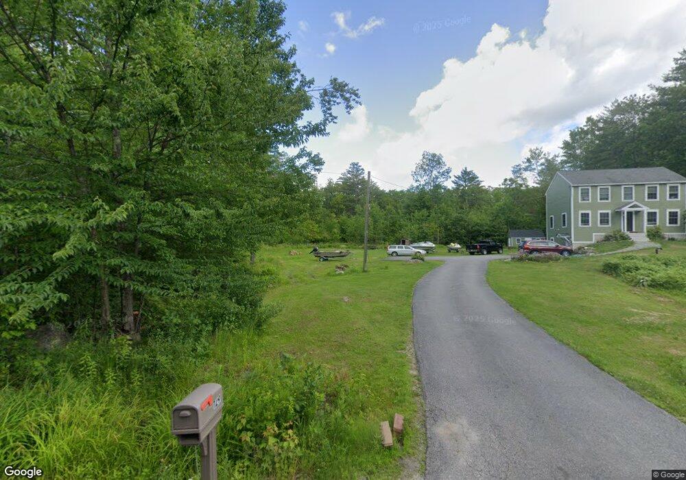
129 Mary Rowe Dr Hillsborough, NH 03244
Hillsboro NeighborhoodEstimated Value: $388,000 - $429,410
3
Beds
3
Baths
1,834
Sq Ft
$221/Sq Ft
Est. Value
About This Home
This home is located at 129 Mary Rowe Dr, Hillsborough, NH 03244 and is currently estimated at $406,103, approximately $221 per square foot. 129 Mary Rowe Dr is a home located in Hillsborough County with nearby schools including Hillsboro-Deering Elementary School and Hillsboro-Deering High School.
Ownership History
Date
Name
Owned For
Owner Type
Purchase Details
Closed on
Jun 2, 2004
Sold by
Buchanan Construction
Bought by
Obrien Darryll T and Obrien Tina M
Current Estimated Value
Home Financials for this Owner
Home Financials are based on the most recent Mortgage that was taken out on this home.
Original Mortgage
$191,280
Interest Rate
5.94%
Mortgage Type
Purchase Money Mortgage
Create a Home Valuation Report for This Property
The Home Valuation Report is an in-depth analysis detailing your home's value as well as a comparison with similar homes in the area
Home Values in the Area
Average Home Value in this Area
Purchase History
| Date | Buyer | Sale Price | Title Company |
|---|---|---|---|
| Obrien Darryll T | $239,100 | -- |
Source: Public Records
Mortgage History
| Date | Status | Borrower | Loan Amount |
|---|---|---|---|
| Open | Obrien Darryll T | $170,357 | |
| Closed | Obrien Darryll T | $191,280 |
Source: Public Records
Tax History Compared to Growth
Tax History
| Year | Tax Paid | Tax Assessment Tax Assessment Total Assessment is a certain percentage of the fair market value that is determined by local assessors to be the total taxable value of land and additions on the property. | Land | Improvement |
|---|---|---|---|---|
| 2024 | $6,976 | $208,600 | $61,700 | $146,900 |
| 2023 | $6,512 | $208,600 | $61,700 | $146,900 |
| 2022 | $5,568 | $208,600 | $61,700 | $146,900 |
| 2021 | $6,033 | $208,600 | $61,700 | $146,900 |
| 2020 | $5,993 | $208,600 | $61,700 | $146,900 |
| 2018 | $5,481 | $185,800 | $51,700 | $134,100 |
| 2017 | $5,661 | $185,800 | $51,700 | $134,100 |
| 2016 | $5,429 | $183,900 | $46,700 | $137,200 |
| 2015 | $5,342 | $183,900 | $46,700 | $137,200 |
| 2014 | $5,038 | $182,800 | $46,700 | $136,100 |
| 2013 | $5,160 | $183,900 | $46,700 | $137,200 |
Source: Public Records
Map
Nearby Homes
- 0 Raccoon Alley Unit 86 4855473
- 0 Red Fox Crossing Unit 34 4858470
- 24 Raccoon Alley
- 32-33 Red Fox Crossing
- 0 Huntington Dr Unit 373 4855140
- 0 Huntington Dr Unit 307 4855146
- 17 Gould Pond Rd
- 0 Midnight Walk Unit 264 4914126
- Lot 265 Midnight Walk
- 10 Melody Ln
- 19 Boulder Pass
- 32 Deerpoint Dr
- 0 Dawn St Unit 79 4854584
- 28 Merrill Rd
- 0 Bobolink Ln Unit 120 4858469
- 98 Emerald Dr
- 0 Kings Row Unit 151 4855040
- 44 Huntington Dr
- 6 Birch Tree Ln
- 17 Autumn Rd
- 137 Mary Rowe Dr
- 121 Mary Rowe Dr
- 45 Red Fox Crossing
- 141 Mary Rowe Dr
- 111 Mary Rowe Dr
- 49 Red Fox Crossing
- 39 Red Fox Crossing
- 51 Red Fox Crossing
- 35 Red Fox Crossing
- 15 Red Fox Crossing
- 130 Mary Rowe Dr
- 138 Mary Rowe Dr
- 9-160-2 Mary Rowe Dr
- 0 Mary Rowe Dr
- 59 Red Fox Crossing
- 25 Raccoon Alley
- 46 Red Fox Crossing
- 122 Mary Rowe Dr
- 0 Ravenhead Ln
- 27 Raccoon Alley