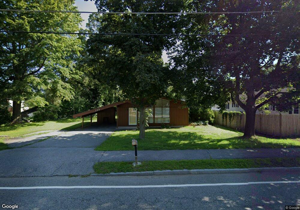
129 Milk St Westborough, MA 01581
Estimated Value: $515,000 - $521,000
3
Beds
1
Bath
1,008
Sq Ft
$513/Sq Ft
Est. Value
About This Home
This home is located at 129 Milk St, Westborough, MA 01581 and is currently estimated at $517,467, approximately $513 per square foot. 129 Milk St is a home located in Worcester County with nearby schools including Westborough High School, Ebridge Montessori School, and Westboro Knowledge Beginnings.
Create a Home Valuation Report for This Property
The Home Valuation Report is an in-depth analysis detailing your home's value as well as a comparison with similar homes in the area
Home Values in the Area
Average Home Value in this Area
Tax History Compared to Growth
Tax History
| Year | Tax Paid | Tax Assessment Tax Assessment Total Assessment is a certain percentage of the fair market value that is determined by local assessors to be the total taxable value of land and additions on the property. | Land | Improvement |
|---|---|---|---|---|
| 2025 | $6,690 | $410,700 | $301,100 | $109,600 |
| 2024 | $6,472 | $394,400 | $280,000 | $114,400 |
| 2023 | $6,244 | $370,800 | $265,400 | $105,400 |
| 2022 | $5,617 | $303,800 | $210,900 | $92,900 |
| 2021 | $5,208 | $280,900 | $187,900 | $93,000 |
| 2020 | $5,340 | $291,500 | $195,600 | $95,900 |
| 2019 | $5,079 | $277,100 | $195,600 | $81,500 |
| 2018 | $4,582 | $248,200 | $182,200 | $66,000 |
| 2017 | $4,418 | $248,200 | $182,200 | $66,000 |
| 2016 | $4,254 | $239,400 | $172,600 | $66,800 |
| 2015 | $4,508 | $242,500 | $172,600 | $69,900 |
Source: Public Records
Map
Nearby Homes
- 22 Treetop Park
- 52 Treetop Park Unit 52
- 9 Treetop Park
- 19 Treetop Park Unit 19
- 9 Shaker Way
- 155 Milk St Unit 5
- 155 Milk St Unit 27
- 8 Stagecoach Cir Unit 8
- 19 Fisher St
- 3 Dover Way
- 4403 Peters Farm Way Unit 403
- 196 -198 Turnpike Rd
- 43 Church St
- 48 High Street Extension
- 7 Mayberry Dr Unit H
- 14 Mayberry Dr Unit 10
- 6 Folly Ln
- 23 Water St
- 14 Grove St Unit 2
- 21 South St Unit 31