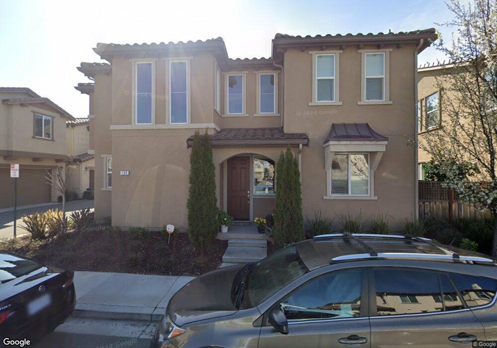
129 Misty Cir Livermore, CA 94550
Estimated Value: $1,041,722 - $1,136,000
3
Beds
3
Baths
1,640
Sq Ft
$659/Sq Ft
Est. Value
About This Home
This home is located at 129 Misty Cir, Livermore, CA 94550 and is currently estimated at $1,080,931, approximately $659 per square foot. 129 Misty Cir is a home with nearby schools including Arroyo Seco Elementary School, East Avenue Middle School, and Livermore High School.
Ownership History
Date
Name
Owned For
Owner Type
Purchase Details
Closed on
Jul 7, 2016
Sold by
Kb Home South Bay Inc
Bought by
Sandhya Valluru Keerthi Srivastav and Sandhya Mitnala Naga
Current Estimated Value
Home Financials for this Owner
Home Financials are based on the most recent Mortgage that was taken out on this home.
Original Mortgage
$575,575
Outstanding Balance
$459,779
Interest Rate
3.6%
Mortgage Type
New Conventional
Estimated Equity
$621,152
Create a Home Valuation Report for This Property
The Home Valuation Report is an in-depth analysis detailing your home's value as well as a comparison with similar homes in the area
Home Values in the Area
Average Home Value in this Area
Purchase History
| Date | Buyer | Sale Price | Title Company |
|---|---|---|---|
| Sandhya Valluru Keerthi Srivastav | $719,500 | First American Title Company |
Source: Public Records
Mortgage History
| Date | Status | Borrower | Loan Amount |
|---|---|---|---|
| Open | Sandhya Valluru Keerthi Srivastav | $575,575 |
Source: Public Records
Tax History Compared to Growth
Tax History
| Year | Tax Paid | Tax Assessment Tax Assessment Total Assessment is a certain percentage of the fair market value that is determined by local assessors to be the total taxable value of land and additions on the property. | Land | Improvement |
|---|---|---|---|---|
| 2025 | $10,784 | $827,906 | $250,448 | $584,458 |
| 2024 | $10,784 | $811,540 | $245,539 | $573,001 |
| 2023 | $10,635 | $802,489 | $240,724 | $561,765 |
| 2022 | $10,460 | $779,757 | $236,005 | $550,752 |
| 2021 | $10,242 | $764,332 | $231,378 | $539,954 |
| 2020 | $10,015 | $763,426 | $229,006 | $534,420 |
| 2019 | $10,108 | $748,463 | $224,518 | $523,945 |
| 2018 | $9,909 | $733,788 | $220,116 | $513,672 |
| 2017 | $9,780 | $719,400 | $215,800 | $503,600 |
| 2016 | $2,495 | $134,889 | $134,889 | $0 |
Source: Public Records
Map
Nearby Homes
- 5285 Felicia Ave
- 883 Barney Com
- 734 Bellflower St
- 5801 Flora Common
- 814 Sundial Cir Unit 105
- 838 Hazel St
- 4803 Andrea Ct
- Residence 2 Plan at Arroyo Crossings - Amara at Arroyo Crossings
- Residence 3 Plan at Arroyo Crossings - Verdello at Arroyo Crossings
- Residence 3 Plan at Arroyo Crossings - Solera at Arroyo Crossings
- Residence 1 Plan at Arroyo Crossings - Solera at Arroyo Crossings
- 4898 Las Positas Rd
- Residence 1 Plan at Arroyo Crossings - Amara at Arroyo Crossings
- Residence 1 Plan at Arroyo Crossings - Verdello at Arroyo Crossings
- Residence 1 Plan at Arroyo Crossings - Alicante at Arroyo Crossings
- Residence 3 Plan at Arroyo Crossings - Amara at Arroyo Crossings
- Residence 2 Plan at Arroyo Crossings - Solera at Arroyo Crossings
- Residence 2 Plan at Arroyo Crossings - Verdello at Arroyo Crossings
- Residence 2 Plan at Arroyo Crossings - Alicante at Arroyo Crossings
- Residence 4 Plan at Arroyo Crossings - Solera at Arroyo Crossings
- 125 Misty Cir
- 117 Misty Cir
- 133 Misty Cir
- 121 Misty Cir
- 145 Misty Cir
- 141 Misty Cir
- 113 Misty Cir
- 137 Misty Cir
- 153 Misty Cir
- 105 Misty Cir
- 245 Stratus Common
- 149 Misty Cir
- 242 Stratus Common
- 157 Misty Cir
- 101 Misty Cir
- 109 Misty Cir
- 234 Stratus Common
- 165 Misty Cr
- 237 Stratus Common
- 292 Nimbus Common