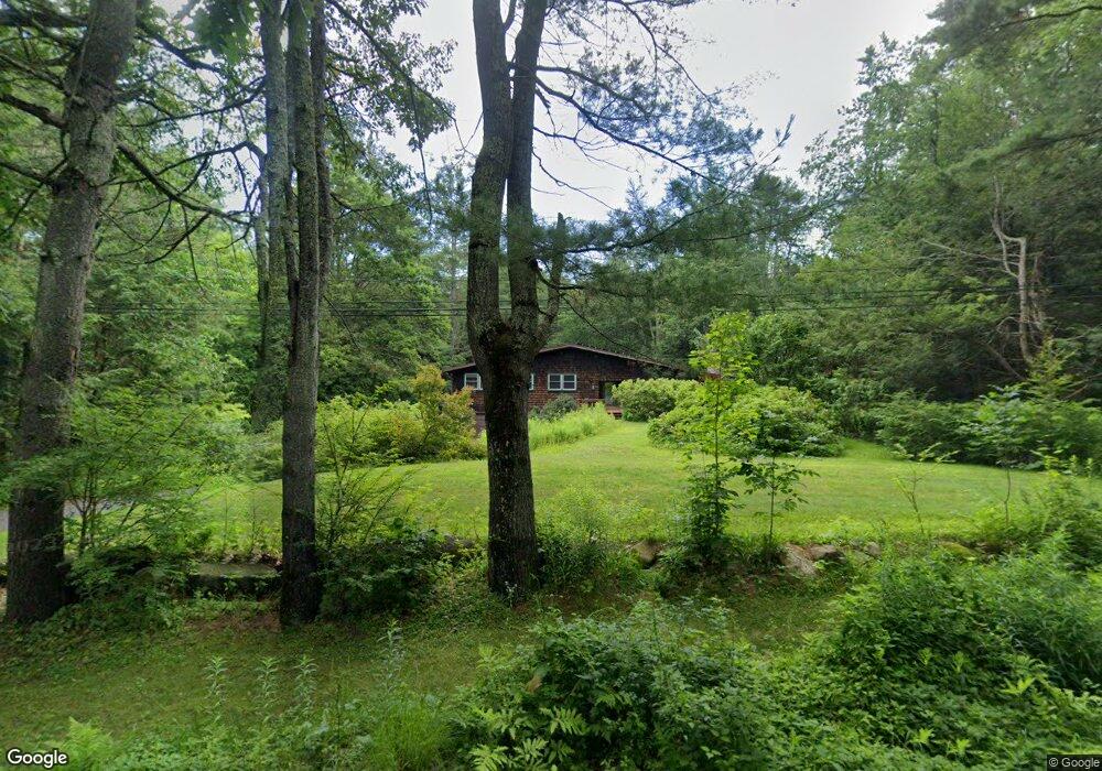
129 N Poland Rd Conway, MA 01341
Estimated Value: $500,798 - $598,000
4
Beds
3
Baths
1,962
Sq Ft
$277/Sq Ft
Est. Value
About This Home
This home is located at 129 N Poland Rd, Conway, MA 01341 and is currently estimated at $543,700, approximately $277 per square foot. 129 N Poland Rd is a home located in Franklin County with nearby schools including Frontier Regional School.
Ownership History
Date
Name
Owned For
Owner Type
Purchase Details
Closed on
Oct 30, 2009
Sold by
Schuman Murray and Schuman Barbara
Bought by
Natale Steven J
Current Estimated Value
Home Financials for this Owner
Home Financials are based on the most recent Mortgage that was taken out on this home.
Original Mortgage
$195,000
Interest Rate
5.06%
Mortgage Type
Purchase Money Mortgage
Purchase Details
Closed on
Aug 15, 1995
Sold by
Simmons Dorothy
Bought by
Schuman Murray and Schuman Barbara
Create a Home Valuation Report for This Property
The Home Valuation Report is an in-depth analysis detailing your home's value as well as a comparison with similar homes in the area
Home Values in the Area
Average Home Value in this Area
Purchase History
| Date | Buyer | Sale Price | Title Company |
|---|---|---|---|
| Natale Steven J | $295,000 | -- | |
| Schuman Murray | $128,000 | -- |
Source: Public Records
Mortgage History
| Date | Status | Borrower | Loan Amount |
|---|---|---|---|
| Open | Schuman Murray | $184,000 | |
| Closed | Schuman Murray | $193,700 | |
| Closed | Natale Steven J | $195,000 | |
| Previous Owner | Schuman Murray | $85,000 | |
| Previous Owner | Schuman Murray | $84,000 |
Source: Public Records
Tax History Compared to Growth
Tax History
| Year | Tax Paid | Tax Assessment Tax Assessment Total Assessment is a certain percentage of the fair market value that is determined by local assessors to be the total taxable value of land and additions on the property. | Land | Improvement |
|---|---|---|---|---|
| 2025 | $5,987 | $414,600 | $94,500 | $320,100 |
| 2024 | $5,382 | $328,200 | $85,700 | $242,500 |
| 2023 | $5,629 | $328,200 | $85,700 | $242,500 |
| 2022 | $5,477 | $305,100 | $80,500 | $224,600 |
| 2021 | $238 | $287,600 | $76,500 | $211,100 |
| 2020 | $5,198 | $277,100 | $76,100 | $201,000 |
| 2019 | $5,144 | $275,800 | $76,100 | $199,700 |
| 2018 | $5,102 | $275,800 | $76,100 | $199,700 |
| 2017 | $4,895 | $275,800 | $76,100 | $199,700 |
| 2016 | $4,402 | $263,900 | $66,500 | $197,400 |
| 2015 | $4,267 | $263,900 | $66,500 | $197,400 |
Source: Public Records
Map
Nearby Homes
- 473 N Poland Rd
- 0 Pleasant St
- 14 River St
- lot 1 Shelburne Falls Rd
- 240 Beldingville Rd
- 85 Dacey Rd
- 1531 Williamsburg Rd
- 230 S Ashfield Rd
- 820 E Guinea Rd
- 0 Sears Rd Unit 73373850
- 220 Hawley Rd
- 71 Mathews Rd
- 0 Ashfield Rd
- 374 Watson Spruce Corner Rd
- 102 Elm St
- 146 Berkshire Trail W
- 0 Spruce Corner Rd Unit 73244975
- 0 John Ford Rd Unit 73403157
- 0 John Ford Rd Unit 73403156
- 30 Lee Rd
- 128 N Poland Rd
- 185 N Poland Rd
- 186 N Poland Rd
- 71 N Poland Rd
- 67 N Poland Rd
- 42 N Poland Rd
- 20 N Poland Rd
- 9 Conway Rd Rt 116
- 1446 Ashfield Rd
- 400 N Poland Rd
- 1528 Ashfield Rd
- 468 N Poland Rd
- 457 N Poland Rd
- 369 Bullitt Rd
- 2237 Conway Rd
- 1128 Ashfield Rd
- 1126 Ashfield Rd
- 302 Riley Rd
- 0 N Poland Rd
- 291 Riley Rd