129 Neal Rd Central, SC 29630
Estimated Value: $203,000 - $228,874
3
Beds
2
Baths
1,153
Sq Ft
$187/Sq Ft
Est. Value
About This Home
This home is located at 129 Neal Rd, Central, SC 29630 and is currently estimated at $215,719, approximately $187 per square foot. 129 Neal Rd is a home located in Pickens County with nearby schools including Central Academy of the Arts, R.C. Edwards Middle School, and D.W. Daniel High School.
Ownership History
Date
Name
Owned For
Owner Type
Purchase Details
Closed on
Jul 10, 2023
Sold by
Hayes Joseph F and Hayes Victoria K
Bought by
Joseph And Victoria Hayes Family Revocable Li and Hayes
Current Estimated Value
Purchase Details
Closed on
Sep 11, 2008
Sold by
Sexton William E and Sexton Patsy W
Bought by
Hayes Joseph F and Hayes Victoria K
Home Financials for this Owner
Home Financials are based on the most recent Mortgage that was taken out on this home.
Original Mortgage
$108,000
Interest Rate
6.49%
Mortgage Type
Purchase Money Mortgage
Create a Home Valuation Report for This Property
The Home Valuation Report is an in-depth analysis detailing your home's value as well as a comparison with similar homes in the area
Home Values in the Area
Average Home Value in this Area
Purchase History
| Date | Buyer | Sale Price | Title Company |
|---|---|---|---|
| Joseph And Victoria Hayes Family Revocable Li | -- | None Listed On Document | |
| Joseph And Victoria Hayes Family Revocable Li | -- | None Listed On Document | |
| Hayes Joseph F | $100,000 | -- |
Source: Public Records
Mortgage History
| Date | Status | Borrower | Loan Amount |
|---|---|---|---|
| Previous Owner | Hayes Joseph F | $108,000 |
Source: Public Records
Tax History Compared to Growth
Tax History
| Year | Tax Paid | Tax Assessment Tax Assessment Total Assessment is a certain percentage of the fair market value that is determined by local assessors to be the total taxable value of land and additions on the property. | Land | Improvement |
|---|---|---|---|---|
| 2024 | $1,598 | $6,650 | $2,310 | $4,340 |
| 2023 | $1,598 | $4,540 | $1,540 | $3,000 |
| 2022 | $548 | $4,540 | $1,540 | $3,000 |
| 2021 | $1,585 | $6,810 | $2,310 | $4,500 |
| 2020 | $1,505 | $6,810 | $2,310 | $4,500 |
| 2019 | $1,514 | $6,810 | $2,310 | $4,500 |
| 2018 | $1,396 | $6,000 | $1,790 | $4,210 |
| 2017 | $1,386 | $6,000 | $1,790 | $4,210 |
| 2015 | $1,369 | $6,000 | $0 | $0 |
| 2008 | -- | $3,880 | $1,160 | $2,720 |
Source: Public Records
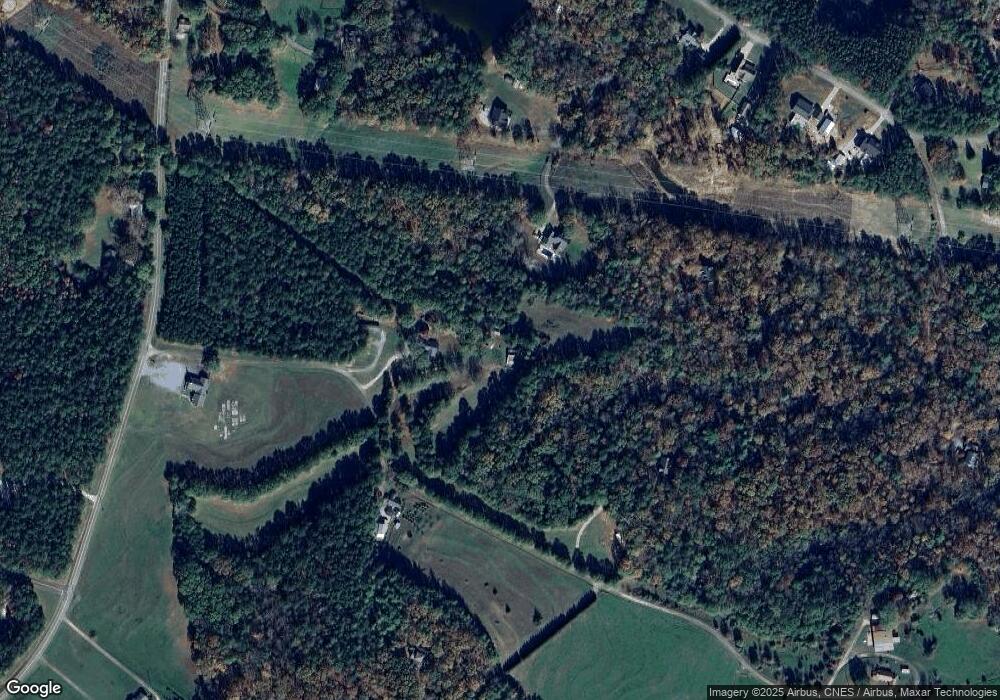
Map
Nearby Homes
- 108 Grange Valley Ln
- 138 Grange Valley Ln
- 415 Silver Creek Rd
- 155 Carrousel Dr
- 120 Pin Du Lac Dr
- 2549 Six Mile Hwy Unit 5.61 acres
- 2549 Six Mile Hwy
- 363 Mountain View Dr
- 374 Mountain View Dr
- 102 Shale Dr
- Audrey II Plan at Edwards Ridge
- Madeline II Plan at Edwards Ridge
- Gardener ll Plan at Edwards Ridge
- Baymore II Plan at Edwards Ridge
- Sonoma II Plan at Edwards Ridge
- Connor II Plan at Edwards Ridge
- Ariel II Plan at Edwards Ridge
- Austin II Plan at Edwards Ridge
- 108 Shale Dr
- 114 Shale Dr
- 146 Neal Rd
- 144 Magic Mountain Dr
- 132 Magic Mountain Dr
- 175 Neal Rd
- 171 Magic Mountain Dr
- 00 Maw Bridge Rd Unit $13,000 per acre
- 128 Wildwood Trail
- 1554 Maw Bridge Rd
- 1519 Maw Bridge Rd
- 108 Elfwing Ln
- 202 Elfwing Ln
- 1546 Maw Bridge Rd
- 206 Elfwing Ln
- 210 Elfwing Ln
- 1390 Maw Bridge Rd
- 1560 Maw Bridge Rd
- 105 Elfwing Ln
- 214 Elfwing Ln
- 1417 Maw Bridge Rd
- 1559 Maw Bridge Rd