129 Northern Spy Dr Howard, OH 43028
Apple Valley NeighborhoodEstimated Value: $235,000 - $291,000
3
Beds
2
Baths
1,400
Sq Ft
$182/Sq Ft
Est. Value
About This Home
This home is located at 129 Northern Spy Dr, Howard, OH 43028 and is currently estimated at $254,615, approximately $181 per square foot. 129 Northern Spy Dr is a home located in Knox County with nearby schools including East Knox Elementary School and East Knox High School.
Ownership History
Date
Name
Owned For
Owner Type
Purchase Details
Closed on
Apr 19, 2001
Sold by
Davis Patrick and Davis Cheryl
Bought by
Esparza Arturo G and Esparza Pamela
Current Estimated Value
Purchase Details
Closed on
Jul 18, 1997
Sold by
Atkins David C
Bought by
Davis Patrick and Davis Cheryl
Purchase Details
Closed on
Jul 18, 1995
Sold by
Atkins David C and Atkins Gandert
Bought by
Atkins David C
Purchase Details
Closed on
May 30, 1991
Sold by
Funston Michael and Funston Emily
Bought by
Atkins David C and Atkins Gandert
Purchase Details
Closed on
May 6, 1988
Sold by
Nuetzel Richard L and Nuetzel Nora
Bought by
Funston Michael and Funston Emily
Create a Home Valuation Report for This Property
The Home Valuation Report is an in-depth analysis detailing your home's value as well as a comparison with similar homes in the area
Home Values in the Area
Average Home Value in this Area
Purchase History
| Date | Buyer | Sale Price | Title Company |
|---|---|---|---|
| Esparza Arturo G | $110,000 | -- | |
| Davis Patrick | $88,900 | -- | |
| Atkins David C | -- | -- | |
| Atkins David C | $400 | -- | |
| Funston Michael | $400 | -- |
Source: Public Records
Tax History Compared to Growth
Tax History
| Year | Tax Paid | Tax Assessment Tax Assessment Total Assessment is a certain percentage of the fair market value that is determined by local assessors to be the total taxable value of land and additions on the property. | Land | Improvement |
|---|---|---|---|---|
| 2024 | $2,523 | $62,770 | $4,540 | $58,230 |
| 2023 | $2,523 | $62,770 | $4,540 | $58,230 |
| 2022 | $2,029 | $43,290 | $3,130 | $40,160 |
| 2021 | $2,029 | $43,290 | $3,130 | $40,160 |
| 2020 | $1,933 | $43,290 | $3,130 | $40,160 |
| 2019 | $1,840 | $37,810 | $3,070 | $34,740 |
| 2018 | $1,723 | $37,810 | $3,070 | $34,740 |
| 2017 | $1,708 | $37,810 | $3,070 | $34,740 |
| 2016 | $1,606 | $35,010 | $2,840 | $32,170 |
| 2015 | $1,462 | $35,010 | $2,840 | $32,170 |
| 2014 | $1,464 | $35,010 | $2,840 | $32,170 |
| 2013 | $1,611 | $36,600 | $3,480 | $33,120 |
Source: Public Records
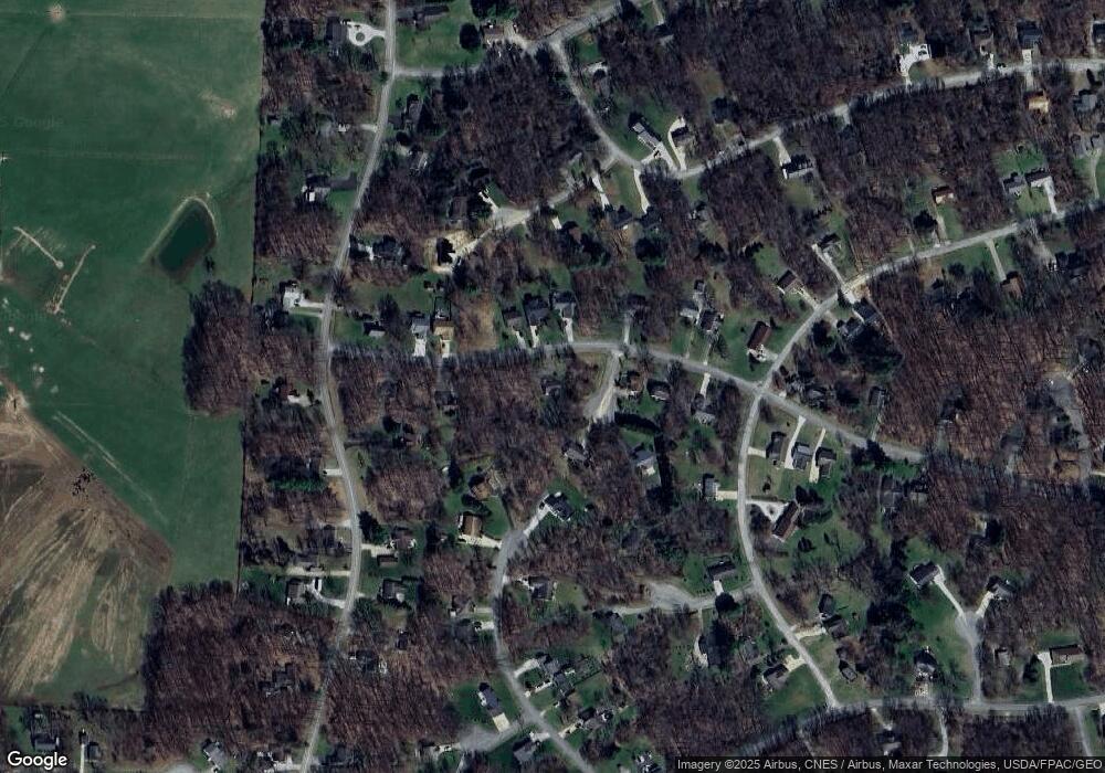
Map
Nearby Homes
- 43 Hawkeye Ct
- 629 Mcintosh Dr
- 561 Mcintosh Dr
- 177 Lakeview Heights Dr
- 1709 Apple Valley Dr
- 232 Northern Spy Dr
- 610 Crabapple Dr
- 531 Crabapple Dr
- 770 Winesap Cir
- 890 Winesap Dr
- 882 Winesap Dr
- 882 Winesap Dr Unit 197
- 879 Winesap Dr
- 667 Winesap Cir
- 535 Green Acre Cir
- 719 Winesap Cir
- 406 Crabapple Dr
- 512 Greenacre Cir
- 0 Berry Rd
- 0 Berry Rd Unit 9067495
- Lot #57 Hawkeye Ct
- 51 Hawkeye Ct
- 128 Northern Spy Dr
- 42 Hawkeye Ct
- 132 Northern Spy Dr
- 124 Northern Spy Dr
- 153 Northern Spy Dr
- 113 Northern Spy Dr
- 46 Hawkeye Ct
- 144 Northern Spy Dr
- 112 Northern Spy Dr
- 31 Cherry Hill Ct
- 161 Northern Spy Dr
- 152 Northern Spy Dr
- 67 Laurel Heights Ct
- 38 Cherry Hill Ct
- 105 Northern Spy Dr
- 18 Ben Davis Ct
- 156 Northern Spy Dr
- 23 Cherry Hill Ct