129 Robert Rogers Rd Dunbarton, NH 03046
Estimated Value: $603,251 - $731,000
2
Beds
2
Baths
2,212
Sq Ft
$293/Sq Ft
Est. Value
About This Home
This home is located at 129 Robert Rogers Rd, Dunbarton, NH 03046 and is currently estimated at $647,813, approximately $292 per square foot. 129 Robert Rogers Rd is a home located in Merrimack County with nearby schools including Dunbarton Elementary School, Bow Memorial School, and Bow High School.
Ownership History
Date
Name
Owned For
Owner Type
Purchase Details
Closed on
Apr 19, 2001
Sold by
Psaledas James R and Psaledas Sheila P
Bought by
Pomfret Carolyn E
Current Estimated Value
Home Financials for this Owner
Home Financials are based on the most recent Mortgage that was taken out on this home.
Original Mortgage
$214,400
Interest Rate
6.9%
Purchase Details
Closed on
Jan 29, 1986
Bought by
Pomfret Carolyn E
Create a Home Valuation Report for This Property
The Home Valuation Report is an in-depth analysis detailing your home's value as well as a comparison with similar homes in the area
Home Values in the Area
Average Home Value in this Area
Purchase History
| Date | Buyer | Sale Price | Title Company |
|---|---|---|---|
| Pomfret Carolyn E | $268,000 | -- | |
| Pomfret Carolyn E | -- | -- |
Source: Public Records
Mortgage History
| Date | Status | Borrower | Loan Amount |
|---|---|---|---|
| Open | Pomfret Carolyn E | $193,000 | |
| Closed | Pomfret Carolyn E | $30,000 | |
| Closed | Pomfret Carolyn E | $198,500 | |
| Closed | Pomfret Carolyn E | $214,400 |
Source: Public Records
Tax History
| Year | Tax Paid | Tax Assessment Tax Assessment Total Assessment is a certain percentage of the fair market value that is determined by local assessors to be the total taxable value of land and additions on the property. | Land | Improvement |
|---|---|---|---|---|
| 2024 | $8,539 | $323,700 | $92,900 | $230,800 |
| 2023 | $8,277 | $323,700 | $92,900 | $230,800 |
| 2022 | $7,439 | $323,700 | $92,900 | $230,800 |
| 2021 | $7,578 | $323,700 | $92,900 | $230,800 |
| 2020 | $7,212 | $323,700 | $92,900 | $230,800 |
| 2018 | $6,135 | $272,300 | $76,800 | $195,500 |
| 2017 | $6,930 | $270,600 | $76,800 | $193,800 |
| 2016 | $6,489 | $270,600 | $76,800 | $193,800 |
| 2015 | $6,383 | $270,600 | $76,800 | $193,800 |
| 2014 | $5,824 | $275,500 | $76,800 | $198,700 |
| 2013 | $5,788 | $275,500 | $76,800 | $198,700 |
Source: Public Records
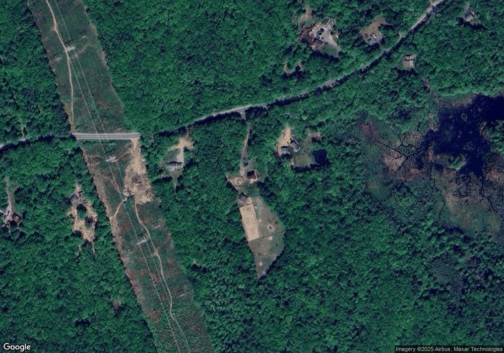
Map
Nearby Homes
- 15 Robert Rogers Rd
- 31 Barnard Hill Rd
- 192 Grapevine Rd
- 43 Sterling Place
- 0 Brown Hill Rd Unit 5032600
- 0 Fairway Dr Unit 11
- 22 Fairway Dr
- 13 van Ger Dr
- 60 Snow Rd
- 8 Longview Dr
- 100 Allen Rd
- 104 White Rock Hill Rd
- 107 Page Rd
- 13 Birchdale Rd
- 29 S Bow Dunbarton Rd
- 6 Abbey Rd
- 3 Abbey Rd
- 77 White Rock Hill Rd
- 30 Horizon Dr
- 22 Bow Bog Rd
- 115 Robert Rogers Rd
- 131 Robert Rogers Rd
- 103 Robert Rogers Rd
- 141 Robert Rogers Rd
- 99 Robert Rogers Rd
- 146 Robert Rogers Rd
- 149 Robert Rogers Rd
- 10 Rangeway Rd
- 40 Rangeway Rd
- 157 Robert Rogers Rd
- 20 Rangeway Rd
- 165 Robert Rogers Rd
- 1 Rangeway Rd
- 80 Robert Rogers Rd
- 50 Rangeway Rd
- O Gile Hill Rd
- 167 Robert Rogers Rd
- 0 Rangeway Rd Unit D4-01-02
- 11 Rangeway Rd
- 52 Rangeway Rd
Your Personal Tour Guide
Ask me questions while you tour the home.