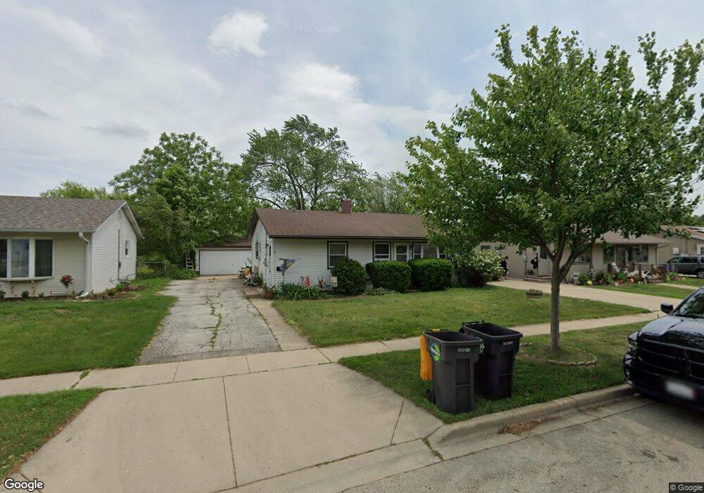
129 S Maxon Ln Streamwood, IL 60107
Estimated Value: $277,000 - $297,000
3
Beds
1
Bath
1,060
Sq Ft
$269/Sq Ft
Est. Value
About This Home
This home is located at 129 S Maxon Ln, Streamwood, IL 60107 and is currently estimated at $285,169, approximately $269 per square foot. 129 S Maxon Ln is a home located in Cook County with nearby schools including Oakhill Elementary School, Canton Middle School, and Streamwood High School.
Ownership History
Date
Name
Owned For
Owner Type
Purchase Details
Closed on
Apr 20, 2001
Sold by
Deady John F and Marsh Margaret
Bought by
Verstat Jerry P and Verstat Mary B
Current Estimated Value
Home Financials for this Owner
Home Financials are based on the most recent Mortgage that was taken out on this home.
Original Mortgage
$132,051
Outstanding Balance
$47,059
Interest Rate
7.07%
Mortgage Type
FHA
Estimated Equity
$238,110
Create a Home Valuation Report for This Property
The Home Valuation Report is an in-depth analysis detailing your home's value as well as a comparison with similar homes in the area
Home Values in the Area
Average Home Value in this Area
Purchase History
| Date | Buyer | Sale Price | Title Company |
|---|---|---|---|
| Verstat Jerry P | $139,000 | -- |
Source: Public Records
Mortgage History
| Date | Status | Borrower | Loan Amount |
|---|---|---|---|
| Open | Verstat Jerry P | $132,051 |
Source: Public Records
Tax History
| Year | Tax Paid | Tax Assessment Tax Assessment Total Assessment is a certain percentage of the fair market value that is determined by local assessors to be the total taxable value of land and additions on the property. | Land | Improvement |
|---|---|---|---|---|
| 2025 | $5,139 | $23,000 | $4,620 | $18,380 |
| 2024 | $5,139 | $20,000 | $3,300 | $16,700 |
| 2023 | $4,973 | $20,000 | $3,300 | $16,700 |
| 2022 | $4,973 | $20,000 | $3,300 | $16,700 |
| 2021 | $4,408 | $15,389 | $2,310 | $13,079 |
| 2020 | $4,416 | $15,389 | $2,310 | $13,079 |
| 2019 | $4,429 | $17,291 | $2,310 | $14,981 |
| 2018 | $4,144 | $15,202 | $1,980 | $13,222 |
| 2017 | $4,108 | $15,202 | $1,980 | $13,222 |
| 2016 | $4,115 | $15,202 | $1,980 | $13,222 |
| 2015 | $4,046 | $14,031 | $1,815 | $12,216 |
| 2014 | $4,004 | $14,031 | $1,815 | $12,216 |
| 2013 | $3,860 | $14,031 | $1,815 | $12,216 |
Source: Public Records
Map
Nearby Homes
- 17 S Bartlett Rd
- 120 Grow Ln
- 305 S Bartlett Rd
- 110 Elm Ln
- 4 Haverton Ct Unit 2003
- 110 Cedar Cir
- 58 Marion Ln
- 400 Country Ln
- 317 E Schaumburg Rd
- 11 E Streamwood Blvd
- 40 Jackson Ln
- 62 Washington Ave
- 28 Chaucer Ln
- 416 Concord Dr
- 107 W Streamwood Blvd
- 12 E Pine St
- 425 Walnut Dr
- 820 S Pine St
- 301 Villa Rd
- 601 Ridgewood Rd
- 127 S Maxon Ln
- 131 S Maxon Ln
- 122 S Chestnut Dr
- 133 S Maxon Ln
- 125 S Maxon Ln
- 118 S Chestnut Dr Unit 2
- 124 S Chestnut Dr
- 128 S Maxon Ln
- 126 S Maxon Ln
- 135 S Maxon Ln
- 123 S Maxon Ln
- 130 S Maxon Ln
- 116 S Chestnut Dr
- 124 S Maxon Ln
- 132 S Maxon Ln
- 122 S Maxon Ln
- 121 S Maxon Ln
- 137 S Maxon Ln
- 206 E Streamwood Blvd
- 126 S Chestnut Dr
Your Personal Tour Guide
Ask me questions while you tour the home.