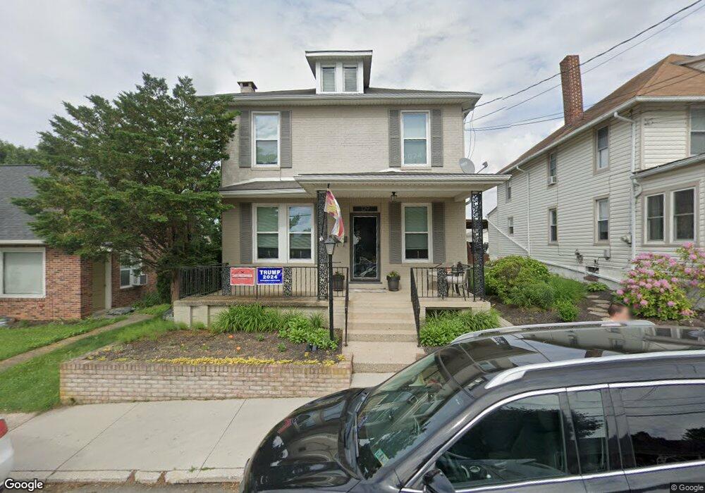
129 S Park St Dallastown, PA 17313
Estimated Value: $202,000 - $223,000
3
Beds
1
Bath
1,616
Sq Ft
$129/Sq Ft
Est. Value
About This Home
This home is located at 129 S Park St, Dallastown, PA 17313 and is currently estimated at $208,373, approximately $128 per square foot. 129 S Park St is a home located in York County with nearby schools including Dallastown Elementary School, Dallastown Area Middle School, and Dallastown Area High School.
Ownership History
Date
Name
Owned For
Owner Type
Purchase Details
Closed on
May 30, 2003
Sold by
Billet Lori A
Bought by
Rollman Todd and Rollman Fonda
Current Estimated Value
Home Financials for this Owner
Home Financials are based on the most recent Mortgage that was taken out on this home.
Original Mortgage
$72,000
Outstanding Balance
$30,967
Interest Rate
5.53%
Mortgage Type
Purchase Money Mortgage
Estimated Equity
$177,406
Purchase Details
Closed on
Jul 24, 2002
Sold by
Billet Lori A and Rollman Todd A
Bought by
Billet Lori A
Purchase Details
Closed on
Jul 6, 2001
Sold by
Warner Bridget E
Bought by
Rollman Anna Mae
Home Financials for this Owner
Home Financials are based on the most recent Mortgage that was taken out on this home.
Original Mortgage
$79,900
Interest Rate
7.14%
Purchase Details
Closed on
Jul 14, 1998
Sold by
Warner William E and Warner Rebecca A
Bought by
Warner Bridget E
Create a Home Valuation Report for This Property
The Home Valuation Report is an in-depth analysis detailing your home's value as well as a comparison with similar homes in the area
Home Values in the Area
Average Home Value in this Area
Purchase History
| Date | Buyer | Sale Price | Title Company |
|---|---|---|---|
| Rollman Todd | $90,000 | -- | |
| Billet Lori A | -- | -- | |
| Rollman Anna Mae | $79,900 | -- | |
| Warner Bridget E | -- | -- |
Source: Public Records
Mortgage History
| Date | Status | Borrower | Loan Amount |
|---|---|---|---|
| Open | Rollman Todd | $72,000 | |
| Closed | Rollman Anna Mae | $79,900 | |
| Closed | Rollman Todd | $18,000 |
Source: Public Records
Tax History Compared to Growth
Tax History
| Year | Tax Paid | Tax Assessment Tax Assessment Total Assessment is a certain percentage of the fair market value that is determined by local assessors to be the total taxable value of land and additions on the property. | Land | Improvement |
|---|---|---|---|---|
| 2025 | $3,355 | $96,590 | $23,140 | $73,450 |
| 2024 | $3,355 | $96,590 | $23,140 | $73,450 |
| 2023 | $3,355 | $96,590 | $23,140 | $73,450 |
| 2022 | $3,248 | $96,590 | $23,140 | $73,450 |
| 2021 | $3,063 | $96,590 | $23,140 | $73,450 |
| 2020 | $3,063 | $96,590 | $23,140 | $73,450 |
| 2019 | $3,053 | $96,590 | $23,140 | $73,450 |
| 2018 | $3,053 | $96,590 | $23,140 | $73,450 |
| 2017 | $2,934 | $96,590 | $23,140 | $73,450 |
| 2016 | $0 | $96,590 | $23,140 | $73,450 |
| 2015 | -- | $96,590 | $23,140 | $73,450 |
| 2014 | -- | $96,590 | $23,140 | $73,450 |
Source: Public Records
Map
Nearby Homes
- 64 S Pleasant Ave
- 260 Country Ridge Dr
- 197 S Main St
- 126 Country Ridge Dr
- 156 Country Ridge Dr
- 131 Country Ridge Dr
- 74 S Main St
- 253 W Chestnut St Unit 11
- 840 Country Club Rd
- 136 Teila Dr
- 137 Furlong Way
- 141 W Water St
- 400 Carriage Ln Unit 400
- 131 N Cedar St
- 79 S Franklin St
- 424 Dartha Dr
- 428 W Main St
- 0 Cape Horn Rd
- 3366 Cape Horn Rd
- 338 Atlantic Ave
- 131 S Park St
- 125 S Park St
- 133 S Park St
- 121 S Park St
- 137 S Park St
- 450 E Market Ave
- 139 S Park St
- 124 S Park St
- 119 S Park St
- 117 S Park St
- 130 S Park St
- 143 S Park St
- 118 S Park St
- 128 S Park St
- 144 S Park St
- 24 E Frederick St
- 26 E Frederick St
- 22 E Frederick St
- 28 E Frederick St
- 30 E Frederick St