129 Simon Ln Newport, ME 04953
Estimated Value: $348,000 - $459,041
2
Beds
1
Bath
1,648
Sq Ft
$244/Sq Ft
Est. Value
About This Home
This home is located at 129 Simon Ln, Newport, ME 04953 and is currently estimated at $402,347, approximately $244 per square foot. 129 Simon Ln is a home located in Penobscot County with nearby schools including Sebasticook Valley Elementary School and Nokomis Regional Middle School/High School.
Ownership History
Date
Name
Owned For
Owner Type
Purchase Details
Closed on
Jun 10, 2009
Sold by
Simon Attila I and Simon Karol K
Bought by
Vibert Robert K and Vibert Kristin E
Current Estimated Value
Home Financials for this Owner
Home Financials are based on the most recent Mortgage that was taken out on this home.
Original Mortgage
$138,000
Outstanding Balance
$87,425
Interest Rate
4.82%
Mortgage Type
Purchase Money Mortgage
Estimated Equity
$314,922
Create a Home Valuation Report for This Property
The Home Valuation Report is an in-depth analysis detailing your home's value as well as a comparison with similar homes in the area
Home Values in the Area
Average Home Value in this Area
Purchase History
| Date | Buyer | Sale Price | Title Company |
|---|---|---|---|
| Vibert Robert K | -- | -- |
Source: Public Records
Mortgage History
| Date | Status | Borrower | Loan Amount |
|---|---|---|---|
| Open | Vibert Robert K | $138,000 |
Source: Public Records
Tax History Compared to Growth
Tax History
| Year | Tax Paid | Tax Assessment Tax Assessment Total Assessment is a certain percentage of the fair market value that is determined by local assessors to be the total taxable value of land and additions on the property. | Land | Improvement |
|---|---|---|---|---|
| 2024 | $4,450 | $225,300 | $42,900 | $182,400 |
| 2023 | $4,398 | $225,300 | $42,900 | $182,400 |
| 2022 | $4,529 | $225,300 | $42,900 | $182,400 |
| 2021 | $4,529 | $225,300 | $42,900 | $182,400 |
| 2020 | $3,094 | $154,700 | $42,900 | $111,800 |
| 2019 | $2,608 | $135,500 | $42,900 | $92,600 |
| 2018 | $2,198 | $116,000 | $42,900 | $73,100 |
| 2017 | $2,063 | $112,100 | $39,000 | $73,100 |
| 2016 | $2,051 | $112,100 | $39,000 | $73,100 |
| 2015 | $1,684 | $94,600 | $39,000 | $55,600 |
| 2014 | $1,618 | $94,600 | $39,000 | $55,600 |
| 2013 | $1,608 | $94,600 | $39,000 | $55,600 |
Source: Public Records
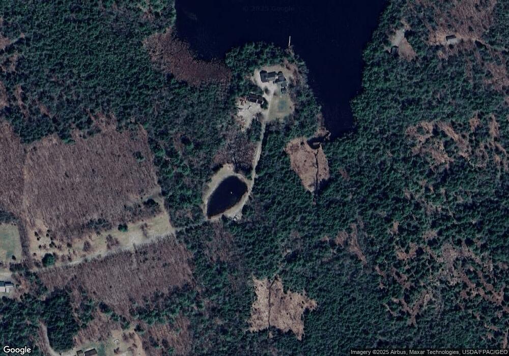
Map
Nearby Homes
- 1021 Greenbush Rd
- Lot 3-12 Shady Ln
- 106 Shady Ln
- 107 Shady Ln
- 36 Ireland Ave
- 5,7,9 Renewal St
- 80 Jordon Rd
- 279 Wolfboro Rd
- 37 Loon Dr
- 39 Burleigh Rd
- 009-007 Lilly Dr
- 267 E Newport Rd
- lot 5 Golf Course Cameo Sub Rd
- Lot 2 Golf Course Cameo Sub Rd
- 281 St Albans Rd
- 315 Golf Course Rd
- lot 6 Golf Course Rd Unit Lot 6
- Lot 010 Hope Rd
- 965 Mount Pleasant Rd
- 813 Dexter Rd
- 233 Pratt Rd
- 51 Simon Ln
- 219 Pratt Rd
- 203 Pratt Rd
- Lot #4 Brooks Pond Dr
- 32 Brooks Pond Dr
- 246 Pratt Rd
- 1 Brooks Pond Dr
- 6 Brooks Pond Roa D
- lot 6 Brooks Pond Rd
- 6 Brooks Pond Rd
- 6 Brooks Pond Dr
- 72 Brooks Pond Dr
- 2 Brooks Pond Dr
- 215 Pratt Rd
- 0 Brooks Pond Rd Unit 393069
- 0 Brooks Pond Rd Unit 641077
- 0 Brooks Pond Dr Unit 956378
- 0 Brooks Pond Dr Unit 956379
- 0 Brooks Pond Dr Unit 960318