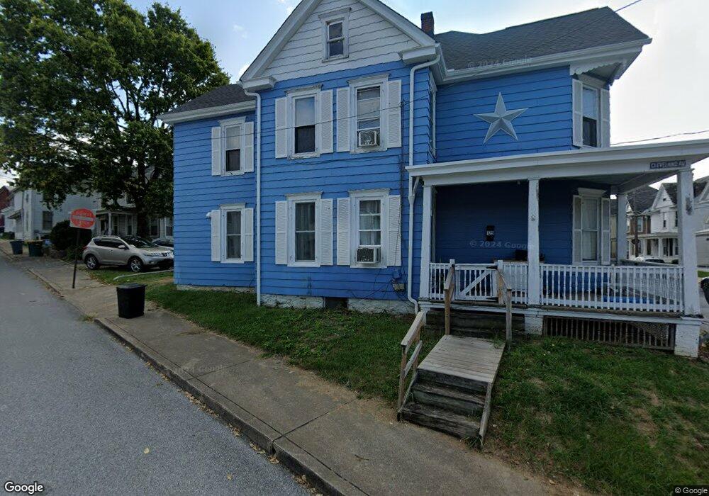
129 W 2nd St Waynesboro, PA 17268
Estimated Value: $135,000 - $240,000
--
Bed
--
Bath
1,656
Sq Ft
$109/Sq Ft
Est. Value
About This Home
This home is located at 129 W 2nd St, Waynesboro, PA 17268 and is currently estimated at $181,000, approximately $109 per square foot. 129 W 2nd St is a home located in Franklin County with nearby schools including Waynesboro Area Senior High School, St. Andrew Catholic School, and Noah's Ark Christian Child Care Center.
Ownership History
Date
Name
Owned For
Owner Type
Purchase Details
Closed on
Mar 5, 2021
Sold by
Mehta Meghna Manish
Bought by
Coombs Zachary J and Coombs Shelley E
Current Estimated Value
Home Financials for this Owner
Home Financials are based on the most recent Mortgage that was taken out on this home.
Original Mortgage
$69,750
Interest Rate
2.7%
Mortgage Type
New Conventional
Purchase Details
Closed on
May 21, 2018
Sold by
Bank National Association
Bought by
Mehta Meghna Manish
Create a Home Valuation Report for This Property
The Home Valuation Report is an in-depth analysis detailing your home's value as well as a comparison with similar homes in the area
Home Values in the Area
Average Home Value in this Area
Purchase History
| Date | Buyer | Sale Price | Title Company |
|---|---|---|---|
| Coombs Zachary J | $93,000 | Keystone Re Stlmt Svcs Inc | |
| Mehta Meghna Manish | $45,160 | Nationallink |
Source: Public Records
Mortgage History
| Date | Status | Borrower | Loan Amount |
|---|---|---|---|
| Previous Owner | Coombs Zachary J | $69,750 |
Source: Public Records
Tax History Compared to Growth
Tax History
| Year | Tax Paid | Tax Assessment Tax Assessment Total Assessment is a certain percentage of the fair market value that is determined by local assessors to be the total taxable value of land and additions on the property. | Land | Improvement |
|---|---|---|---|---|
| 2025 | $1,952 | $10,770 | $850 | $9,920 |
| 2024 | $1,903 | $10,770 | $850 | $9,920 |
| 2023 | $1,861 | $10,770 | $850 | $9,920 |
| 2022 | $1,699 | $10,150 | $850 | $9,300 |
| 2021 | $1,612 | $10,150 | $850 | $9,300 |
| 2020 | $1,600 | $10,150 | $850 | $9,300 |
| 2019 | $1,569 | $10,150 | $850 | $9,300 |
| 2018 | $1,393 | $9,550 | $250 | $9,300 |
| 2017 | $1,367 | $9,550 | $250 | $9,300 |
| 2016 | $274 | $9,550 | $250 | $9,300 |
| 2015 | $255 | $9,550 | $250 | $9,300 |
| 2014 | $255 | $9,550 | $250 | $9,300 |
Source: Public Records
Map
Nearby Homes
- 115 W 2nd St
- 144 W Main St
- 145 W Main St
- 0 N Church St Unit PAFL2029878
- 0 N Church St Unit PAFL2027222
- Frankford Plan at Pheasant Run
- Ruby Plan at Pheasant Run
- Pearl Plan at Pheasant Run
- Emerald Plan at Pheasant Run
- Hanover Plan at Pheasant Run
- Avondale Plan at Pheasant Run
- Hamilton Plan at Pheasant Run
- Topaz Plan at Pheasant Run
- Bradford Plan at Pheasant Run
- Sussex Plan at Pheasant Run
- Bristol II Plan at Pheasant Run
- Opal Plan at Pheasant Run
- Roosevelt Plan at Pheasant Run
- 109 Garfield St
- 208 Hamilton Ave