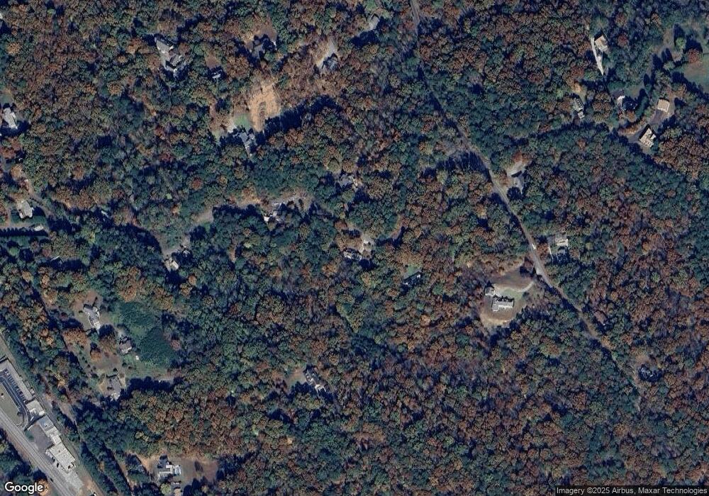
129 W Boling Dr Jasper, GA 30143
Estimated Value: $434,947 - $554,000
Studio
3
Baths
2,366
Sq Ft
$201/Sq Ft
Est. Value
About This Home
This home is located at 129 W Boling Dr, Jasper, GA 30143 and is currently estimated at $474,649, approximately $200 per square foot. 129 W Boling Dr is a home located in Pickens County with nearby schools including Tate Elementary School, Pickens County Middle School, and Pickens County High School.
Ownership History
Date
Name
Owned For
Owner Type
Purchase Details
Closed on
Feb 20, 1992
Sold by
Pickens County Bank
Bought by
Smith Hubert K and Smith Joyce J
Current Estimated Value
Purchase Details
Closed on
May 13, 1991
Sold by
Chumley Johnny
Bought by
Pickens County Bank
Purchase Details
Closed on
Jul 20, 1989
Sold by
Chumley Johnny and Chumley Pamela
Bought by
Chumley Johnny
Purchase Details
Closed on
Jun 5, 1987
Sold by
White J L
Bought by
Chumley Johnny and Chumley Pamela
Purchase Details
Closed on
Feb 19, 1986
Sold by
Luse James David
Bought by
White J L
Purchase Details
Closed on
Sep 6, 1983
Bought by
Luse James David
Create a Home Valuation Report for This Property
The Home Valuation Report is an in-depth analysis detailing your home's value as well as a comparison with similar homes in the area
Home Values in the Area
Average Home Value in this Area
Purchase History
| Date | Buyer | Sale Price | Title Company |
|---|---|---|---|
| Smith Hubert K | $87,000 | -- | |
| Pickens County Bank | $79,300 | -- | |
| Chumley Johnny | -- | -- | |
| Chumley Johnny | $10,500 | -- | |
| White J L | $6,400 | -- | |
| Luse James David | $7,500 | -- |
Source: Public Records
Tax History
| Year | Tax Paid | Tax Assessment Tax Assessment Total Assessment is a certain percentage of the fair market value that is determined by local assessors to be the total taxable value of land and additions on the property. | Land | Improvement |
|---|---|---|---|---|
| 2025 | $2,124 | $123,963 | $23,023 | $100,940 |
| 2024 | $2,347 | $123,612 | $23,023 | $100,589 |
| 2023 | $2,412 | $123,612 | $23,023 | $100,589 |
| 2022 | $2,412 | $123,612 | $23,023 | $100,589 |
| 2021 | $1,265 | $63,074 | $17,290 | $45,784 |
| 2020 | $1,303 | $63,074 | $17,290 | $45,784 |
| 2019 | $1,333 | $63,074 | $17,290 | $45,784 |
| 2018 | $1,346 | $63,074 | $17,290 | $45,784 |
| 2017 | $1,366 | $62,998 | $17,214 | $45,784 |
| 2016 | $1,388 | $62,998 | $17,214 | $45,784 |
| 2015 | $1,356 | $62,998 | $17,214 | $45,784 |
| 2014 | $1,359 | $62,998 | $17,214 | $45,784 |
| 2013 | -- | $62,998 | $17,214 | $45,784 |
Source: Public Records
Map
Nearby Homes
- 426 & 334 Old Cove Rd S
- 426 & 334 Old Cove Rd S
- 348 Old Tate Rd
- 3.11 AC Cove Rd
- 64 Brittany Ct Unit 15
- 3.11 Acres Cove Rd
- 30 Brittany Ct Unit 20
- 57 Towne Club Dr
- 24 N Rim Dr
- 28 Sandstone Dr
- 190 Towne Villas Dr
- 19N Fox Run Ln
- 87 Jones St
- 80 Jones St
- 19 Grand Cir
- 109 Grand Cir
- 351 Grand Cir
- 150 Babcock Rd
- 8266 Cox Mountain Dr
- 365 Summit View Ln
- 103 W Boling Dr
- 200 E Boling Rd
- 426 Old Cove Rd S
- 35 Cagle Ridge
- 368 Still Hollow Rd
- 438 Still Hollow Rd
- 113 W Laurel Trace
- W W Laurel Trace
- 347 Still Hollow Rd
- 417 Still Hollow Rd
- 10.27 Highway 108 Unit 161
- 10.27 Highway 108
- 3 Ac Rushing Waters Ct
- 4 Hazel Mosely Dr
- 116 W Laurel Trace
- 275 Old Cove Rd S
- 275 Old Cove Rd S
- 90 W Laurel Trace
- 526 Still Hollow Rd
- 323 Still Hollow Rd
Your Personal Tour Guide
Ask me questions while you tour the home.
