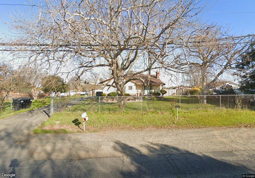
129 W M St Rio Linda, CA 95673
Estimated Value: $612,000 - $834,000
4
Beds
3
Baths
1,928
Sq Ft
$369/Sq Ft
Est. Value
About This Home
This home is located at 129 W M St, Rio Linda, CA 95673 and is currently estimated at $711,322, approximately $368 per square foot. 129 W M St is a home located in Sacramento County with nearby schools including Westside Elementary School, Rio Linda Preparatory Academy, and Paseo Grande Charter.
Ownership History
Date
Name
Owned For
Owner Type
Purchase Details
Closed on
Nov 18, 2005
Sold by
Towns Susan J and Lachenmeier Sharon A
Bought by
Avtar Jassi
Current Estimated Value
Home Financials for this Owner
Home Financials are based on the most recent Mortgage that was taken out on this home.
Original Mortgage
$400,000
Outstanding Balance
$218,228
Interest Rate
5.97%
Mortgage Type
Stand Alone First
Estimated Equity
$493,094
Purchase Details
Closed on
Sep 6, 2001
Sold by
Sackreiter Clarence M
Bought by
Sackreiter Clarence M
Create a Home Valuation Report for This Property
The Home Valuation Report is an in-depth analysis detailing your home's value as well as a comparison with similar homes in the area
Home Values in the Area
Average Home Value in this Area
Purchase History
| Date | Buyer | Sale Price | Title Company |
|---|---|---|---|
| Avtar Jassi | $505,000 | Commonwealth Land Title Co | |
| Sackreiter Clarence M | -- | -- |
Source: Public Records
Mortgage History
| Date | Status | Borrower | Loan Amount |
|---|---|---|---|
| Open | Avtar Jassi | $400,000 |
Source: Public Records
Tax History Compared to Growth
Tax History
| Year | Tax Paid | Tax Assessment Tax Assessment Total Assessment is a certain percentage of the fair market value that is determined by local assessors to be the total taxable value of land and additions on the property. | Land | Improvement |
|---|---|---|---|---|
| 2025 | $8,080 | $900,591 | $206,344 | $694,247 |
| 2024 | $8,080 | $702,000 | $211,000 | $491,000 |
| 2023 | $7,828 | $662,000 | $245,000 | $417,000 |
| 2022 | $7,840 | $690,895 | $138,178 | $552,717 |
| 2021 | $7,974 | $690,895 | $138,178 | $552,717 |
| 2020 | $7,041 | $608,719 | $121,743 | $486,976 |
| 2019 | $6,566 | $563,629 | $112,725 | $450,904 |
| 2018 | $5,949 | $526,757 | $105,351 | $421,406 |
| 2017 | $5,663 | $478,871 | $95,774 | $383,097 |
| 2016 | $5,074 | $420,063 | $84,013 | $336,050 |
| 2015 | $4,404 | $381,876 | $76,376 | $305,500 |
| 2014 | $4,407 | $367,188 | $73,438 | $293,750 |
Source: Public Records
Map
Nearby Homes
- 6626 Kenora St
- 6544 Sunview Way
- 7133 W 2nd St
- 7029 W 4th St
- 7000 Marysville Blvd
- 7000 Rio Linda Blvd
- 325 Archway Ave
- 7313 Little Acorn Way
- 437 Silver Crest Cir
- 518 Jamie Ct
- 619 Quebec Way
- 6918 7th St
- 539 Harling Ct
- 429 Arlingdale Cir
- 330 Willis Ave
- 421 Penn Central Ct
- 7024 10th St
- 7744 Elmont Ave
- 151 W Delano St
- 0 W Delano St Unit 224130721
- 6832 W 2nd St
- 6747 Sun Acer Way
- 6746 W 2nd St
- 6746 Sun Acer Way
- 6838 W 2nd St
- 6743 Sun Acer Way
- 6742 W 2nd St
- 6742 Sun Acer Way
- 125 W M St
- 6747 Sun Brae Ct
- 6825 W 2nd St
- 6739 Sun Acer Way
- 6846 W 2nd St
- 6833 W 2nd St
- 6738 W 2nd St
- 6738 Sun Acer Way
- 6747 W 2nd St
- 6837 W 2nd St
- 6735 Sun Acer Way
- 6734 W 2nd St