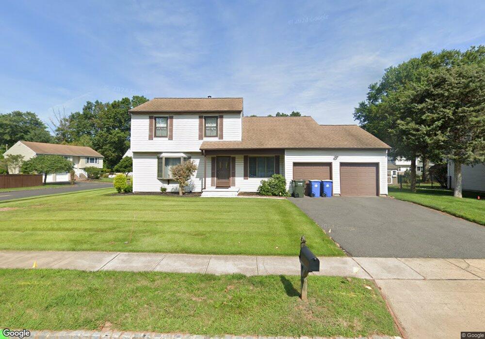
129 Wescott Rd Hillsborough, NJ 08844
Estimated Value: $605,052 - $704,000
--
Bed
--
Bath
1,918
Sq Ft
$351/Sq Ft
Est. Value
About This Home
This home is located at 129 Wescott Rd, Hillsborough, NJ 08844 and is currently estimated at $672,263, approximately $350 per square foot. 129 Wescott Rd is a home located in Somerset County with nearby schools including Hillsborough High School, Cherry Blossom Montessori School, and Brighthorizons at Hillsborough.
Create a Home Valuation Report for This Property
The Home Valuation Report is an in-depth analysis detailing your home's value as well as a comparison with similar homes in the area
Home Values in the Area
Average Home Value in this Area
Tax History Compared to Growth
Tax History
| Year | Tax Paid | Tax Assessment Tax Assessment Total Assessment is a certain percentage of the fair market value that is determined by local assessors to be the total taxable value of land and additions on the property. | Land | Improvement |
|---|---|---|---|---|
| 2025 | $11,536 | $579,100 | $327,300 | $251,800 |
| 2024 | $11,536 | $538,300 | $302,300 | $236,000 |
| 2023 | $10,459 | $485,800 | $292,300 | $193,500 |
| 2022 | $10,479 | $469,300 | $292,300 | $177,000 |
| 2021 | $9,521 | $405,500 | $227,300 | $178,200 |
| 2020 | $9,574 | $401,600 | $222,300 | $179,300 |
| 2019 | $9,200 | $382,700 | $202,300 | $180,400 |
| 2018 | $9,042 | $373,800 | $192,300 | $181,500 |
| 2017 | $9,076 | $375,800 | $192,300 | $183,500 |
| 2016 | $9,002 | $372,900 | $192,300 | $180,600 |
| 2015 | $8,990 | $377,100 | $177,300 | $199,800 |
| 2014 | $8,428 | $361,100 | $167,300 | $193,800 |
Source: Public Records
Map
Nearby Homes
- 710 Whitenack Ct
- 0 Amwell Rd
- 104 Devonshire Ct
- 4 Marshall Rd
- 68 Dunedain St
- 71 Buckland Dr
- 912 Merritt Dr Unit D
- 7 Monfort Dr
- 911 Merritt Dr Unit B2
- 897 Merritt Dr Unit D
- 59 Wesley Rd
- 277 Gemini Dr Unit 1B
- 106 Perrine Pike
- 118 Bluebird Dr Unit 3A
- 3120 Revere Ct
- 3011 Revere Ct
- 3007 Revere Ct
- 807 Eves Dr Unit 1B
- 806 Eves Dr Unit 1B
- 3320 Richmond Ct