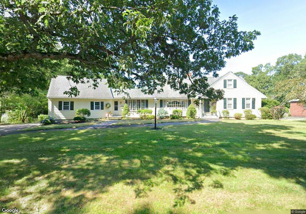
129 Westview Rd Lowell, MA 01851
Highlands NeighborhoodEstimated Value: $900,000 - $1,132,000
4
Beds
3
Baths
3,546
Sq Ft
$281/Sq Ft
Est. Value
About This Home
This home is located at 129 Westview Rd, Lowell, MA 01851 and is currently estimated at $998,188, approximately $281 per square foot. 129 Westview Rd is a home located in Middlesex County with nearby schools including Charles W. Morey Elementary School, Dr. Gertrude Bailey Elementary School, and Abraham Lincoln Elementary School.
Ownership History
Date
Name
Owned For
Owner Type
Purchase Details
Closed on
Sep 9, 2004
Sold by
Mccrary Nanette J and Mccrary Patrick C
Bought by
Kazanjian Alan W and Kazanjian Sue Ellen
Current Estimated Value
Purchase Details
Closed on
Jan 10, 2000
Sold by
Walsh Edward J
Bought by
Mccrary Patrick C and Mccrary Nanette J
Create a Home Valuation Report for This Property
The Home Valuation Report is an in-depth analysis detailing your home's value as well as a comparison with similar homes in the area
Home Values in the Area
Average Home Value in this Area
Purchase History
| Date | Buyer | Sale Price | Title Company |
|---|---|---|---|
| Kazanjian Alan W | $594,750 | -- | |
| Kazanjian Alan W | $594,750 | -- | |
| Mccrary Patrick C | $312,500 | -- | |
| Mccrary Patrick C | $312,500 | -- |
Source: Public Records
Mortgage History
| Date | Status | Borrower | Loan Amount |
|---|---|---|---|
| Open | Mccrary Patrick C | $396,000 | |
| Open | Mccrary Patrick C | $1,335,000 |
Source: Public Records
Tax History
| Year | Tax Paid | Tax Assessment Tax Assessment Total Assessment is a certain percentage of the fair market value that is determined by local assessors to be the total taxable value of land and additions on the property. | Land | Improvement |
|---|---|---|---|---|
| 2025 | $10,296 | $896,900 | $235,200 | $661,700 |
| 2024 | $9,545 | $801,400 | $201,800 | $599,600 |
| 2023 | $9,478 | $763,100 | $175,400 | $587,700 |
| 2022 | $9,202 | $725,100 | $159,800 | $565,300 |
| 2021 | $8,705 | $646,700 | $139,300 | $507,400 |
| 2020 | $8,354 | $625,300 | $124,400 | $500,900 |
| 2019 | $8,609 | $613,200 | $124,600 | $488,600 |
| 2018 | $8,290 | $576,100 | $118,800 | $457,300 |
| 2017 | $7,837 | $525,300 | $108,000 | $417,300 |
| 2016 | $7,760 | $511,900 | $111,500 | $400,400 |
| 2015 | $7,646 | $493,900 | $107,700 | $386,200 |
| 2013 | $6,759 | $450,300 | $124,900 | $325,400 |
Source: Public Records
Map
Nearby Homes
- 142 Sanders Ave
- 694 Westford St
- 977 Westford St Unit 4
- 4 Tamarack St
- 137 Pine St Unit 11
- 138 W Forest St
- 45 Harvard St Unit 5 3rd fl
- 11 Warwick St Unit 3
- 108 Inland St
- 94 D St
- 85 B St
- 1311 Middlesex St
- 312 Wilder St
- 18 Burgess St
- 11 Joyce St
- 49 Marginal St
- 525 Chelmsford St
- 186 Powell St
- 339 Pawtucket Blvd Unit 19
- 295 Pawtucket Blvd Unit 7
- 129 Westview Rd Unit 129
- 115 Westview Rd
- 141 Westview Rd
- 151 Westview Rd
- 130 Westview Rd
- 107 Westview Rd
- 120 Westview Rd
- 161 Westview Rd
- 101 Westview Rd
- 110 Westview Rd
- 150 Westview Rd
- 167 Westview Rd
- 1 Colonial Park Dr
- 9 Colonial Park Dr
- 94 Westview Rd
- Lot 4 Westview Dr
- 173 Westview Rd
- 87 Westview Rd
- 176 Westview Rd
- 88 Westview Rd
Your Personal Tour Guide
Ask me questions while you tour the home.