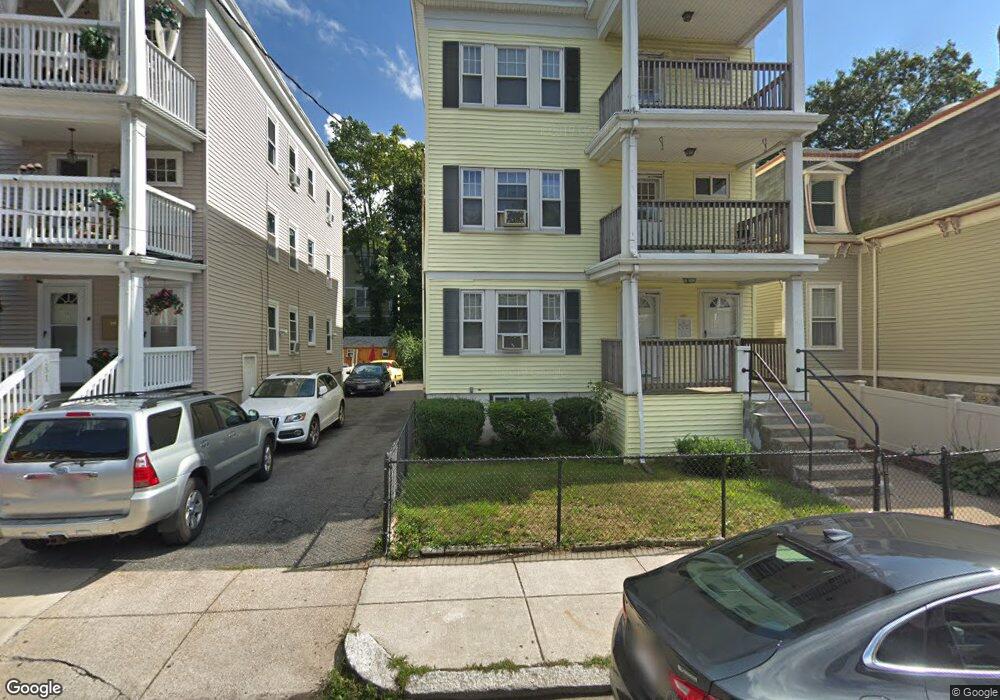
129 Wrentham St Unit 129A Dorchester Center, MA 02124
Ashmont NeighborhoodEstimated Value: $850,690 - $1,155,000
6
Beds
3
Baths
3,432
Sq Ft
$287/Sq Ft
Est. Value
About This Home
This home is located at 129 Wrentham St Unit 129A, Dorchester Center, MA 02124 and is currently estimated at $984,673, approximately $286 per square foot. 129 Wrentham St Unit 129A is a home located in Suffolk County with nearby schools including Neighborhood House Charter School and Epiphany School.
Ownership History
Date
Name
Owned For
Owner Type
Purchase Details
Closed on
Aug 27, 1998
Sold by
Clark Albert R and Clark Rosamaria M
Bought by
Sanders Marvin L
Current Estimated Value
Purchase Details
Closed on
Dec 17, 1992
Sold by
Mulligan Helen A
Bought by
Clark Albert R and Clark Rosamaria M
Create a Home Valuation Report for This Property
The Home Valuation Report is an in-depth analysis detailing your home's value as well as a comparison with similar homes in the area
Home Values in the Area
Average Home Value in this Area
Purchase History
| Date | Buyer | Sale Price | Title Company |
|---|---|---|---|
| Sanders Marvin L | $170,000 | -- | |
| Clark Albert R | $165,000 | -- |
Source: Public Records
Mortgage History
| Date | Status | Borrower | Loan Amount |
|---|---|---|---|
| Open | Clark Albert R | $300,000 | |
| Closed | Clark Albert R | $215,000 | |
| Closed | Clark Albert R | $218,000 |
Source: Public Records
Tax History Compared to Growth
Tax History
| Year | Tax Paid | Tax Assessment Tax Assessment Total Assessment is a certain percentage of the fair market value that is determined by local assessors to be the total taxable value of land and additions on the property. | Land | Improvement |
|---|---|---|---|---|
| 2025 | $10,553 | $911,300 | $268,800 | $642,500 |
| 2024 | $10,159 | $932,000 | $280,100 | $651,900 |
| 2023 | $10,010 | $932,000 | $280,100 | $651,900 |
| 2022 | $9,054 | $832,200 | $250,100 | $582,100 |
| 2021 | $8,457 | $792,600 | $238,200 | $554,400 |
| 2020 | $7,234 | $685,000 | $247,500 | $437,500 |
| 2019 | $6,567 | $623,100 | $181,100 | $442,000 |
| 2018 | $6,523 | $622,400 | $180,700 | $441,700 |
| 2017 | $6,160 | $581,700 | $180,700 | $401,000 |
| 2016 | $5,663 | $514,800 | $180,700 | $334,100 |
| 2015 | $5,246 | $433,200 | $154,400 | $278,800 |
| 2014 | $4,910 | $390,300 | $154,400 | $235,900 |
Source: Public Records
Map
Nearby Homes
- 51 Florida St Unit 3
- 543 Adams St Unit 24
- 80-84 Shepton St Unit 80-3
- 61 Shepton St
- 54 Msgr Patrick j Lydon Way
- 45 Msgr Patrick j Lydon Way
- 37 Msgr Patrick j Lydon Way
- 9-11 Adanac Terrace
- 80 Beaumont St Unit 101
- 41 King St Unit 1
- 701 Adams St Unit 9
- 37 Westmoreland St
- 33 Westmoreland St
- 18 Santuit St
- 40 Westmoreland St Unit 8
- 23 Roseland St
- 251 Minot St Unit 6
- 96 King St Unit 1
- 334 Centre St Unit 101
- 334 Centre St Unit 2
- 131 Wrentham St Unit 131A
- 125 Wrentham St
- 125 Wrentham St Unit 2
- 125 Wrentham St Unit 1
- 133 Wrentham St
- 133 Wrentham St Unit 2
- 133 Wrentham St Unit 3
- 13 Louis Terrace Unit 1B
- 13 Louis Terrace Unit 1D
- 13 Louis Terrace Unit 5D
- 13 Louis Terrace Unit 3
- 13 Louis Terrace Unit 1-A
- 13 Louis Terrace Unit 1-C
- 13 Louis Terrace Unit 1
- 1 Louis Terrace Unit 1C
- 3 Louis Terrace Unit 1D
- 1 Louis Terrace
- 5 Louis Terrace Unit 5B
- 5 Louis Terrace Unit 5
- 7 Louis Terrace Unit 7