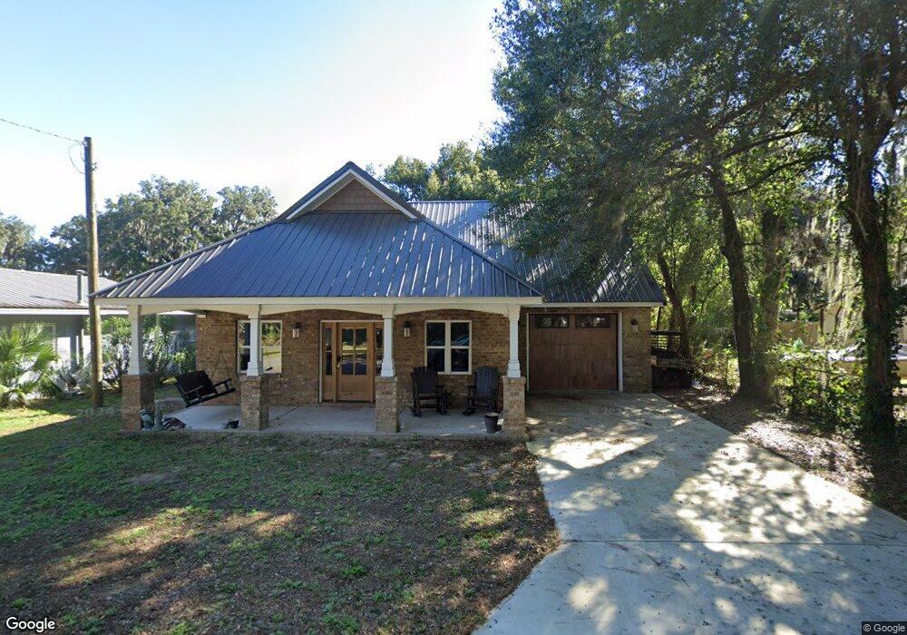
1290 Cedar St NE Townsend, GA 31331
Crescent NeighborhoodEstimated Value: $153,000 - $318,206
3
Beds
2
Baths
1,878
Sq Ft
$129/Sq Ft
Est. Value
About This Home
This home is located at 1290 Cedar St NE, Townsend, GA 31331 and is currently estimated at $242,302, approximately $129 per square foot. 1290 Cedar St NE is a home with nearby schools including Todd Grant Elementary School, McIntosh County Middle School, and McIntosh County Academy.
Ownership History
Date
Name
Owned For
Owner Type
Purchase Details
Closed on
Jan 20, 2022
Sold by
Howard Ronald L
Bought by
Jones Charles John
Current Estimated Value
Home Financials for this Owner
Home Financials are based on the most recent Mortgage that was taken out on this home.
Original Mortgage
$43,817
Outstanding Balance
$28,427
Interest Rate
3.45%
Mortgage Type
Cash
Estimated Equity
$213,875
Purchase Details
Closed on
Oct 16, 2018
Sold by
Howard Mary Elouise
Bought by
Howard Ronald L
Purchase Details
Closed on
Mar 8, 2012
Sold by
Howard Ronald L
Bought by
Howard Ronald L
Purchase Details
Closed on
Aug 17, 2005
Sold by
Howard Ronald L
Bought by
Howard Ronald L and Howard Tootle-Howard Jettie
Purchase Details
Closed on
Jan 6, 2005
Sold by
Hollowell Jan Charlene
Bought by
Howard Ronald L
Create a Home Valuation Report for This Property
The Home Valuation Report is an in-depth analysis detailing your home's value as well as a comparison with similar homes in the area
Home Values in the Area
Average Home Value in this Area
Purchase History
| Date | Buyer | Sale Price | Title Company |
|---|---|---|---|
| Jones Charles John | $42,500 | -- | |
| Howard Ronald L | -- | -- | |
| Howard Ronald L | -- | -- | |
| Howard Ronald L | -- | -- | |
| Howard Ronald L | $10,000 | -- |
Source: Public Records
Mortgage History
| Date | Status | Borrower | Loan Amount |
|---|---|---|---|
| Open | Jones Charles John | $43,817 |
Source: Public Records
Tax History
| Year | Tax Paid | Tax Assessment Tax Assessment Total Assessment is a certain percentage of the fair market value that is determined by local assessors to be the total taxable value of land and additions on the property. | Land | Improvement |
|---|---|---|---|---|
| 2024 | $2,006 | $72,320 | $17,000 | $55,320 |
| 2023 | $119 | $4,280 | $3,280 | $1,000 |
| 2022 | $119 | $4,280 | $3,280 | $1,000 |
| 2021 | $114 | $4,280 | $3,280 | $1,000 |
| 2020 | $133 | $5,000 | $4,000 | $1,000 |
| 2019 | $133 | $5,000 | $4,000 | $1,000 |
| 2018 | $106 | $4,000 | $4,000 | $0 |
| 2017 | $128 | $4,800 | $4,800 | $0 |
| 2016 | $128 | $4,800 | $4,800 | $0 |
Source: Public Records
Map
Nearby Homes
- 1207 Lewis Ln NE
- 1334 Azalea Rd NE
- Lot 1 Thompson Rd NE
- 1048 NE Sapelo Gardens Rd
- 1237 Oneal Dr NE
- 1262 Sapelo Gardens
- 1090 Goldfinch Loop NE
- 3308 Fair Hope Rd NE
- Lot 45 Marsh Dr NE
- 0 Marsh Dr NE Unit SA351566
- 1156 Marsh Dr NE
- 1214 Shell Point Rd NE
- 0 Pelican Perch Rd
- 1106 Shell Point Rd NE
- 1304 Old Smokey
- 1057 Shell Point Rd NE
- 2050 Belle Hammock Rd NE
- 3558 Belle Hammock Rd NE
- LOT 230 Coopers Landind Dr NE
- 3217 Coopers Point Dr NE
- 1300 Cedar St NE
- 1260 Cedar St NE
- 1265 River St NE
- 1281 River St NE
- 1259 N Cedar St NE
- 1336 Cedar St NE
- 1291 River St NE
- 1629 River St NE
- 1346 Sapelo Ave NE
- 1258 River St NE
- 1227 River St NE
- 1245 Cedar St NE
- 1303 Cedar St NE
- 1286 River St NE
- 1224 River St NE
- 1255 Boundary St NE
- 1232 Cedar St NE
- 1305 Sapelo Ave NE
- 1418 Sapelo Ave NE
- 1229 Boundary St NE
Your Personal Tour Guide
Ask me questions while you tour the home.