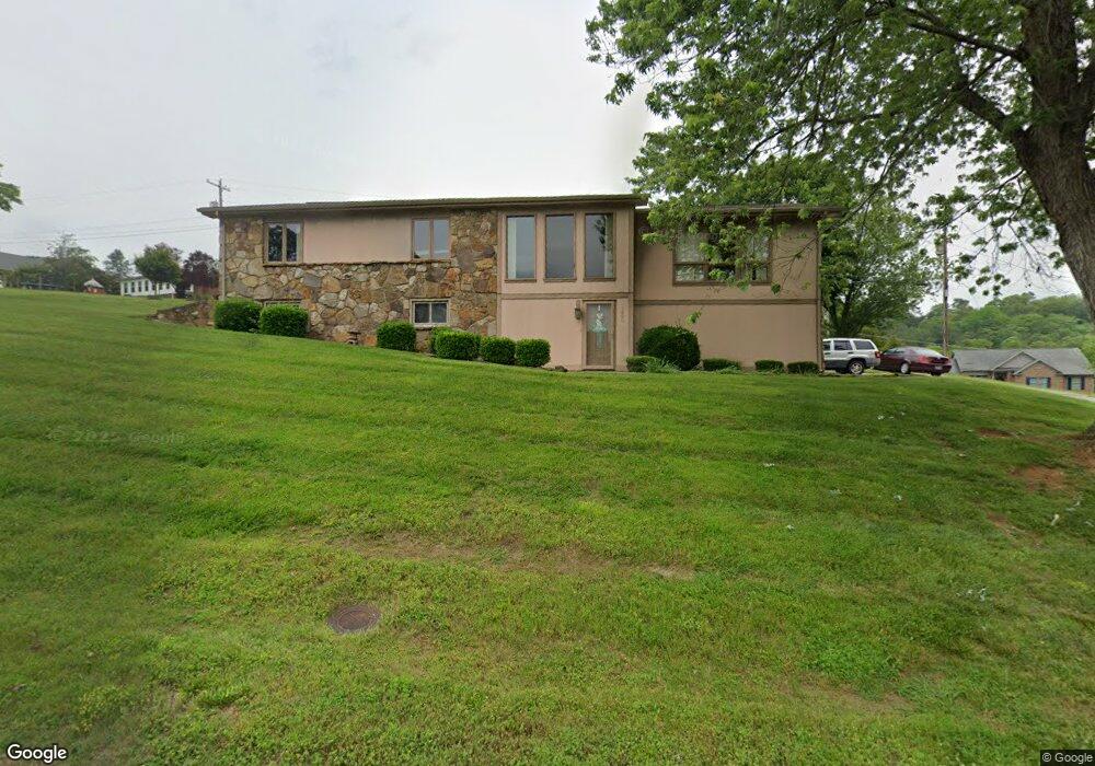
1290 Daniel Boone Dr Morristown, TN 37814
Estimated Value: $324,030 - $427,000
--
Bed
3
Baths
1,905
Sq Ft
$206/Sq Ft
Est. Value
About This Home
This home is located at 1290 Daniel Boone Dr, Morristown, TN 37814 and is currently estimated at $392,508, approximately $206 per square foot. 1290 Daniel Boone Dr is a home located in Hamblen County with nearby schools including West Elementary School, Lincoln Heights Middle School, and Morristown West High School.
Ownership History
Date
Name
Owned For
Owner Type
Purchase Details
Closed on
Jun 13, 2000
Sold by
Ramsey Thomas H and Ramsey Marjorie
Bought by
Russell Matlocks Robert
Current Estimated Value
Purchase Details
Closed on
Jul 1, 1996
Sold by
Pack Cindi S
Bought by
Ramsey Thomas
Purchase Details
Closed on
Mar 11, 1988
Bought by
Pack Cindi S
Purchase Details
Closed on
Feb 2, 1986
Bought by
Pack Robert N and Pack Cindi S
Create a Home Valuation Report for This Property
The Home Valuation Report is an in-depth analysis detailing your home's value as well as a comparison with similar homes in the area
Home Values in the Area
Average Home Value in this Area
Purchase History
| Date | Buyer | Sale Price | Title Company |
|---|---|---|---|
| Russell Matlocks Robert | $129,900 | -- | |
| Ramsey Thomas | $115,000 | -- | |
| Pack Cindi S | -- | -- | |
| Pack Robert N | $79,000 | -- |
Source: Public Records
Tax History Compared to Growth
Tax History
| Year | Tax Paid | Tax Assessment Tax Assessment Total Assessment is a certain percentage of the fair market value that is determined by local assessors to be the total taxable value of land and additions on the property. | Land | Improvement |
|---|---|---|---|---|
| 2024 | $829 | $47,125 | $8,900 | $38,225 |
| 2023 | $829 | $47,125 | $0 | $0 |
| 2022 | $1,489 | $47,125 | $8,900 | $38,225 |
| 2021 | $1,489 | $47,125 | $8,900 | $38,225 |
| 2020 | $1,487 | $47,125 | $8,900 | $38,225 |
| 2019 | $1,398 | $41,100 | $9,525 | $31,575 |
| 2018 | $1,295 | $41,100 | $9,525 | $31,575 |
| 2017 | $1,274 | $41,100 | $9,525 | $31,575 |
| 2016 | $1,216 | $41,100 | $9,525 | $31,575 |
| 2015 | $1,132 | $41,100 | $9,525 | $31,575 |
| 2014 | -- | $41,100 | $9,525 | $31,575 |
| 2013 | -- | $45,975 | $0 | $0 |
Source: Public Records
Map
Nearby Homes
- 1225 Appalachian Trace
- 1361 Appalachian Trace
- 509 Windridge Ln
- 1230 Mcfarland St Unit 37
- 1230 Mcfarland St Unit 3
- 1626 Cardinal Dr
- Lot 267 Waterview Way
- Lot 295 Inlet Cove
- 1613 Cardinal Dr
- 1770 Walters Dr
- 1318 Secretariat Dr
- 1171 Pine Haven Dr
- 877 Pine Haven Dr
- 941 Heykoop Dr
- 145 Virginia Ave
- 1442 Darbee Dr
- 506 Katerina Dr
- 235 Gilbert St
- 1620 Evergreen Dr
- 137 Morton St
- 1304 Daniel Boone Dr
- 1194 Daniel Boone Dr
- 1289 Daniel Boone Dr
- 1303 Daniel Boone Dr
- 1231 Appalachian Trace
- 1285 Daniel Boone Dr
- 1226 Appalachian Trace
- 1325 Daniel Boone Dr
- 1218 Appalachian Trace
- 1350 Daniel Boone Dr
- 1230 Appalachian Trace
- 1237 Appalachian Trace
- 1724 Wiley Blount Dr
- 1351 Daniel Boone Dr
- 1730 Wiley Blount Dr
- 1718 Wiley Blount Dr
- 1515 Whiteside Dr
- 1236 Appalachian Trace
- 1523 Whiteside Dr
- 1509 Whiteside Dr