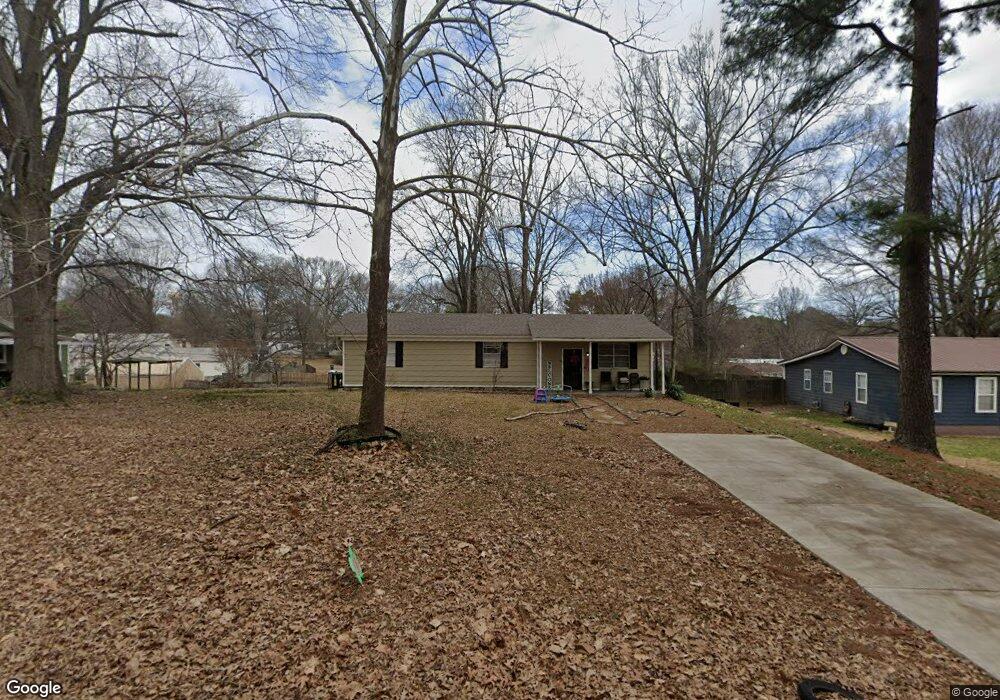
1290 Haywood Dr Southaven, MS 38671
Estimated Value: $175,000 - $215,000
2
Beds
1
Bath
1,366
Sq Ft
$140/Sq Ft
Est. Value
About This Home
This home is located at 1290 Haywood Dr, Southaven, MS 38671 and is currently estimated at $191,189, approximately $139 per square foot. 1290 Haywood Dr is a home located in DeSoto County with nearby schools including Hope Sullivan Elementary School, Southaven Intermediate School, and Southaven Middle School.
Ownership History
Date
Name
Owned For
Owner Type
Purchase Details
Closed on
Apr 30, 2021
Sold by
Memphis Investment Properties Iii Llc
Bought by
Osako Shuji
Current Estimated Value
Purchase Details
Closed on
Feb 24, 2021
Sold by
Looxahoma Properties Inc
Bought by
Memphis Investment Properties Iii Llc
Home Financials for this Owner
Home Financials are based on the most recent Mortgage that was taken out on this home.
Original Mortgage
$94,675
Interest Rate
2.7%
Mortgage Type
Commercial
Create a Home Valuation Report for This Property
The Home Valuation Report is an in-depth analysis detailing your home's value as well as a comparison with similar homes in the area
Home Values in the Area
Average Home Value in this Area
Purchase History
| Date | Buyer | Sale Price | Title Company |
|---|---|---|---|
| Osako Shuji | -- | Delta Title Services Llc | |
| Memphis Investment Properties Iii Llc | -- | Delta Title Services Llc |
Source: Public Records
Mortgage History
| Date | Status | Borrower | Loan Amount |
|---|---|---|---|
| Previous Owner | Memphis Investment Properties Iii Llc | $94,675 |
Source: Public Records
Tax History Compared to Growth
Tax History
| Year | Tax Paid | Tax Assessment Tax Assessment Total Assessment is a certain percentage of the fair market value that is determined by local assessors to be the total taxable value of land and additions on the property. | Land | Improvement |
|---|---|---|---|---|
| 2024 | $1,147 | $7,867 | $1,500 | $6,367 |
| 2023 | $1,147 | $7,867 | $0 | $0 |
| 2022 | $1,123 | $7,867 | $1,500 | $6,367 |
| 2021 | $751 | $5,245 | $1,000 | $4,245 |
| 2020 | $703 | $4,905 | $1,000 | $3,905 |
| 2019 | $703 | $4,905 | $1,000 | $3,905 |
| 2017 | $695 | $8,650 | $4,825 | $3,825 |
| 2016 | $695 | $4,825 | $1,000 | $3,825 |
| 2015 | $687 | $8,650 | $4,825 | $3,825 |
| 2014 | $695 | $4,825 | $0 | $0 |
| 2013 | $695 | $4,825 | $0 | $0 |
Source: Public Records
Map
Nearby Homes
- 5393 Peppermill Dr
- 5381 Peppermill Dr
- 5379 Bradley Dr
- 1652 Thomas St
- 1664 Thomas St
- 1784 Thomas St
- 1876 Greeno Dr
- 6275 U S Highway 51
- 1926 Tissington Dr
- 1939 Ingleside Cove
- 5330 Kalian Cove
- 5353 Pollard Dr
- 672 Grant Dr
- 5448 Pollard Dr
- 5353 Kristy Ln
- 5339 Kristy Ln
- 5240 Park Place Dr
- 4925 Winesap Dr
- 0 Pepper Chase Dr
- 6433 Arbor Lake Dr W
- 1308 Haywood Dr
- 1274 Haywood Dr
- 1379 Willard Dr
- 1355 Willard Dr
- 1256 Haywood Dr
- 1348 Haywood Dr
- 1417 Willard Dr
- 1311 Haywood Dr
- 1291 Haywood Dr
- 1331 Willard Dr
- 1331 Haywood Dr
- 1275 Haywood Dr
- 0 Haywood Dr
- 1232 Haywood Dr
- 1427 Willard Dr
- 1349 Haywood Dr
- 1251 Haywood Dr
- 1307 Willard Dr
- 1370 Haywood Dr
- 5438 Jackson Cove