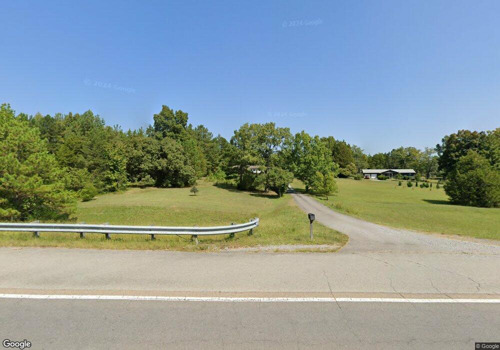
1290 Highway 30 W Athens, TN 37303
Estimated Value: $285,000 - $352,000
--
Bed
2
Baths
1,500
Sq Ft
$217/Sq Ft
Est. Value
About This Home
This home is located at 1290 Highway 30 W, Athens, TN 37303 and is currently estimated at $326,000, approximately $217 per square foot. 1290 Highway 30 W is a home located in McMinn County.
Ownership History
Date
Name
Owned For
Owner Type
Purchase Details
Closed on
Mar 12, 2003
Sold by
Dake Douglas K
Bought by
Dake Christopher D
Current Estimated Value
Purchase Details
Closed on
Dec 31, 1999
Bought by
Dake Douglas Knox and Dake Judy Lynn
Purchase Details
Closed on
Aug 6, 1999
Sold by
Harris J W S
Bought by
Harris J W
Home Financials for this Owner
Home Financials are based on the most recent Mortgage that was taken out on this home.
Original Mortgage
$63,000
Interest Rate
7.7%
Purchase Details
Closed on
May 15, 1987
Bought by
Rogers John Calfee and Rebecca Lynn
Purchase Details
Closed on
Jan 26, 1983
Create a Home Valuation Report for This Property
The Home Valuation Report is an in-depth analysis detailing your home's value as well as a comparison with similar homes in the area
Home Values in the Area
Average Home Value in this Area
Purchase History
| Date | Buyer | Sale Price | Title Company |
|---|---|---|---|
| Dake Christopher D | $12,000 | -- | |
| Dake Douglas Knox | $8,000 | -- | |
| Harris J W | -- | -- | |
| Rogers John Calfee | -- | -- | |
| -- | -- | -- |
Source: Public Records
Mortgage History
| Date | Status | Borrower | Loan Amount |
|---|---|---|---|
| Previous Owner | Not Available | $63,000 |
Source: Public Records
Tax History Compared to Growth
Tax History
| Year | Tax Paid | Tax Assessment Tax Assessment Total Assessment is a certain percentage of the fair market value that is determined by local assessors to be the total taxable value of land and additions on the property. | Land | Improvement |
|---|---|---|---|---|
| 2025 | $542 | $50,075 | $0 | $0 |
| 2024 | $542 | $50,075 | $10,325 | $39,750 |
| 2023 | $542 | $50,075 | $10,325 | $39,750 |
| 2022 | $547 | $35,375 | $9,300 | $26,075 |
| 2021 | $547 | $35,375 | $9,300 | $26,075 |
| 2020 | $545 | $35,225 | $9,300 | $25,925 |
| 2019 | $545 | $35,225 | $9,300 | $25,925 |
| 2018 | $545 | $35,225 | $9,300 | $25,925 |
| 2017 | $438 | $27,125 | $8,275 | $18,850 |
| 2016 | $438 | $27,125 | $8,275 | $18,850 |
| 2015 | -- | $27,125 | $8,275 | $18,850 |
| 2014 | $438 | $27,118 | $0 | $0 |
Source: Public Records
Map
Nearby Homes
- 333 County Road 184
- 185 County Road 179
- 169 County Road 188
- 166 County Road 168
- 130 County Road 124
- 63 County Road 100
- 2 County Road 121
- 190 Sims Rd
- 0 County Rd 121 Lot 3 10 6 Ac
- 0 County Rd 121 17 6 Ac Unit 1310787
- 0
- 104 County Road 169
- 12274 N Nopone Valley Rd
- 361 County Road 170
- 0 Denso Dr Unit RTC3014670
- 0 Denso Dr Unit 1522126
- 198 County Road 128
- 838 County Road 105
- 1031 County Road 110
- 789 County Road 172
- 1282 Highway 30 W
- 149 County Road 180
- 986 County Road 119
- 1275 Highway 30 W
- 0 Highway 30 W
- 952 County Road 119
- 934 County Road 119
- 180 County Rd
- 161 County Road 180
- 981 County Road 119
- 981 County Road 119
- 1334 Highway 30 W
- 175 County Road 180
- 1045 County Road 119
- 0 Hwy 30 Co Rd 180 Unit 874034
- 1297 Highway 30 W
- 909 County Road 119
- 100 County Road 105
- 8 County Road 105
- 6 County Road 105