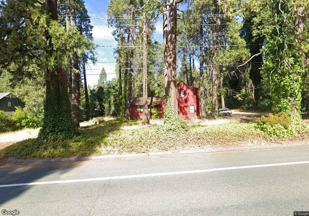
12900 Colfax Hwy Grass Valley, CA 95945
Estimated Value: $450,000 - $529,000
4
Beds
2
Baths
1,572
Sq Ft
$308/Sq Ft
Est. Value
About This Home
This home is located at 12900 Colfax Hwy, Grass Valley, CA 95945 and is currently estimated at $483,667, approximately $307 per square foot. 12900 Colfax Hwy is a home located in Nevada County with nearby schools including Union Hill Elementary School, Grass Valley Charter School, and Mount St. Mary's Academy.
Ownership History
Date
Name
Owned For
Owner Type
Purchase Details
Closed on
Sep 19, 2011
Sold by
Mills Anita L
Bought by
Mills Anita L and The James & Anita Mills Living
Current Estimated Value
Purchase Details
Closed on
Mar 18, 2004
Sold by
Mills Robert J and Mills Marian E
Bought by
Spens Mills Robert J and Spens Mills James
Purchase Details
Closed on
Apr 17, 2000
Sold by
Mills Robert J and Mills Marian E
Bought by
Mills Robert J and Mills Marian E
Purchase Details
Closed on
Mar 31, 1999
Sold by
Spens Mills Robert J and Spens James
Bought by
Mills Robert J and Mills Marian E
Create a Home Valuation Report for This Property
The Home Valuation Report is an in-depth analysis detailing your home's value as well as a comparison with similar homes in the area
Home Values in the Area
Average Home Value in this Area
Purchase History
| Date | Buyer | Sale Price | Title Company |
|---|---|---|---|
| Mills Anita L | -- | None Available | |
| Spens Mills Robert J | -- | -- | |
| Mills Robert J | -- | -- | |
| Mills Robert J | -- | -- |
Source: Public Records
Tax History
| Year | Tax Paid | Tax Assessment Tax Assessment Total Assessment is a certain percentage of the fair market value that is determined by local assessors to be the total taxable value of land and additions on the property. | Land | Improvement |
|---|---|---|---|---|
| 2025 | $1,020 | $67,542 | $14,033 | $53,509 |
| 2024 | $998 | $66,218 | $13,758 | $52,460 |
| 2023 | $998 | $64,921 | $13,489 | $51,432 |
| 2022 | $974 | $63,649 | $13,225 | $50,424 |
| 2021 | $924 | $62,402 | $12,966 | $49,436 |
| 2020 | $915 | $61,764 | $12,834 | $48,930 |
| 2019 | $900 | $60,554 | $12,583 | $47,971 |
| 2018 | $879 | $59,368 | $12,337 | $47,031 |
| 2017 | $861 | $58,205 | $12,096 | $46,109 |
| 2016 | $835 | $57,064 | $11,859 | $45,205 |
| 2015 | $825 | $56,207 | $11,681 | $44,526 |
| 2014 | $825 | $55,107 | $11,453 | $43,654 |
Source: Public Records
Map
Nearby Homes
- 11355 Brunswick Dr
- 0 Cedar Ridge Dr
- 12933 Elk Ln
- 12540 Beaver Dr
- 12555 Colfax Hwy
- 11070 Brunswick Dr
- 12968 Somerset Dr
- 13028 Somerset Dr
- 11780 W Brookview Dr
- 12159 Colfax Hwy
- 13383 Bass Trail
- 12489 New Brunswick Ct
- 14458 Anchor Ln
- 14207 Tim Burr Ln
- 12195-12233 E Bennett Rd
- 13050 Brookview Drive Cir
- 13821 Golden Lily Ct
- 12401 Old Mine Rd
- 11684 Sunrise Ln
- 13081 Pine Cone Cir
Your Personal Tour Guide
Ask me questions while you tour the home.