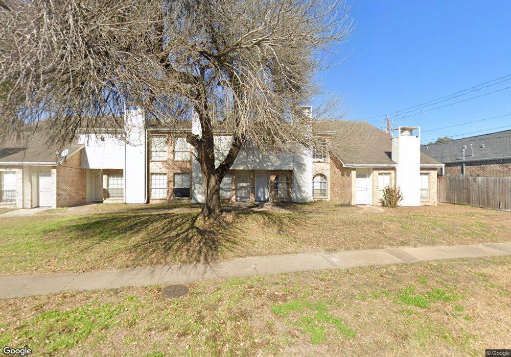
12900 Newbrook Dr Unit 1 Houston, TX 77072
Alief NeighborhoodEstimated Value: $173,000 - $237,000
3
Beds
3
Baths
1,575
Sq Ft
$131/Sq Ft
Est. Value
About This Home
This home is located at 12900 Newbrook Dr Unit 1, Houston, TX 77072 and is currently estimated at $206,781, approximately $131 per square foot. 12900 Newbrook Dr Unit 1 is a home located in Harris County with nearby schools including Alexander Elementary School, Youngblood Intermediate School, and Holub Middle School.
Ownership History
Date
Name
Owned For
Owner Type
Purchase Details
Closed on
Jan 14, 2019
Sold by
Maharddhika Herdi
Bought by
Maharddhika Nining
Current Estimated Value
Purchase Details
Closed on
Jul 8, 2004
Sold by
Crowe Prentiss
Bought by
Waldron Blake
Home Financials for this Owner
Home Financials are based on the most recent Mortgage that was taken out on this home.
Original Mortgage
$59,250
Interest Rate
8%
Mortgage Type
Purchase Money Mortgage
Create a Home Valuation Report for This Property
The Home Valuation Report is an in-depth analysis detailing your home's value as well as a comparison with similar homes in the area
Home Values in the Area
Average Home Value in this Area
Purchase History
| Date | Buyer | Sale Price | Title Company |
|---|---|---|---|
| Maharddhika Nining | -- | None Available | |
| Waldron Blake | -- | American Title Co |
Source: Public Records
Mortgage History
| Date | Status | Borrower | Loan Amount |
|---|---|---|---|
| Previous Owner | Waldron Blake | $59,250 |
Source: Public Records
Tax History Compared to Growth
Tax History
| Year | Tax Paid | Tax Assessment Tax Assessment Total Assessment is a certain percentage of the fair market value that is determined by local assessors to be the total taxable value of land and additions on the property. | Land | Improvement |
|---|---|---|---|---|
| 2025 | $4,060 | $168,539 | $15,773 | $152,766 |
| 2024 | $4,060 | $174,728 | $15,773 | $158,955 |
| 2023 | $4,060 | $187,157 | $15,773 | $171,384 |
| 2022 | $4,118 | $165,841 | $15,773 | $150,068 |
| 2021 | $3,280 | $130,834 | $15,773 | $115,061 |
| 2020 | $3,429 | $130,834 | $15,773 | $115,061 |
| 2019 | $3,655 | $130,834 | $15,773 | $115,061 |
| 2018 | $1,170 | $87,975 | $15,773 | $72,202 |
| 2017 | $2,449 | $87,975 | $15,773 | $72,202 |
| 2016 | $2,449 | $0 | $0 | $0 |
| 2015 | $845 | $79,215 | $15,773 | $63,442 |
| 2014 | $845 | $67,329 | $15,773 | $51,556 |
Source: Public Records
Map
Nearby Homes
- 12914 Cloverwalk Ln
- 12722 Yoshino Cherry St
- 12712 Plummersville St
- 13007 Hill Canyon Ln
- 13034 Lima Dr
- 8910 Beau Monde Dr
- 13102 Lima Dr
- 12682 Newbrook Dr
- 12678 Newbrook Dr Unit 463
- 12668 Newbrook Dr Unit 495
- 12632 Newbrook Dr
- 12606 Newbrook Dr
- 12605 Wellington Park Dr Unit 17
- 12581 Wellington Park Dr
- 8115 Barnes Ridge Ln
- 8907 S Dairy Ashford Rd
- 12543 Wellington Park Dr
- 13122 Stratford Skies Ln
- 0 Bissonnet St Unit 5006520
- 13030 Brutus Hill Ln
- 12900 Newbrook Dr Unit 2
- 12900 Newbrook Dr Unit 5
- 12900 Newbrook Dr Unit 4
- 12900 Newbrook Dr Unit 3
- 12900 Newbrook Dr
- 12900 Newbrook Dr Unit 1-5
- 12903 Pale Ivy Ln
- 12840 Newbrook Dr
- 8551 Westknoll Ln
- 12907 Pale Ivy Ln
- 12836 Newbrook Dr
- 8547 Westknoll Ln
- 12832 Newbrook Dr
- 12911 Pale Ivy Ln
- 12906 Pale Ivy Ln
- 8543 Westknoll Ln
- 8602 Brookwulf Dr
- 12915 Pale Ivy Ln
- 12910 Pale Ivy Ln
- 8539 Westknoll Ln