12901 10th St NE Spicer, MN 56288
Estimated Value: $758,000 - $857,952
4
Beds
3
Baths
3,173
Sq Ft
$251/Sq Ft
Est. Value
About This Home
This home is located at 12901 10th St NE, Spicer, MN 56288 and is currently estimated at $795,317, approximately $250 per square foot. 12901 10th St NE is a home located in Kandiyohi County with nearby schools including Prairie Woods Elementary School, New London-Spicer Middle School, and New London-Spicer Senior High School.
Ownership History
Date
Name
Owned For
Owner Type
Purchase Details
Closed on
Mar 24, 2022
Sold by
Kelly Patrick and Kelly Catherine
Bought by
Kelly Clinton and Kelly Erin
Current Estimated Value
Home Financials for this Owner
Home Financials are based on the most recent Mortgage that was taken out on this home.
Original Mortgage
$600,000
Outstanding Balance
$559,121
Interest Rate
3.69%
Mortgage Type
New Conventional
Estimated Equity
$236,196
Purchase Details
Closed on
Mar 30, 2018
Sold by
Evenson Michael L and Evenson Jodi B
Bought by
Kelly Patrick and Kelly Catherine
Create a Home Valuation Report for This Property
The Home Valuation Report is an in-depth analysis detailing your home's value as well as a comparison with similar homes in the area
Home Values in the Area
Average Home Value in this Area
Purchase History
| Date | Buyer | Sale Price | Title Company |
|---|---|---|---|
| Kelly Clinton | $600,000 | -- | |
| Kelly Patrick | $500,000 | -- |
Source: Public Records
Mortgage History
| Date | Status | Borrower | Loan Amount |
|---|---|---|---|
| Open | Kelly Clinton | $600,000 |
Source: Public Records
Tax History Compared to Growth
Tax History
| Year | Tax Paid | Tax Assessment Tax Assessment Total Assessment is a certain percentage of the fair market value that is determined by local assessors to be the total taxable value of land and additions on the property. | Land | Improvement |
|---|---|---|---|---|
| 2025 | $7,136 | $844,300 | $190,300 | $654,000 |
| 2024 | $6,644 | $811,000 | $163,200 | $647,800 |
| 2023 | $6,030 | $801,100 | $189,600 | $611,500 |
| 2022 | $6,224 | $760,500 | $181,800 | $578,700 |
| 2021 | $5,990 | $662,800 | $158,700 | $504,100 |
| 2020 | $4,274 | $602,700 | $158,100 | $444,600 |
| 2019 | $2,482 | $434,600 | $159,800 | $274,800 |
| 2018 | $2,372 | $371,700 | $176,300 | $195,400 |
| 2017 | $2,426 | $365,300 | $176,300 | $189,000 |
| 2016 | $2,320 | $2,622 | $0 | $0 |
| 2015 | -- | $0 | $0 | $0 |
| 2014 | -- | $0 | $0 | $0 |
Source: Public Records
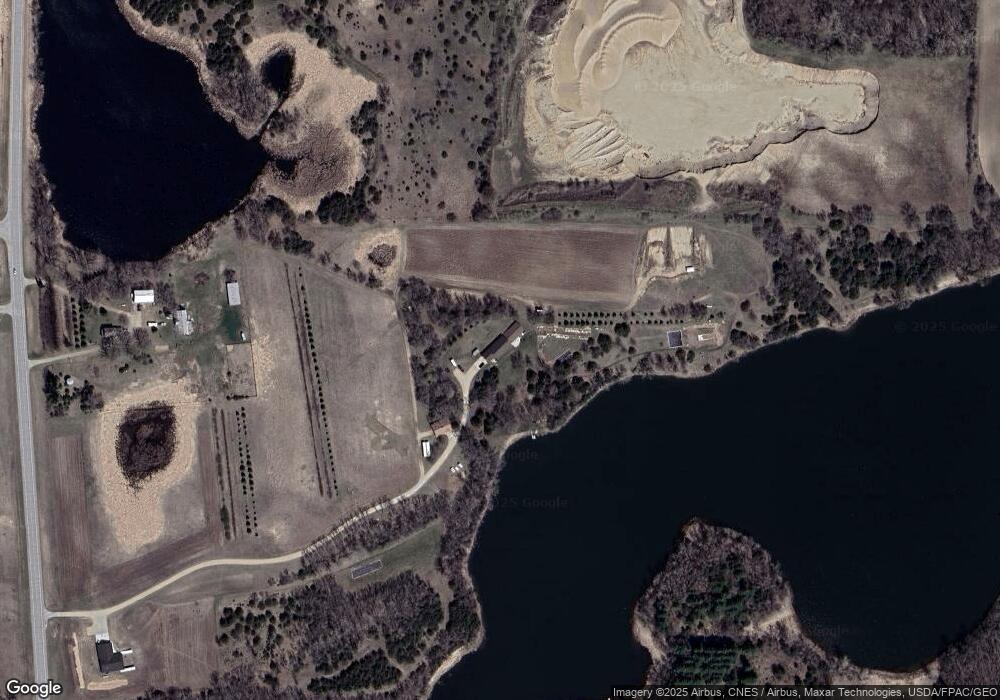
Map
Nearby Homes
- 311 131st Ave NE
- 13112 2nd St NE
- 1245 137th Ave NW
- 10957 Highway 71 NE
- 4316 133rd Ave NE
- 4808 132nd Ave NE Unit 25
- 4539 141st Ave NE
- 5078 132nd Ave NE
- 5288 132nd Ave NE Unit C7
- 5288 (R22) 53rd St NE
- 5288 (R24) 53rd St NE
- 5272 (R26) 53rd St NE
- 5288 (R19) 53rd St NE
- 13205 (R17) 53rd St NE
- 5288 (R23) 53rd St NE
- 6844 140th Ave NE
- 7641 Long Lake Rd
- 3091 77th Ave NE
- 6567 150th Ave NE
- 870 S Andrew Dr NE
- 1450 122nd Ave NE
- 12895 10th St NE
- 13055 10th St NE
- 12721 10th St NE
- 16502 10th St NE
- 12505 10th St NE
- 1306 122nd Ave NE
- 1104 122nd Ave NE
- 1818 122nd Ave NE
- 12190 11th St NE
- 1902 122nd Ave NE
- 688 131st Ave NE
- 1911 122nd Ave NE
- xxx 122nd Ave NE
- 502 131st Ave NE
- 12176 21st St NE
- 12050 21st St NE
- 2186 122nd Ave NE
- 430 131st Ave NE
- 12197 21st St NE