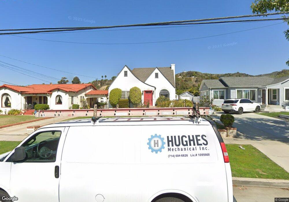
12901 Orange Dr Whittier, CA 90601
West Whittier NeighborhoodEstimated Value: $933,000 - $962,454
3
Beds
2
Baths
1,744
Sq Ft
$541/Sq Ft
Est. Value
About This Home
This home is located at 12901 Orange Dr, Whittier, CA 90601 and is currently estimated at $944,114, approximately $541 per square foot. 12901 Orange Dr is a home located in Los Angeles County with nearby schools including Longfellow Elementary School, Walter F. Dexter Middle School, and Whittier High School.
Ownership History
Date
Name
Owned For
Owner Type
Purchase Details
Closed on
Jul 21, 2005
Sold by
Mcdonald Richard A and Vides Ana V
Bought by
Mcdonald Richard
Current Estimated Value
Home Financials for this Owner
Home Financials are based on the most recent Mortgage that was taken out on this home.
Original Mortgage
$420,000
Outstanding Balance
$151,758
Interest Rate
1%
Mortgage Type
Negative Amortization
Estimated Equity
$792,356
Purchase Details
Closed on
May 14, 2003
Sold by
Hussey Gary E and Hussey Diane L
Bought by
Mcdonald Richard A
Home Financials for this Owner
Home Financials are based on the most recent Mortgage that was taken out on this home.
Original Mortgage
$320,000
Interest Rate
4.25%
Mortgage Type
Purchase Money Mortgage
Create a Home Valuation Report for This Property
The Home Valuation Report is an in-depth analysis detailing your home's value as well as a comparison with similar homes in the area
Home Values in the Area
Average Home Value in this Area
Purchase History
We collect this data history from publicly available records. To have your information removed, we recommend requesting removal directly through your county’s website.
| Date | Buyer | Sale Price | Title Company |
|---|---|---|---|
| Mcdonald Richard | -- | Commonwealth Land Title Co | |
| Mcdonald Richard A | $400,000 | Orange Coast Title |
Source: Public Records
Mortgage History
We collect this data history from publicly available records. To have your information removed, we recommend requesting removal directly through your county’s website.
| Date | Status | Borrower | Loan Amount |
|---|---|---|---|
| Open | Mcdonald Richard | $420,000 | |
| Closed | Mcdonald Richard A | $320,000 |
Source: Public Records
Tax History
| Year | Tax Paid | Tax Assessment Tax Assessment Total Assessment is a certain percentage of the fair market value that is determined by local assessors to be the total taxable value of land and additions on the property. | Land | Improvement |
|---|---|---|---|---|
| 2025 | $7,802 | $579,312 | $385,971 | $193,341 |
| 2024 | $7,254 | $567,953 | $378,403 | $189,550 |
| 2023 | $6,979 | $556,818 | $370,984 | $185,834 |
| 2022 | $6,855 | $545,901 | $363,710 | $182,191 |
| 2021 | $6,672 | $535,198 | $356,579 | $178,619 |
| 2019 | $6,533 | $519,325 | $346,003 | $173,322 |
| 2018 | $6,323 | $509,143 | $339,219 | $169,924 |
| 2016 | $6,070 | $489,375 | $326,048 | $163,327 |
| 2015 | $5,994 | $482,025 | $321,151 | $160,874 |
| 2014 | $5,893 | $472,584 | $314,861 | $157,723 |
Source: Public Records
Map
Nearby Homes
- 5827 Washington Ave
- 5847 Newlin Ave
- 5851 Friends Ave
- 5544 Greenleaf Ave
- 5628 Panorama Dr
- 6051 Pickering Ave
- 12429 Floral Dr
- 6233 Haviland Ave
- 12202 Orange Dr
- 12708 Hadley St
- 13112 Hadley St
- 12113 Beverly Blvd Unit K
- 12341 Muir Ct
- 13570 Turnbull Canyon Rd
- 6532 Friends Ave
- 12618 Bailey St
- 13521 Terrace Place
- 6717 Pickering Ave
- 13429 Bailey St
- 13453 Bailey St
- 12904 Orange Dr
- 5808 Comstock Ave
- 5812 Comstock Ave
- 12907 Orange Dr
- 5818 Comstock Ave
- 5803 Greenleaf Ave
- 12913 Orange Dr
- 5807 Greenleaf Ave
- 12831 Orange Dr
- 5813 Greenleaf Ave
- 12921 Orange Dr Unit ROOM/BA ONLY
- 12921 Orange Dr
- 5822 Comstock Ave
- 5805 Comstock Ave
- 5813 Comstock Ave
- 12825 Orange Dr
- 5817 Comstock Ave Unit 2
- 5817 Comstock Ave
- 5828 Comstock Ave
- 5823 Greenleaf Ave
Your Personal Tour Guide
Ask me questions while you tour the home.