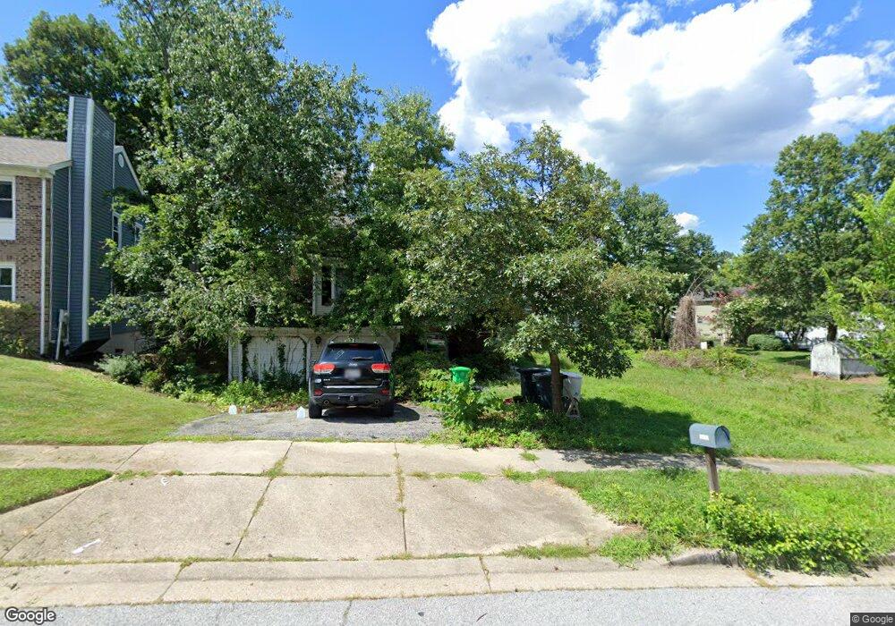
12902 N Point Ln Laurel, MD 20708
South Laurel NeighborhoodEstimated Value: $523,000 - $578,000
Studio
3
Baths
2,184
Sq Ft
$251/Sq Ft
Est. Value
About This Home
This home is located at 12902 N Point Ln, Laurel, MD 20708 and is currently estimated at $548,956, approximately $251 per square foot. 12902 N Point Ln is a home located in Prince George's County with nearby schools including James H. Harrison Elementary School, Dwight D. Eisenhower Middle School, and Laurel High School.
Ownership History
Date
Name
Owned For
Owner Type
Purchase Details
Closed on
Nov 7, 2003
Sold by
Fifth Third Investment Co
Bought by
Ibanez Hilario D R
Current Estimated Value
Purchase Details
Closed on
Mar 21, 2003
Sold by
Harper Vallarie
Bought by
Fifth Third Investment Co and Madisonville Operations Cntr
Purchase Details
Closed on
Aug 30, 1999
Sold by
Ring Terrance J
Bought by
Harper Vallarie
Create a Home Valuation Report for This Property
The Home Valuation Report is an in-depth analysis detailing your home's value as well as a comparison with similar homes in the area
Home Values in the Area
Average Home Value in this Area
Purchase History
| Date | Buyer | Sale Price | Title Company |
|---|---|---|---|
| Ibanez Hilario D R | $263,000 | -- | |
| Fifth Third Investment Co | $204,000 | -- | |
| Harper Vallarie | $179,000 | -- |
Source: Public Records
Tax History
| Year | Tax Paid | Tax Assessment Tax Assessment Total Assessment is a certain percentage of the fair market value that is determined by local assessors to be the total taxable value of land and additions on the property. | Land | Improvement |
|---|---|---|---|---|
| 2025 | $5,657 | $490,200 | $120,400 | $369,800 |
| 2024 | $5,657 | $449,267 | -- | -- |
| 2023 | $5,369 | $408,333 | $0 | $0 |
| 2022 | $5,045 | $367,400 | $96,700 | $270,700 |
| 2021 | $4,884 | $362,233 | $0 | $0 |
| 2020 | $4,832 | $357,067 | $0 | $0 |
| 2019 | $4,754 | $351,900 | $95,800 | $256,100 |
| 2018 | $4,614 | $339,067 | $0 | $0 |
| 2017 | $4,502 | $326,233 | $0 | $0 |
| 2016 | -- | $313,400 | $0 | $0 |
| 2015 | $4,153 | $301,833 | $0 | $0 |
| 2014 | $4,153 | $290,267 | $0 | $0 |
Source: Public Records
Map
Nearby Homes
- 8415 Snowden Oaks Place
- 8307 Snowden Oaks Place
- 8479 Imperial Dr
- 13400 Oaklands Manor Dr
- 8904 Royal Ridge Ln
- 8908 Eastbourne Ln
- 12927 Brickyard Blvd
- 12918 Rustic Rock Ln
- 12600 Cedarbrook Ln
- 7205 Barrberry Ln
- 7338 Calico Rock Lndg Rd
- 13120 Winding Trail Rd
- 12613 Rustic Rock Ln
- 7202 Silver Thorn Way
- 11905 Ellington Dr
- 13106 Old Field Terrace
- 7225 Silver Thorn Way
- 12532 Adobe Aly
- 13713 Shannon Ave
- 13122 Brooktree Ln
- 12900 N Point Ln
- 13002 N Point Ln
- 12906 N Point Ln
- 12907 Black Oak Dr
- 13001 Black Oak Dr
- 12901 N Point Ln
- 12905 Black Oak Dr
- 12810 N Point Ln
- 12903 N Point Ln
- 13006 N Point Ln
- 12811 N Point Ln
- 13003 Black Oak Dr
- 12903 Black Oak Dr
- 12808 N Point Ln
- 8410 Oak Stream Dr
- 12809 N Point Ln
- 13000 Black Oak Dr
- 8408 Oak Stream Dr
- 8412 Oak Stream Dr
- 13001 N Point Ln
Your Personal Tour Guide
Ask me questions while you tour the home.