Estimated Value: $662,000 - $787,000
4
Beds
3
Baths
1,728
Sq Ft
$421/Sq Ft
Est. Value
About This Home
This home is located at 12905 Severin Meadows Trail, Lolo, MT 59847 and is currently estimated at $727,185, approximately $420 per square foot. 12905 Severin Meadows Trail is a home located in Missoula County with nearby schools including Woodman Elementary School, Woodman 7-8, and Sentinel High School.
Ownership History
Date
Name
Owned For
Owner Type
Purchase Details
Closed on
Feb 14, 2002
Sold by
Francis Charles D and Francis Patricia G
Bought by
Hamilton Marsha and Hamilton Terry
Current Estimated Value
Home Financials for this Owner
Home Financials are based on the most recent Mortgage that was taken out on this home.
Original Mortgage
$124,700
Interest Rate
7.04%
Create a Home Valuation Report for This Property
The Home Valuation Report is an in-depth analysis detailing your home's value as well as a comparison with similar homes in the area
Purchase History
| Date | Buyer | Sale Price | Title Company |
|---|---|---|---|
| Hamilton Marsha | -- | -- |
Source: Public Records
Mortgage History
| Date | Status | Borrower | Loan Amount |
|---|---|---|---|
| Closed | Hamilton Marsha | $124,700 |
Source: Public Records
Tax History
| Year | Tax Paid | Tax Assessment Tax Assessment Total Assessment is a certain percentage of the fair market value that is determined by local assessors to be the total taxable value of land and additions on the property. | Land | Improvement |
|---|---|---|---|---|
| 2025 | $4,965 | $694,700 | $270,500 | $424,200 |
| 2024 | $5,606 | $546,300 | $146,000 | $400,300 |
| 2023 | $4,933 | $546,300 | $146,000 | $400,300 |
| 2022 | $3,930 | $371,700 | $0 | $0 |
| 2021 | $3,756 | $371,700 | $0 | $0 |
| 2020 | $3,275 | $313,700 | $0 | $0 |
| 2019 | $3,295 | $313,700 | $0 | $0 |
| 2018 | $3,025 | $292,900 | $0 | $0 |
| 2017 | $2,941 | $292,900 | $0 | $0 |
| 2016 | $2,732 | $285,810 | $0 | $0 |
| 2015 | $2,706 | $285,810 | $0 | $0 |
| 2014 | $2,511 | $147,612 | $0 | $0 |
Source: Public Records
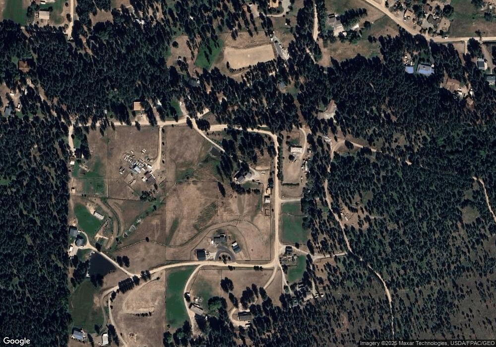
Map
Nearby Homes
- 15310 Lolo Creek Rd
- Lolo
- 10636 Nez Perce Loop
- Nhn Nez Perce Loop
- 12196 Cowcatcher Dr
- 9883 Hatton Ln
- 8350 Vann Dr
- 15100 Rock Ridge Rd
- 16485 Folsom Rd
- 12326 Nature Ct
- 12458 Nature Ct
- 16374 Folsom Rd
- Florence
- 12819 Anchor Rd
- 8744 McClain Creek Rd
- 6760 Ruby Ct
- 12836 Cameron's Way
- 6896 Jack Pine Ct
- 10291 Coulter Pine St
- 000 Round Top Bluff
- 12930 Severin Meadows Trail
- 12850 Mill Creek Rd
- 13025 Severin Meadows Trail
- 12855 Mill Creek Rd
- 12860 Mill Creek Rd
- 12820 Mill Creek Rd
- 12861 Mill Creek Rd
- 13075 Severin Meadows Trail
- 12960 Severin Meadows Trail
- 12870 Mill Creek Rd
- 15465 Thayer Dr
- 15465 Thayer Dr
- 14500 Neil Dr
- 15485 Thayer Dr
- 15485 Thayer Dr
- 14538 Neil Dr
- 12655 Mill Creek Rd
- 13120 Severin Meadows Trail
- 14550 Neil Dr
- 12885 Mill Creek Rd